A Crop Yield Estimation System Using UAV Remote Sensing Technology
A kind of remote sensing technology, UAV technology, applied in the field of aerial remote sensing, can solve the problems of lack, UAV can not automatically replace the remote sensing image acquisition equipment, etc., to achieve the effect of improving reliability, low probability of human error, and high efficiency
- Summary
- Abstract
- Description
- Claims
- Application Information
AI Technical Summary
Problems solved by technology
Method used
Image
Examples
Embodiment Construction
[0037] The specific embodiments of the present invention will be further described in detail by describing the embodiments below with reference to the accompanying drawings, so as to help those skilled in the art have a more complete, accurate and in-depth understanding of the inventive concepts and technical solutions of the present invention.
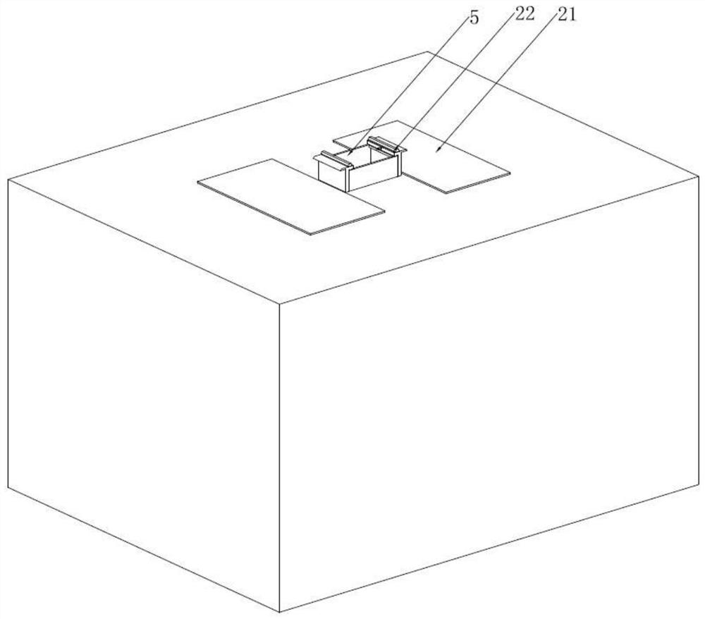
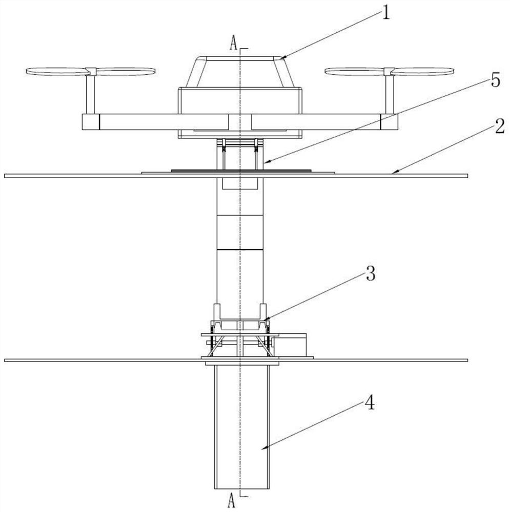
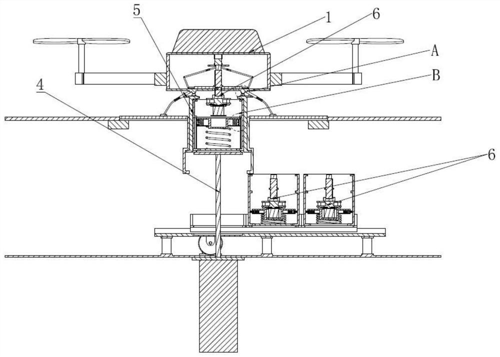
[0038] like Figure 1-10 As shown, the present invention provides a crop yield estimation system using UAV remote sensing technology, including a UAV 1 and a control center, the UAV 1 is mounted with a data acquisition module 6, and the control center includes data The storage module, the production estimation analysis module and the data preprocessing module are characterized in that: it also includes a UAV take-off and landing platform 2, and the UAV take-off and landing platform 2 includes a collection equipment replacement module, and the collection equipment replacement module includes a Describe the replacement chamber in the un...
PUM
 Abstract
Description
Claims
Application Information
 - R&D
- Intellectual Property
- Life Sciences
- Materials
- Tech Scout
- Unparalleled Data Quality
- Higher Quality Content
- 60% Fewer Hallucinations
Browse by: Latest US Patents, China's latest patents, Technical Efficacy Thesaurus, Application Domain, Technology Topic, Popular Technical Reports.
© 2025 PatSnap. All rights reserved.Legal|Privacy policy|Modern Slavery Act Transparency Statement|Sitemap|About US| Contact US: help@patsnap.com


