Map editing device and method suitable for unmanned transportation system of surface mine and updating system

A map editing and transportation system technology, which is applied in the direction of measuring devices, instruments, surveying and navigation, etc., can solve problems such as limited road width, complex terrain in mining areas, and poor road surface smoothness, so as to improve editing efficiency and ensure operation continuity and driving safety, avoiding the effect of updating

Active Publication Date: 2022-01-14
JIANGSU XCMG CONSTR MASCH RES INST LTD
View PDF13 Cites 2 Cited by
  • Summary
  • Abstract
  • Description
  • Claims
  • Application Information

AI Technical Summary

Problems solved by technology

[0003] However, the terrain in the mining area is complex, the road width is limited, the road surface is not high, and various road types are mixed. The road sections that skilled transport drivers can control have no way to go for unmanned vehicles that rely entirely on path planning algorithms. , and the loading / unloading areas and transportation roads change frequently with the advancement of production operations. The characteristics of this scene put forward higher requirements for the real-time performance of the map
In addition, the main service object of mine maps is no longer human drivers, but unmanned driving systems. Conventional vector road network editing and synchronization methods cannot quickly respond to the needs of unmanned driving in mining areas for maps.
[0004] The traditional method of editing graphic components of electronic maps cannot meet the needs of mine unmanned transportation systems for high-precision maps (accurate docking and accurate tracking of unmanned mining trucks), high response (timely update of maps to unmanned mining trucks), and high semantics. (such as road edge, drivable trajectory, etc.), not applicable to unmanned transportation scenarios in open-pit mines

Method used


Image

  • Map editing device and method suitable for unmanned transportation system of surface mine and updating system
  • Map editing device and method suitable for unmanned transportation system of surface mine and updating system
  • Map editing device and method suitable for unmanned transportation system of surface mine and updating system

Examples


Embodiment Construction

[0064] The present invention will be further described below in conjunction with specific embodiments. The following examples are only used to illustrate the technical solution of the present invention more clearly, but not to limit the protection scope of the present invention.

[0065] As mentioned above, the existing map editing methods are not suitable for unmanned transportation scenarios in open-pit mines, and cannot meet the requirements of high-precision, high-response, and high-semantic maps for unmanned transportation systems in mines.

[0066] Therefore, in an embodiment, the present invention provides a map editing device suitable for an unmanned transportation system in an open-pit mine.

[0067] The device is suitable for open-pit mine environment. Open-pit mine production operation scenarios mainly include two categories:

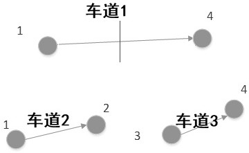
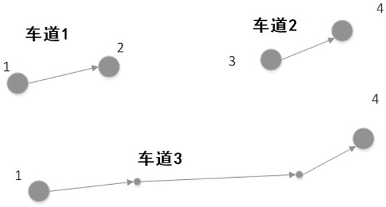
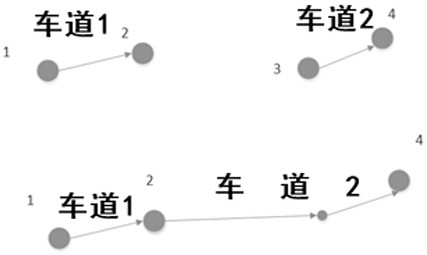
[0068] One is the drivable area, which is relatively structured, including drivable roads (that is, lanes), nodes (including starting poin...


PUM


Abstract

The invention provides a map editing device and method suitable for a surface mine unmanned transportation system and an updating system and belongs to the technical field of surface mine unmanned driving. The method comprises steps of performing fine-grained division on the working plane area through a polygon cutting controller, or performing integration adjustment on the working plane area through a polygon merging controller; segmenting the to-be-edited lane through a lane segmentation controller; two to-be-edited lanes being selected through a lane splicing controller to be combined; splicing the two lanes to be edited through a lane splicing controller; a to-be-edited lane being extended through a lane extension controller. Compared with a traditional vector map, the method is suitable for a specific scene of the surface mine, semantic information is integrated for a relatively structured drivable area and an unstructured working face area, a rich editing method is provided, and a user can conveniently create, maintain and update a complex environment map of the surface mine.

Description

technical field [0001] The invention relates to a map editing device and method suitable for an open-pit mine unmanned transportation system, and belongs to the technical field of open-pit mine unmanned driving. Background technique [0002] Open-pit mines are generally located in remote locations with harsh environments, and transport drivers in most mining areas suffer from serious occupational diseases and are aging significantly. In addition, the mining area has high labor intensity, long working hours, rough and bumpy roads, and it is difficult to guarantee the safety of the work. Mining areas are under increasing pressure in terms of production safety and labor costs. Therefore, more and more unmanned transportation solutions for closed mine scenarios are being put into current mine operation management. [0003] However, the terrain in the mining area is complex, the road width is limited, the road surface is not high, and various road types are mixed. The road secti...

Claims


Application Information

Patent Timeline
Patent Type & Authority Applications(China)
IPC IPC(8): G01C21/00
CPCG01C21/3815G01C21/387G01C21/3896Y02D10/00
Inventor 杨超艾云峰周长成王飞跃
Owner JIANGSU XCMG CONSTR MASCH RES INST LTD
Why Eureka
Try Eureka