

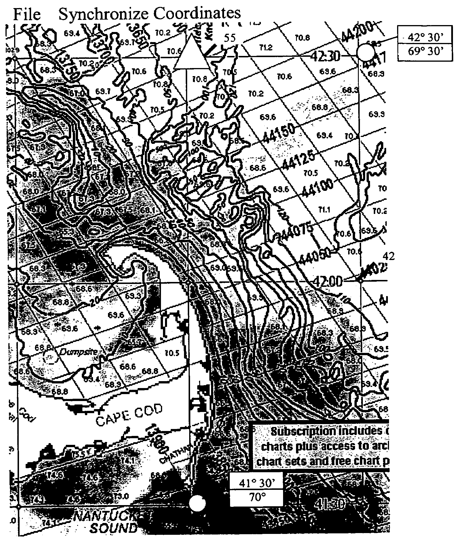
Navigational aid system for fishermen
a navigation aid and fisherman technology, applied in the field of navigation aid systems, can solve the problems of inability to reliably match the parameters of the information obtained by using the map, the special resolution of the map, and the inability to properly place the latitude and longitude, etc., to achieve the effect of facilitating fish finding, increasing the chances of a safe and successful catch, and magnifying the displayed area
- Summary
- Abstract
- Description
- Claims
- Application Information
AI Technical Summary
Benefits of technology
Problems solved by technology
Method used
Image

Examples
Embodiment Construction
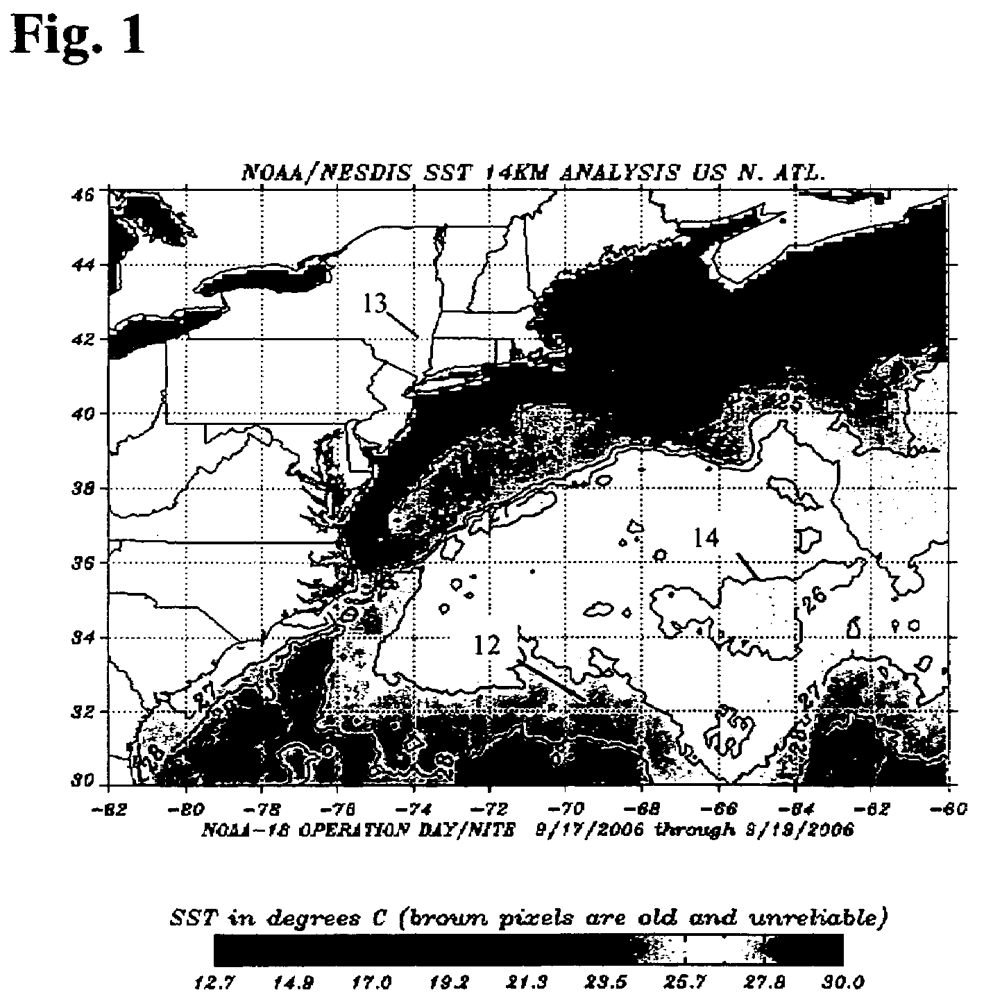
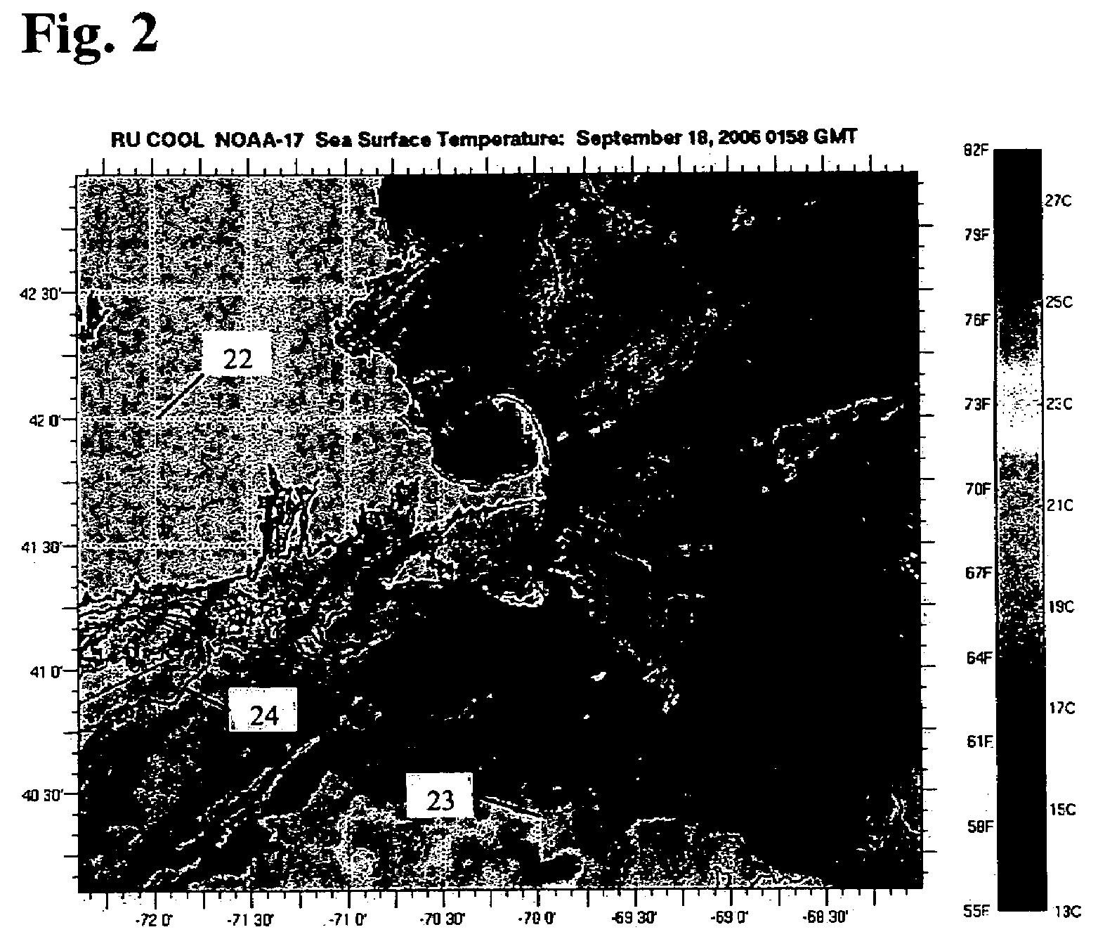
[0018]The present invention uses publicly available information comprising ocean surface temperatures provided by multiple passes of a NASA satellite. The multi pass information is computer correlated by NOAA to provide a false color temperature profile map or corresponding temperature contour lines. The information is available to the public as large binary data corresponding to each pass of the NASA satellite that measures output from the ocean surface at different wavelengths. Such information is used to generate the surface temperature profiles. These satellites rotate in an orbit that is over 500 miles high. Consequently, the visibility of the ocean surface can be reduced or prevented by a number of factors, including cloud cover. When cloud cover is present, these NOAA website at http: / / www.osdpd.noaa.gov / PSB / EPS / SST / contour.html or Rutgers university website at http: / / marine.rutgers.edu / cool / sat_data / ?product=sst¬humbs=1 present a white region indicating out of range data ...
PUM
 Abstract
Description
Claims
Application Information