
System and method for a global digital elevation model

a global digital elevation model and elevation model technology, applied in the field of digital elevation models, can solve the problems of large errors in the srtm, data to systematically underpredict the exposure of the population to coastal flooding by as much as 60%, and less informed mitigation and adaptation policy decisions

Pending Publication Date: 2020-01-16
CLIMATE CENT
View PDF0 Cites 3 Cited by
  • Summary
  • Abstract
  • Description
  • Claims
  • Application Information

AI Technical Summary

Benefits of technology

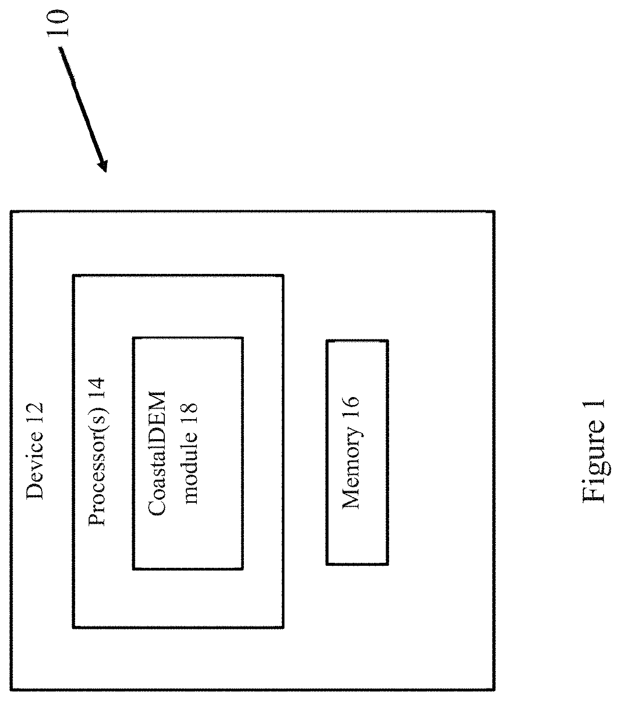
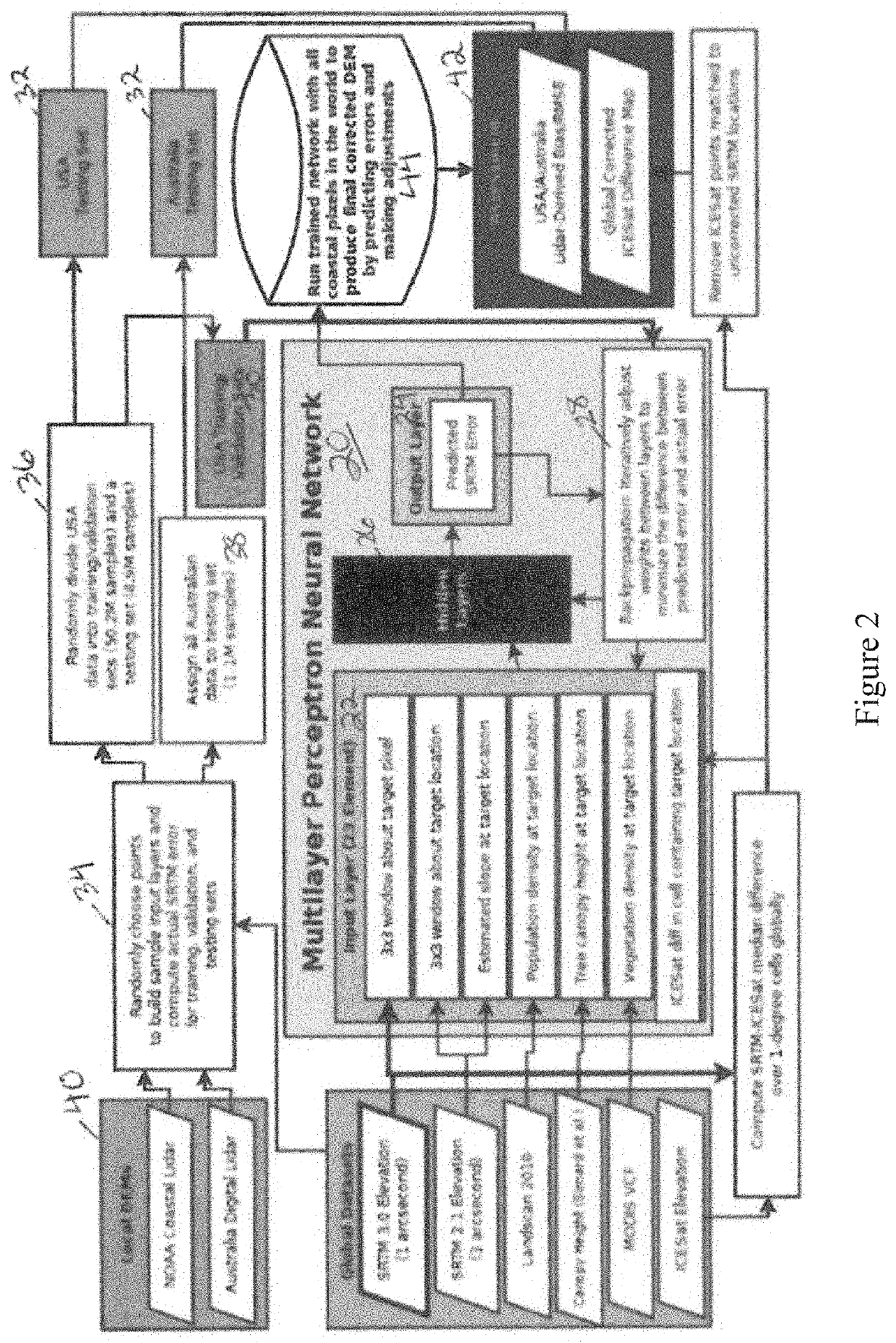
The patent describes a neural network that can analyze data related to a target pixel, including information about the target location, slope, population density, tree canopy height, vegetation density, and an ice, cloud, and land satellite (ICESat) differential map. The network can then predict the vertical error based on this data. The technical effect of this invention is to provide a more accurate and efficient method for analyzing and predicting vertical errors in a variety of applications.

Problems solved by technology

However, SRTM is known to contain large errors with a positive bias, in part due to vegetation and urban development.
These errors cause SRTM data to systematically underpredict population exposure to coastal flooding by as much as 60%, depending on the water height.
Gross underestimation in such risk assessments make mitigation and adaptation policy decisions more difficult and less informed.
However, these approaches apply mostly to regions of high vegetation density, where population densities are likely low, and should therefore be less useful in coastal population exposure assessments, where built structures influence SRTM values.
However, the curse of dimensionality, together with highly nonlinear relationships between variables, limits the practicality of traditional parametric regression techniques as more variables are added.

Method used


Image

  • System and method for a global digital elevation model
  • System and method for a global digital elevation model
  • System and method for a global digital elevation model

Examples


Embodiment Construction

[0020]Positive vertical bias in elevation data derived from NASA's Shuttle Radar Topography Mission (SRTM) is known to cause substantial underestimation of coastal flood risks and exposure. Previous attempts to correct SRTM elevations have used regression to predict vertical error from a small number of auxiliary data products, but these efforts have been focused on reducing error introduced solely by vegetative land cover.

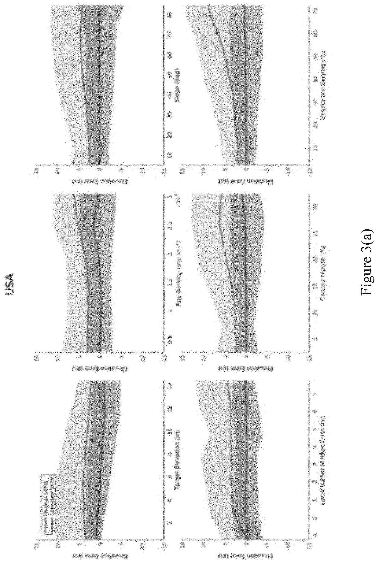
[0021]As such, generally disclosed herein is a multilayer perceptron artificial neural network to perform a 23-dimensional vertical error regression analyses, where in addition to vegetation cover indices, additional variables are used including neighborhood elevation values, population density, land slope, and local SRTM deviations from ICESat altitude observations. Using lidar data as ground truth, the neural network is trained on samples of US data from 1-20 m of elevation according to SRTM, and outputs are assessed with extensive testing sets in the US and Aus...


PUM


Abstract

According to various embodiments, a neural network for performing vertical error regression analysis is disclosed. The neural network includes an input layer including input data related to a target pixel, a target location, a slope at the target location, population density at the target location, tree canopy height at the target location, vegetation density at the target location, and an Ice, Cloud, and Land Satellite (ICESat) differential map at the target location. The neural network further includes a plurality of hidden layers connected to the input layer, where the plurality of hidden layers is configured to iteratively analyze the input data. The neural network also includes an output layer connected to the plurality of hidden layers, where the output layer is configured to output a predicted vertical error based on the analysis of the input data.

Description

CROSS-REFERENCE TO RELATED APPLICATIONS[0001]This application claims priority to provisional applications 62 / 696,482, filed Jul. 11, 2018, which is herein incorporated by reference in its entirety.FIELD OF THE INVENTION[0002]The present invention relates generally to digital elevation models and, more particularly, to coastal digital elevation models improved by neural networks.BACKGROUND OF THE INVENTION[0003]Accurate elevation data is crucial in assessing the risks of sea level rise, coastal flooding, and tsunamis to coastal nations and communities for humanitarian, insurance, city planning and many other purposes. While high-quality lidar-derived digital elevation models (DEMs) are freely available in a small number of countries, such as the United States, most non-US and global flood exposure analyses depend on lower-accuracy DEMs, such as NASA's Shuttle Radar Topography Mission (SRTM). However, SRTM is known to contain large errors with a positive bias, in part due to vegetatio...

Claims


Application Information

Patent Timeline
Patent Type & Authority Applications(United States)
IPC IPC(8): G06N3/08G06N3/04
CPCG06N3/08G06N3/04G06N3/084G01S13/89G01S7/417G06N7/08
Inventor KULP, SCOTT A.STRAUSS, BENJAMIN H.
Owner CLIMATE CENT
Learn More