

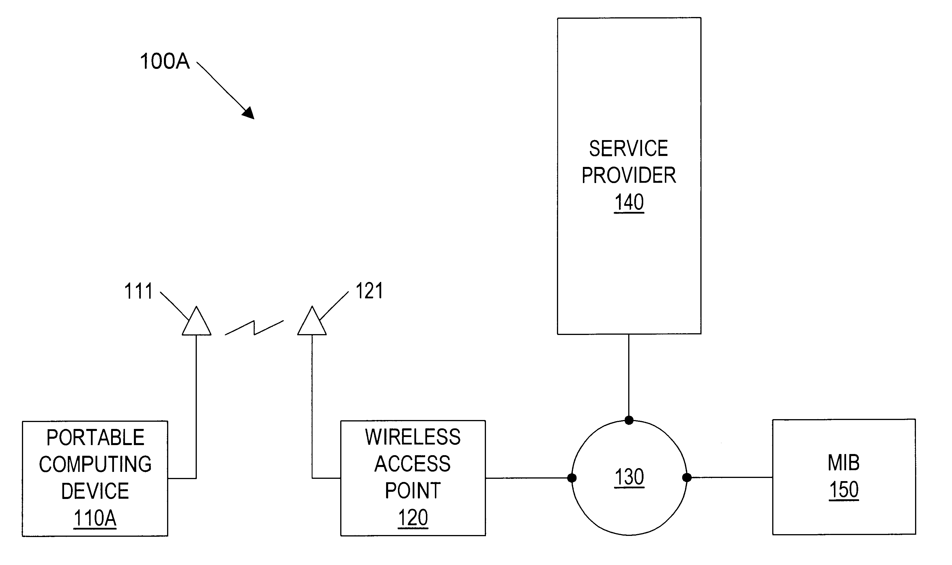
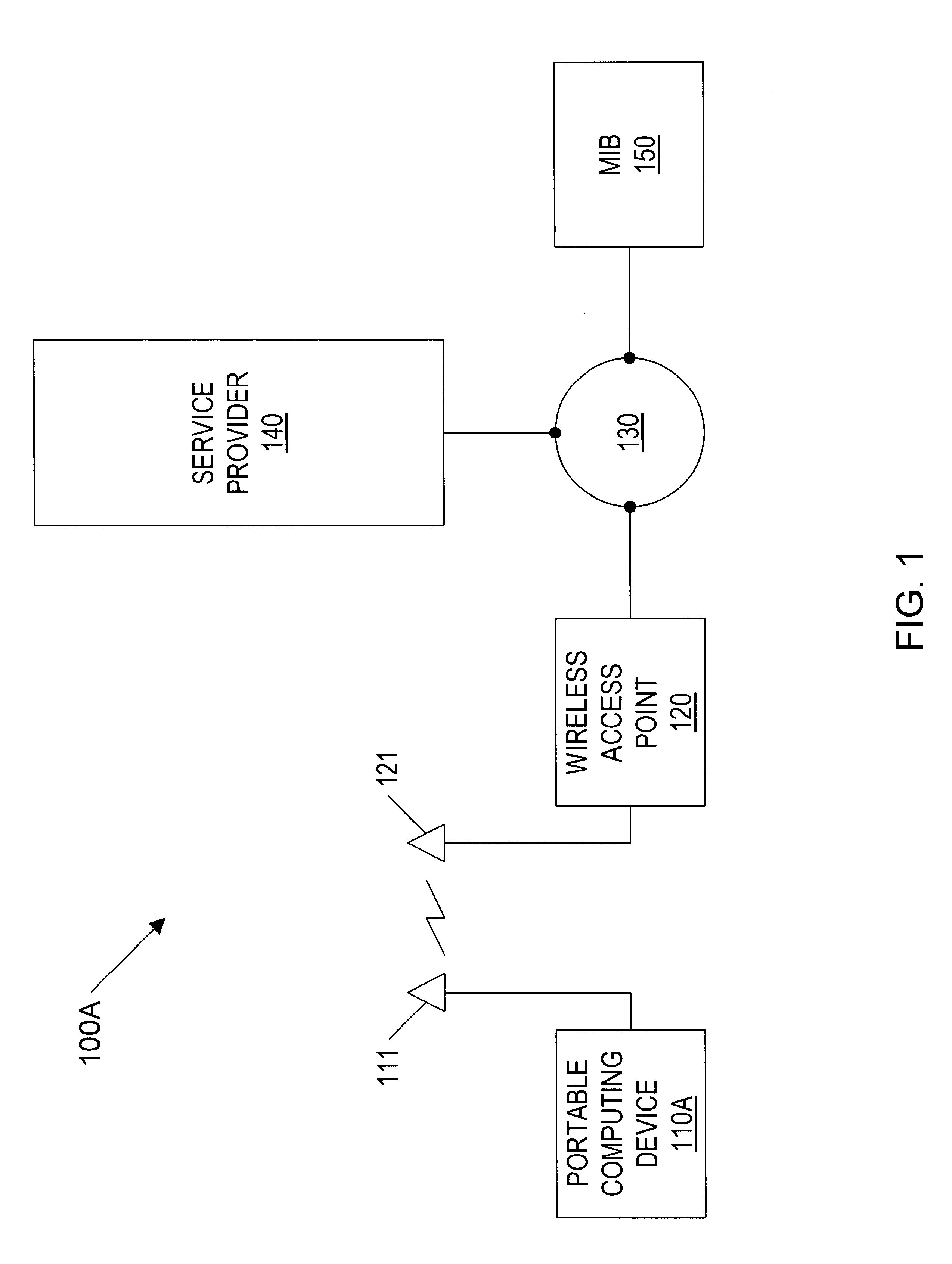
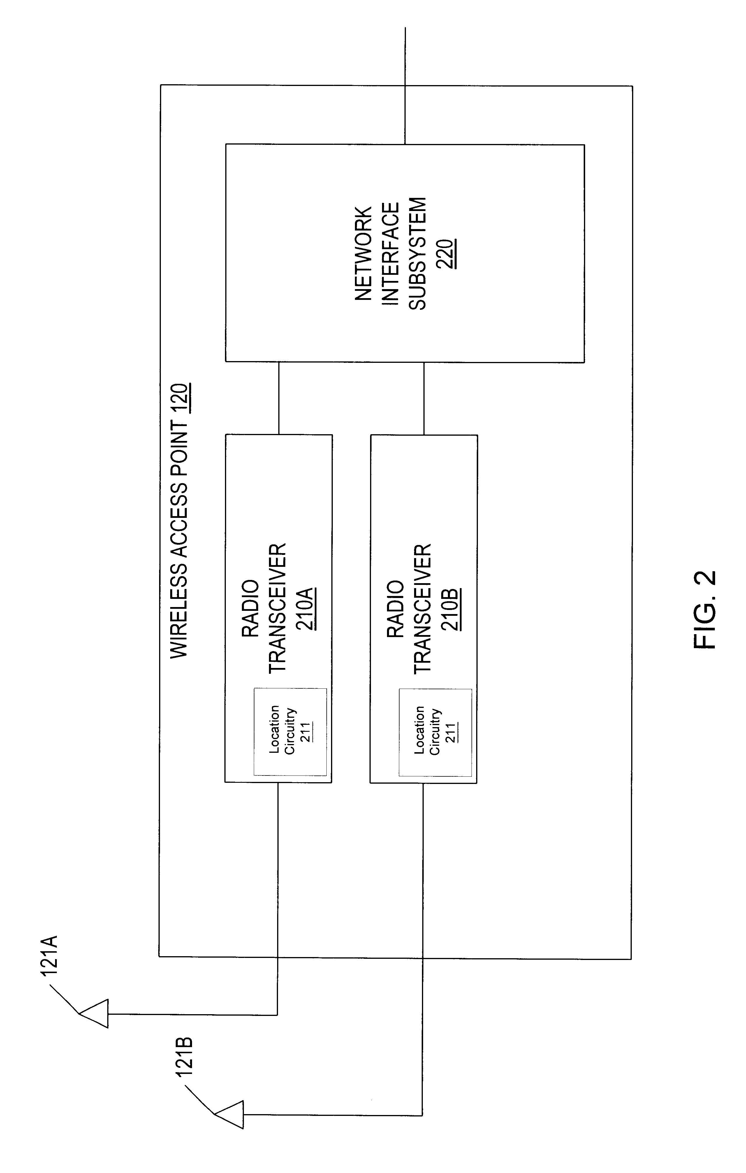
Geographic-based communication service system with more precise determination of a user's known geographic location
a geographic location and communication service technology, applied in direction finders using radio waves, instruments, reradiation, etc., can solve the problems of traveler waiting in line for a long time, hard-wired links may not be readily available or practical, and conventional communication systems for computing devices are not equipped to handle such communication scenarios
- Summary
- Abstract
- Description
- Claims
- Application Information
AI Technical Summary
Problems solved by technology
Method used
Image

Examples
Embodiment Construction
Incorporation by Reference
The following documents are herein incorporated by reference in their entirety as though fully and completely set forth herein:
U.S. Pat. No. 5,835,061 entitled "Method and Apparatus for Geographic-Based Communications Service", whose inventor is Brett B. Stewart, is hereby incorporated by reference in its entirety as though fully and completely set forth herein.
U.S. Pat. No. 5,969,678 entitled "System for Hybrid Wired and Wireless Geographic-Based Communications Service", whose inventor is Brett B. Stewart, is hereby incorporated by reference in its entirety as though fully and completely set forth herein.
U.S. patent application Ser. No. 09 / 433,817 entitled "Geographic Based Communications Service", whose inventors are Brett B. Stewart and James Thompson, is hereby incorporated by reference in its entirety as though fully and completely set forth herein.
U.S. patent application Ser. No. 09 / 433,818 entitled "A Network Communication Service with an Improved Su...
PUM
 Abstract
Description
Claims
Application Information