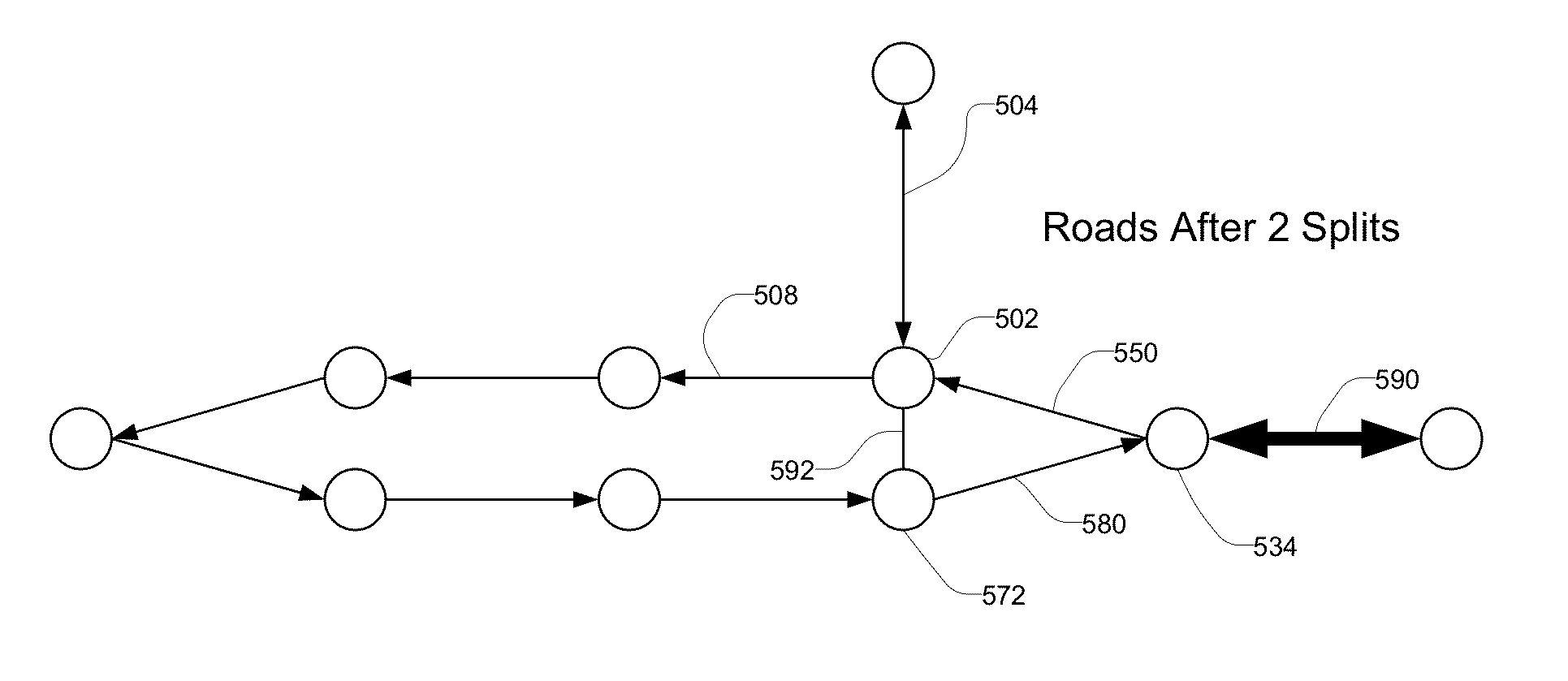
Road splitting in a map editor
a map editor and map technology, applied in the field of map editing, can solve the problems of inaccurate and out-of-date data, inconvenient use of a real map format, and difficulty in creating a digital map, so as to reduce the time needed to process raw map data and increase the accuracy of the map
- Summary
- Abstract
- Description
- Claims
- Application Information
AI Technical Summary
Benefits of technology
Problems solved by technology
Method used
Image

Examples
Embodiment Construction
System Overview
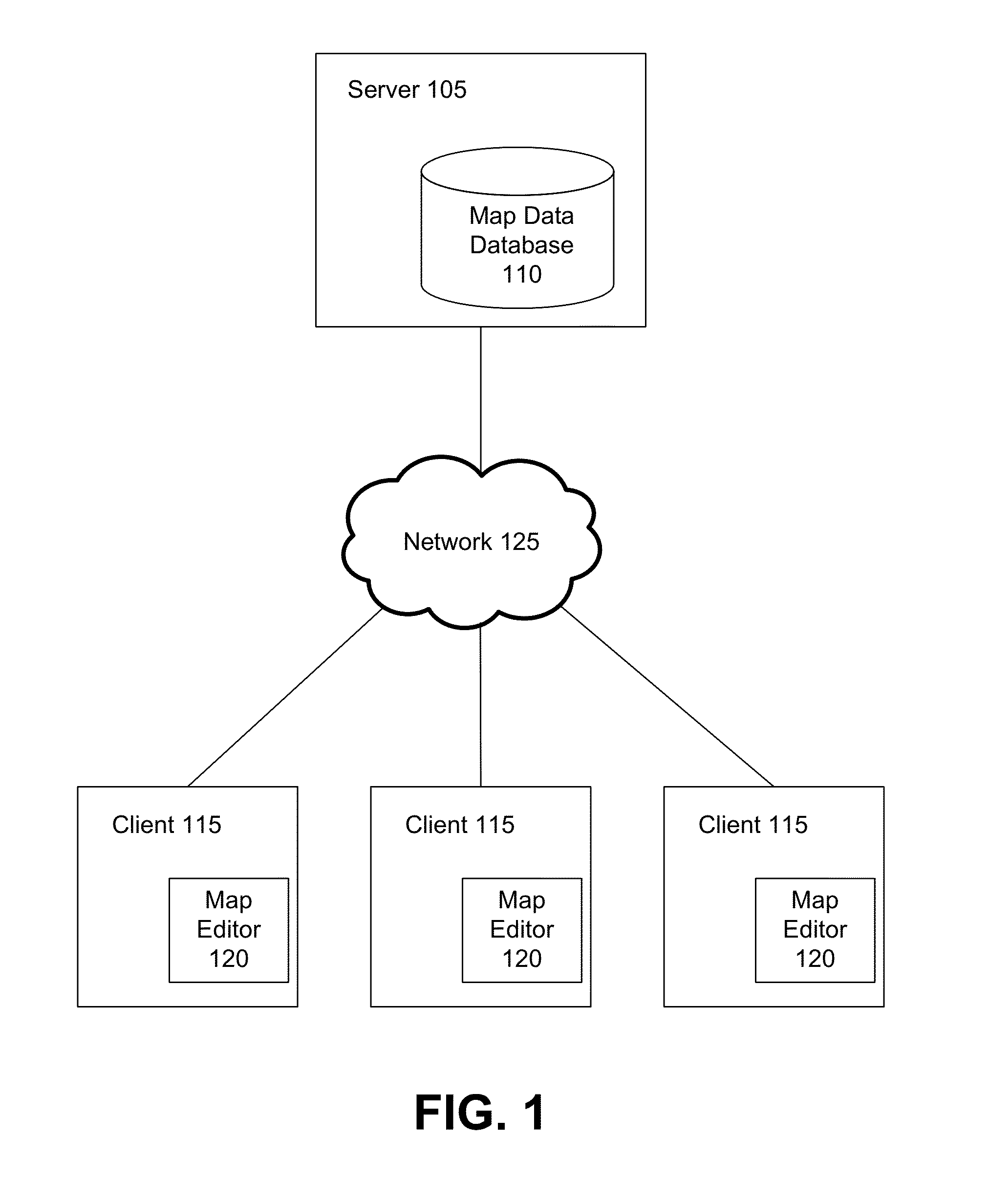
[0016]FIG. 1 is a high-level block diagram that illustrates a computing environment for a map editor, according to one embodiment of the present disclosure. A shown in FIG. 1, the computing environment includes a server 105 connected to a number of client computers 115 through network 125. The network includes but is not limited to any combination of a LAN, MAN, WAN, mobile, wired or wireless network, a private network, or a virtual private network. While only three clients are shown to simplify and clarify the description, it is understood that very large numbers of client computers are supported and can be in communication with the server 105.
[0017]Both the server 105 and the clients 115 are computers that comprise a CPU, memory, network interface, peripheral interfaces, and other well known components. As is known to one skilled in the art, other types of computers can be used which have different architectures. The server 105 and the client 115 are also adapted to...
PUM
 Abstract
Description
Claims
Application Information
 - R&D
- Intellectual Property
- Life Sciences
- Materials
- Tech Scout
- Unparalleled Data Quality
- Higher Quality Content
- 60% Fewer Hallucinations
Browse by: Latest US Patents, China's latest patents, Technical Efficacy Thesaurus, Application Domain, Technology Topic, Popular Technical Reports.
© 2025 PatSnap. All rights reserved.Legal|Privacy policy|Modern Slavery Act Transparency Statement|Sitemap|About US| Contact US: help@patsnap.com