Method for extracting profile of building from satellite remote sensing image

A technology for satellite remote sensing images and buildings, applied in image analysis, photo interpretation, image data processing, etc., can solve problems such as difficult distinctions, achieve high processing efficiency, reduce workload, and have strong practicability

Inactive Publication Date: 2010-09-22
BEIJING JIAOTONG UNIV
View PDF0 Cites 28 Cited by
  • Summary
  • Abstract
  • Description
  • Claims
  • Application Information

AI Technical Summary

Problems solved by technology

Furthermore, it is difficult to distinguish the impervious ground wi

Method used


Image

  • Method for extracting profile of building from satellite remote sensing image
  • Method for extracting profile of building from satellite remote sensing image
  • Method for extracting profile of building from satellite remote sensing image

Examples


Embodiment Construction

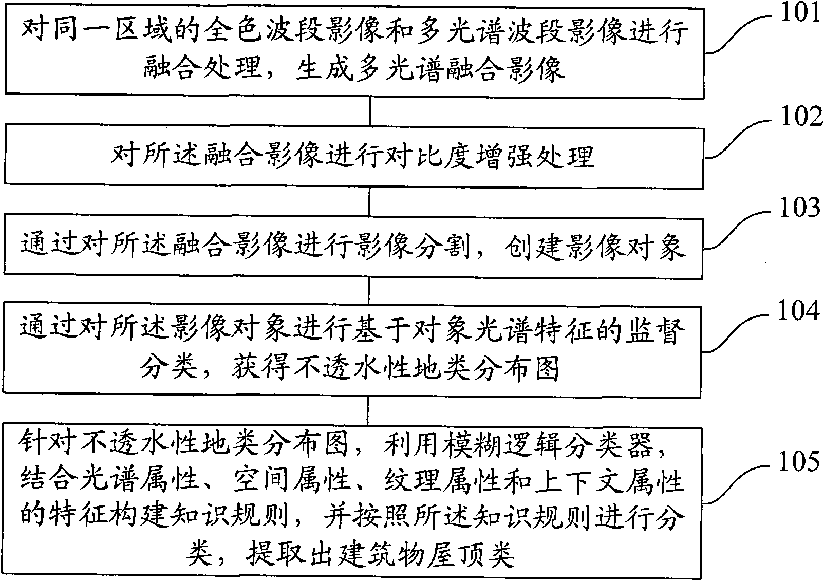
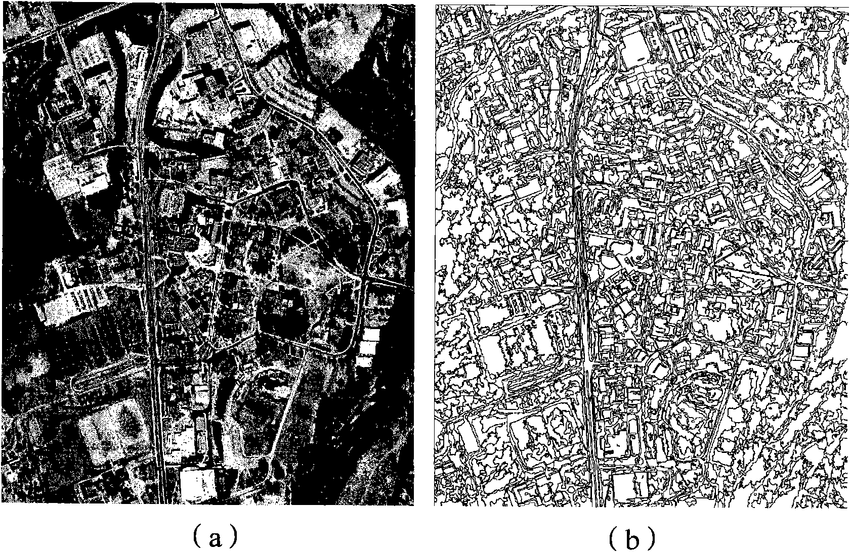
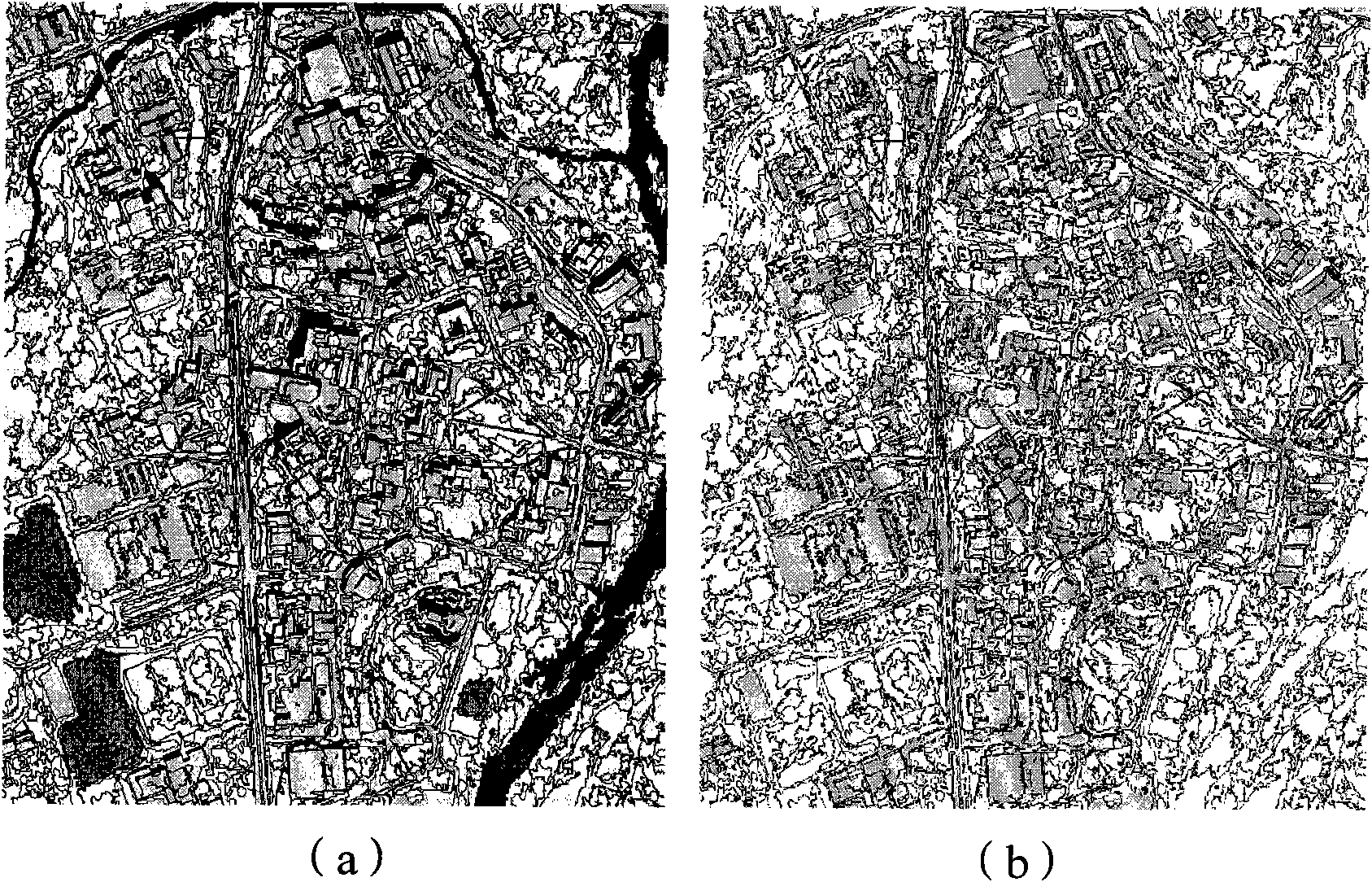
[0056] In order to make the above objects, features and advantages of the present invention more comprehensible, the present invention will be further described in detail below in conjunction with the accompanying drawings and specific embodiments.

[0057] The method of the present invention belongs to the field of surveying and mapping, digital remote sensing image processing, photogrammetry and remote sensing technology object information extraction and application. Therefore, before the specific implementation is illustrated, it is considered that the implementer has the necessary technical field to understand the method of the present invention Basic knowledge and skills related to technical theory and related processing procedures and algorithms, such as remote sensing technology and application, surveying and mapping, digital image processing, fuzzy mathematics, etc. In particular, basic knowledge of object-oriented image analysis should be possessed. Based on the above ...


PUM


Abstract

The invention provides a method for extracting the profile of a building from a satellite remote sensing image, which comprises the following steps of: integrating the full-color wave band image and the multi-spectrum wave band image of the same area and generating a multi-spectrum integrated image; carrying out contrast enhancement processing on the integrated image; carrying out image division on the integrated image and constructing an image object; carrying out supervised classification on the image object based on the spectral characteristic to obtain a waterproof land type distribution map; and constructing a knowledge rule aiming at the waterproof geographic distribution map by utilizing a fuzzy logic classifier and combining the characteristics of the spectrum attribute, the space attribute, the texture attribute and the context attribute, classifying according to the knowledge rule and extracting the roof type of the building. The invention can realize the extraction of the profile of the building aiming at an irregular or complicated city proper scene, does not need auxiliary data and does not need to subdivide other waterproof land types except for the roof type in classification, the processing procedure has practicability and flexibility, and the extraction accuracy is high.

Description

technical field [0001] The invention relates to the technical fields of surveying and mapping, digital remote sensing image processing, photogrammetry and remote sensing technology, object information extraction, and in particular to a method for extracting urban building outlines from satellite remote sensing images. Background technique [0002] In the prior art, detailed urban building distribution maps are mainly obtained through aerial photogrammetry or artificial ground measurement, and this conventional acquisition method requires high data costs. In recent years, the emergence of relatively cheap meter-level and better-than-meter-level commercial high-resolution multispectral satellite images (such as IKONOS and QuickBird) is expected to change the situation that aerial remote sensing images must be used for urban mapping. On high-resolution satellite remote sensing images, building roofs are the main features of urban building mapping, and the outline shape of groun...

Claims


Application Information

Patent Timeline
IPC IPC(8): G06T7/60G01C11/04
Inventor 谭衢霖魏庆朝杨松林胡吉平
Owner BEIJING JIAOTONG UNIV
Why Eureka
Try Eureka