

Object-oriented remote sensing image coastline extraction method
A remote sensing image, object-oriented technology used in instruments, character and pattern recognition, computer parts, etc.
- Summary
- Abstract
- Description
- Claims
- Application Information
AI Technical Summary
Problems solved by technology
Method used
Image

Examples
Embodiment Construction
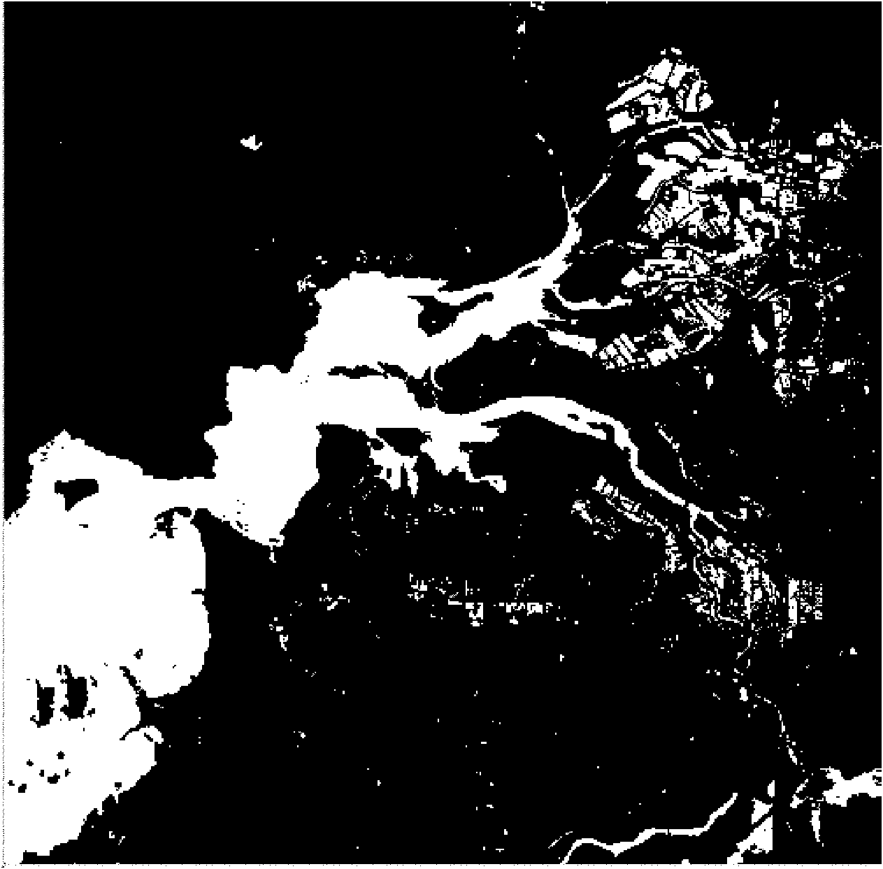
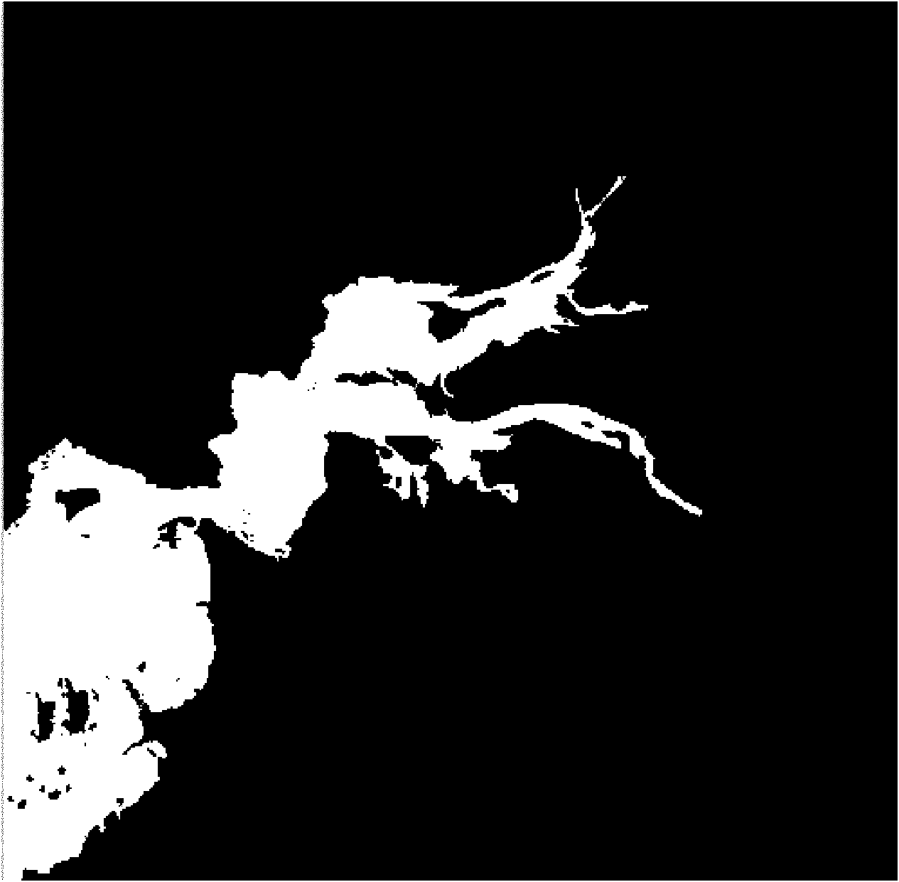
[0039] Attached figure 1 The remote sensing image shown is the coastline image to be extracted. The image size is 500 rows and 500 columns. The imaging time is July 6, 2007. The imaging sensor is Landsat TM, the spatial resolution is 30 meters, and there are 6 bands in total. The 6 steps of this method are implemented under the platform of Visual C++6.0 by using C++ programming language, and the read and write operations of remote sensing image data are realized by GDAL 1.60, an open-source geographic data format conversion class library.
[0040] Step 1: Use GDAL as the image data reading and writing tool, use the GDAL.Open method to read the image DN value to a one-dimensional integer array with a size of 1,500,000, and obtain each pixel in sequence according to the given template size parameter radius=3 The point is the center, and the DN value of each band of all pixels in the area with a side length of 3 pixels is calculated, and the absolute value of the difference betwe...
PUM
 Abstract
Description
Claims
Application Information