Manifold learning-based method for monitoring water quality by remote sensing
A technology of water quality monitoring and manifold learning, applied in the direction of color/spectral characteristic measurement, instrument, scene recognition, etc., can solve the problems of reducing the reliability of water quality evaluation results, not revealing the essential laws of multispectral remote sensing image data, etc.
- Summary
- Abstract
- Description
- Claims
- Application Information
AI Technical Summary
Problems solved by technology
Method used
Image
Examples
Embodiment 1
[0085] refer to figure 1 , a remote sensing water quality monitoring method based on manifold learning, including the following steps:
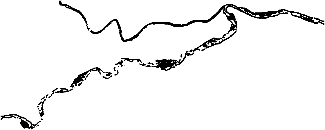
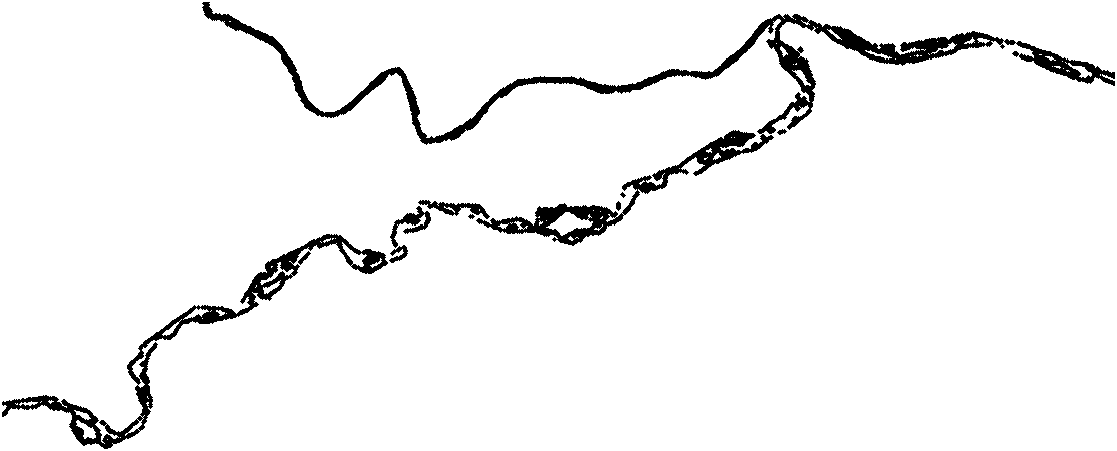
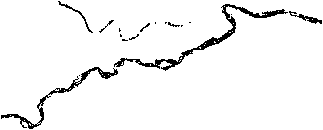
[0086] (1) Read the remote sensing image data into the computer, and extract the rectangular range containing the water body;
[0087] (2) Use the mask matrix to mask each band of the remote sensing image, and remove the background information from the image to generate remote sensing data that only includes the entire water body;
[0088] (3) Obtain the water quality remote sensing data of each monitoring point and the corresponding field monitoring data of water quality parameters, select the water quality remote sensing data of some monitoring points as samples, and calculate the Euclidean distance between the sample points;
[0089] (4) According to the distance of the Euclidean distance between the sample points, the neighbor weight matrix and the non-neighbor weight matrix are constructed;
[0090] (5) Utilize the neighbor weight matr...
Embodiment 2
[0137] The method of the invention is used to monitor the water quality of the water quality remote sensing image data of the Shaanxi section of the Weihe River in 2006. In 2006, the water quality remote sensing images of the Shaanxi section of the Weihe River had 4 bands, with a total of 3451×3654 data. The [1260:2100, 400:2300] range was selected to include all monitoring points, including Gengzhen and Chengyang, with a total of 841×1901 data, including 60,944 water body data. At the same time, a total of 13 sets of water quality remote sensing data and corresponding field monitoring data were obtained from some monitoring points in the Shaanxi section of the Weihe River from 2000 to 2006. The data are distributed in 9 monitoring sections in the Shaanxi section of the Weihe River. The water quality parameter indicators include the permanganate index of each monitoring point (COD mn ), etc. Since the pollution in the Shaanxi section of the Weihe River is mainly organic matte...
PUM
 Abstract
Description
Claims
Application Information
 - R&D
- Intellectual Property
- Life Sciences
- Materials
- Tech Scout
- Unparalleled Data Quality
- Higher Quality Content
- 60% Fewer Hallucinations
Browse by: Latest US Patents, China's latest patents, Technical Efficacy Thesaurus, Application Domain, Technology Topic, Popular Technical Reports.
© 2025 PatSnap. All rights reserved.Legal|Privacy policy|Modern Slavery Act Transparency Statement|Sitemap|About US| Contact US: help@patsnap.com


