Method for unifying existing longitude and latitude subdividing grids

A technology for dividing grid, longitude and latitude, which is applied in the field of unifying existing longitude and latitude grids, and can solve the problems of spatial data resource sharing, interoperability and smooth migration, etc.

Inactive Publication Date: 2012-07-25
PEKING UNIV
View PDF4 Cites 52 Cited by
  • Summary
  • Abstract
  • Description
  • Claims
  • Application Information

AI Technical Summary

Problems solved by technology

It is precisely because of the numerous and independent geographical grids that cut out data bodies of vari

Method used


Image

  • Method for unifying existing longitude and latitude subdividing grids
  • Method for unifying existing longitude and latitude subdividing grids
  • Method for unifying existing longitude and latitude subdividing grids

Examples


Embodiment Construction

[0023] In order to make the object, technical solution and advantages of the present invention more clear, the implementation method of the present invention will be described in detail below in conjunction with the accompanying drawings.

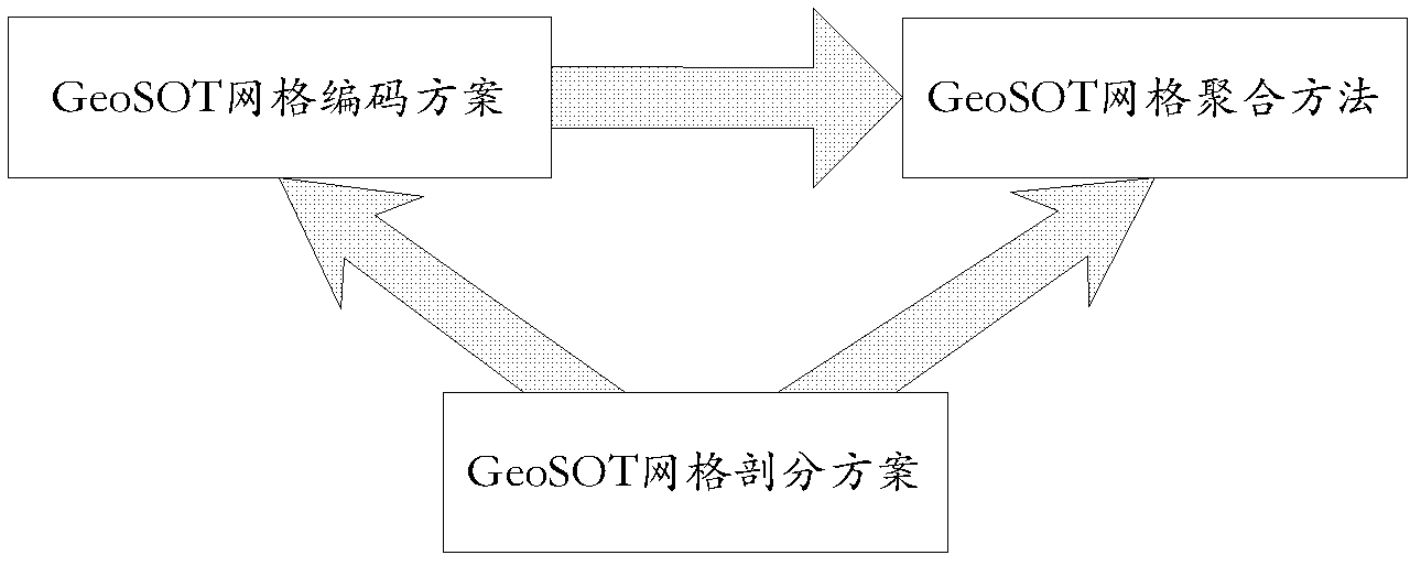
[0024] The present invention "a method for unifying the existing longitude and latitude grid subdivision" mainly includes: GeoSOT grid subdivision step 1; GeoSOT grid coding step 2; GeoSOT grid aggregation step 3.

[0025] Step 1: Subdividing the Earth's surface into a GeoSOT grid

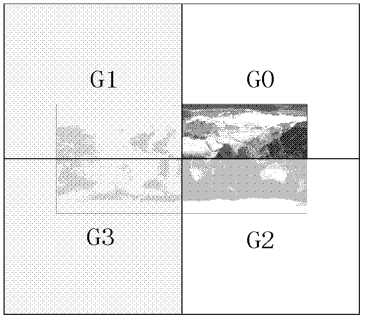
[0026] GeoSOT meshing is defined based on latitude and longitude coordinate spaces. The origin of the latitude-longitude coordinate space is the intersection of the prime meridian and the equator. There are two main points in the subdivision method: first, the recursive subdivision of the full quadtree is used; second, the grid code maintains the integer "degree, minute, second" dimension. To this end, we expanded the latitude and longitude coordinate space th...


PUM


Abstract

The invention discloses a method for subdividing and polymerizing geographic grids based on longitude and latitude, comprising the steps of: 1, subdividing space of the earth surface according to a GeoSOT (geographical coordinates subdividing grid with one dimension integral coding on 2<n>-tree ) grid subdivision manner; 2, giving unique codes to GeoSOT grid facets obtained via the subdivision, wherein the codes of the grid facets keep integral dimensions such as degree, minute and second and can adopt four code forms such as a quaternary one-dimensional code form, a binary one-dimensional code form, a binary two-dimensional code form and a decimal two-dimensional code form; and 3, selecting a specific layer in the GeoSOT grids as a basic tuple, aggregating to form any one geographic grid subdivided on the basis of longitude and latitude, and automatically giving globally unique codes to facets of the aggregated grid. The aggregated grid has uniform subdivision basic tuples, so that the integration organization problem of global space information can be solved hopefully.

Description

technical field [0001] The present invention relates to the technical fields of geospatial information organization, geographic information system, remote sensing, and surveying and mapping, and specifically relates to a method of properly expanding the geodetic coordinate system, and then realizing the recursive subdivision of the full quadtree on the premise of maintaining the integer latitude and longitude dimension. Using this subdivision grid as the basic grid is used to unify the existing latitude and longitude subdivision grid method. Background technique [0002] At present, with the continuous enrichment of earth observation methods, the continuous improvement of spatial information acquisition capabilities, and the diversification of application methods, traditional geographic information system (GIS) technology is facing technical bottlenecks in three aspects: First, massive, multi-dimensional and multi-dimensional Unified management and efficient retrieval of sca...

Claims


Application Information

Patent Timeline
IPC IPC(8): G06F17/30
Inventor 程承旗郑承迅
Owner PEKING UNIV
Why Eureka
Try Eureka