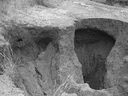
Method for accurately calculating morphology change of gully head and gully wall of gully with washing hole
A technology of accurate calculation and shape change, applied in calculation, special data processing applications, instruments, etc., can solve problems such as errors, errors, and differences in soil erosion processes
- Summary
- Abstract
- Description
- Claims
- Application Information
AI Technical Summary
Problems solved by technology
Method used
Image
Examples
Embodiment Construction
[0023] A method for accurately calculating the shape change of gully ditch head and ditch wall with water-washed dimples, the specific steps are as follows:
[0024] Step 1. Import and crop the original data
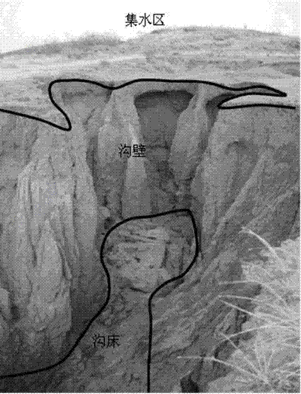
[0025] Import the gully terrain grid data (text format) measured by the 3D scanner into ArcGIS, set a reasonable coordinate projection system, and then cut the gully terrain data according to the catchment area, ditch wall and ditch bed boundary. Then export the cropped terrain data as a .dbf file, which can be opened in Excel format.
[0026] Step 2. Rotation of the spatial coordinate data of the trench head and trench wall
[0027] The topographic data of the ditch head and ditch wall of the vertical gully with water-washed dimples are very different in the corresponding altitude values under similar or the same coordinates (X, Y). In addition, the topographic change of the ditch wall is not reflected in the change in altitude (Z), but mainly in the retreat of the ...
PUM
 Abstract
Description
Claims
Application Information
 - R&D
- Intellectual Property
- Life Sciences
- Materials
- Tech Scout
- Unparalleled Data Quality
- Higher Quality Content
- 60% Fewer Hallucinations
Browse by: Latest US Patents, China's latest patents, Technical Efficacy Thesaurus, Application Domain, Technology Topic, Popular Technical Reports.
© 2025 PatSnap. All rights reserved.Legal|Privacy policy|Modern Slavery Act Transparency Statement|Sitemap|About US| Contact US: help@patsnap.com


