Ground navigation planning control method of rover

A planning control and patrol technology, applied in three-dimensional position/channel control, etc., can solve the problems of inability to realize real-time control of the Mars rover, low planning efficiency, and low control accuracy, so as to achieve high planning efficiency, reduce calculations, and improve safety Effect

Active Publication Date: 2014-06-18
BEIJING INST OF CONTROL ENG
View PDF4 Cites 77 Cited by
  • Summary
  • Abstract
  • Description
  • Claims
  • Application Information

AI Technical Summary

Problems solved by technology

However, due to the influence of the communication delay between Mars and the Earth, real-time control of the Mars rover cannot be achieved.
[0007] In summary, the existing ground navigation planning control technology for patrol detectors has problems such as low control accuracy, poor real-time performance, and low planning efficiency.

Method used


Image

  • Ground navigation planning control method of rover
  • Ground navigation planning control method of rover
  • Ground navigation planning control method of rover

Examples


Embodiment Construction

[0040] Taking the lunar patrol detector as an example, the specific realization of the ground navigation planning control for the patrol is as follows:

[0041] (1) Sequence image stitching

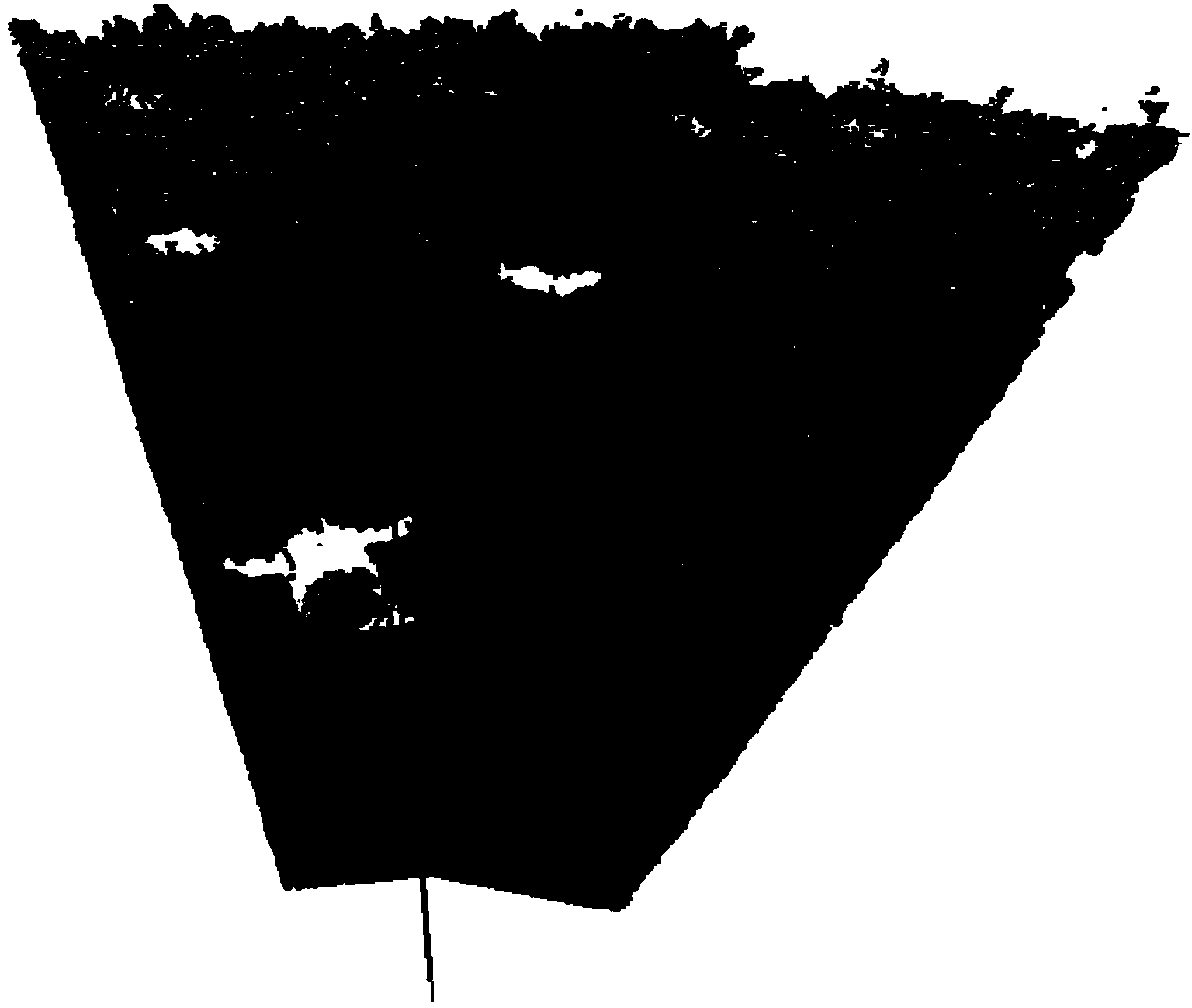
[0042] Let the navigation camera of the patroller perform sequential imaging from the left to the right at an angle interval of 20° from -40° to 40°, and obtain 5 pairs of camera images. Find the corresponding relationship between two adjacent images in the sequence images, and stitch the sequence images into a two-dimensional panoramic image with a wide field of view, such as figure 2 shown;

[0043] (2) Three-dimensional restoration

[0044] Given the target position (6.7,-0.3) controlled by the navigation planning, according to the position of the target, the angle between the target direction and the advancing direction of the patrol is calculated to be about ψ=atan2(-0.3,6.7)=-2.564° , and the third pair of images in the sequence image is taken at 0°, so it can be known that the ...


PUM


Abstract

A ground navigation planning control method of a rover comprises the steps of sequential image splicing, three-dimensional terrain recovery, terrain traversability analysis, path planning and moving strategy generating. By means of the ground navigation planning control method of the rover, ground navigation planning control over the rover is conducted on the basis of a binocular stereoscopic vision system, a plurality of images comprising detection targets can be selected to be processed according to the positions of the detection targets of the rover with combination of practical situations, unnecessary calculation is reduced, and planning efficiency is high; an automatic noise reduction and manual denoising mode is provided so as to process three-dimensional terrain data, environmental perception accuracy is improved, and high-precision navigation planning control over the rover is facilitated; a data fusion mode is provided so as to splice multiple sets of terrain data, the environmental perception range is enlarged, and safety of navigation planning is improved; navigation planning control schemes of terrain traversability analysis, path planning and moving strategy generating provided in the ground navigation planning control method are still suitable for rovers provided with other sensors for environmental perception.

Description

technical field [0001] The invention relates to a ground navigation planning control scheme, which is suitable for the ground navigation planning control of a patrol device on the surface of an alien planet or in a complex and unknown environment. Background technique [0002] For patrols working on planetary surfaces or in complex and unknown environments, the ground navigation planning control is based on the status of the patrols on the ground, using the environmental information collected by the patrols to reconstruct the scene of the detection area, and the ground operators will control the scene. The movement of the patrol device is planned accordingly, the control strategy is put forward, and the safety verification of the control strategy is carried out. [0003] So far, the former Soviet Union, the United States and other countries have successively launched multiple patrol probes to outer planets and successfully achieved soft landings. [0004] In the 1970s, the ...

Claims


Application Information

Patent Timeline
Patent Type & Authority Applications(China)
IPC IPC(8): G05D1/10
Inventor 邢琰刘祥滕宝毅毛晓艳王大轶何健刘云何英姿贾永
Owner BEIJING INST OF CONTROL ENG
Why Eureka
Try Eureka