Method for identifying vegetation from airborne laser point cloud data
A technology of point cloud data and airborne laser, which is applied in the field of LiDAR data extraction and processing, can solve the problems that LiDAR data does not have full waveform and multiple echoes, cannot meet the practical application, and ignores the characteristics of three-dimensional spatial distribution.
- Summary
- Abstract
- Description
- Claims
- Application Information
AI Technical Summary
Problems solved by technology
Method used
Image
Examples
Embodiment Construction
[0029] The purpose and effects of the present invention will become more apparent by referring to the accompanying drawings in detail of the present invention.
[0030] The present embodiment identifies the method for vegetation from airborne laser point cloud data, comprises the following steps:
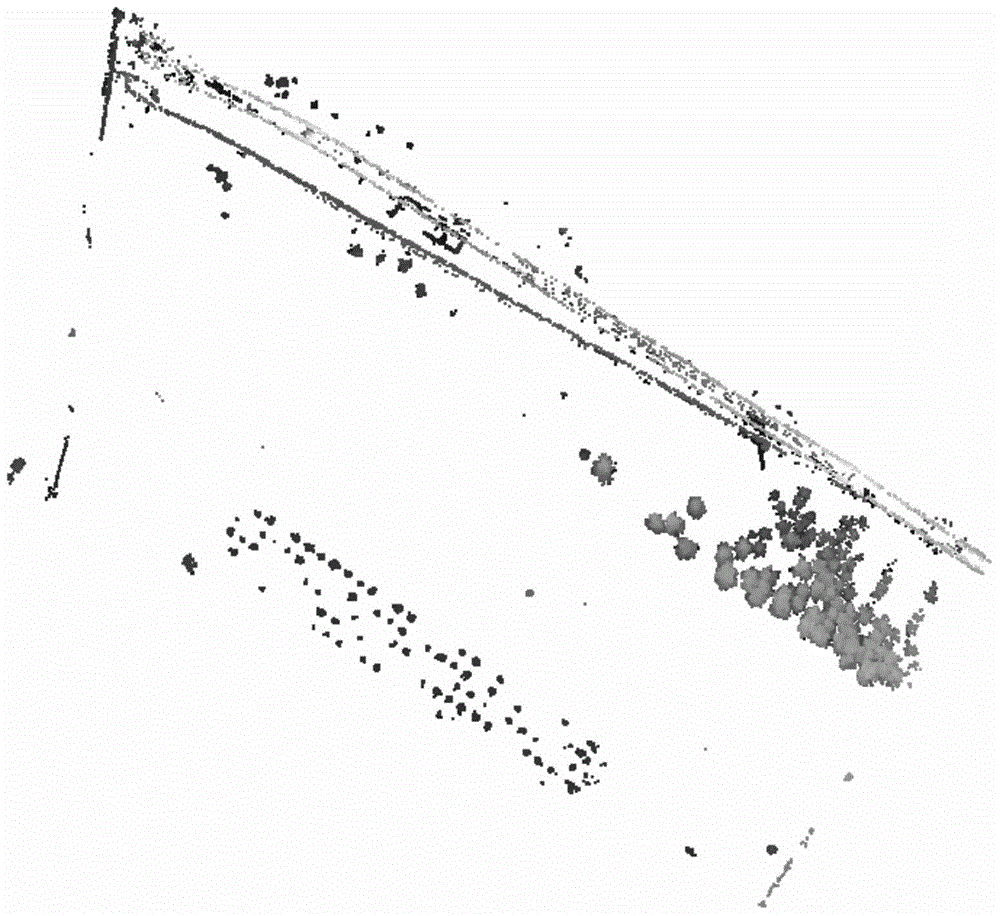
[0031] Step 1. Filter the original LiDAR data through the morphological filtering algorithm to filter the LiDAR point cloud to exclude ground points, and obtain a data set containing only ground object points (see figure 1 ).
[0032] LiDAR point cloud is a collection of three-dimensional points that are randomly distributed in space. By excluding ground points through LiDAR filtering, a data set containing only feature points can be obtained, and specific feature points can be extracted and analyzed on the basis of the set of feature points. , greatly improving the accuracy and integrity of the extraction, so the preprocessing of LiDAR point cloud data is very necessary for the ex...
PUM
 Abstract
Description
Claims
Application Information
 - R&D
- Intellectual Property
- Life Sciences
- Materials
- Tech Scout
- Unparalleled Data Quality
- Higher Quality Content
- 60% Fewer Hallucinations
Browse by: Latest US Patents, China's latest patents, Technical Efficacy Thesaurus, Application Domain, Technology Topic, Popular Technical Reports.
© 2025 PatSnap. All rights reserved.Legal|Privacy policy|Modern Slavery Act Transparency Statement|Sitemap|About US| Contact US: help@patsnap.com


