Fishing ground forecast method through adoption of multi-scale environment characteristics
An environmental feature, multi-scale technology, applied in forecasting, data processing applications, instruments, etc., can solve problems such as inability to achieve effective forecasting, achieve important scientific value, economic and social benefits, and improve accuracy.
- Summary
- Abstract
- Description
- Claims
- Application Information
AI Technical Summary
Problems solved by technology
Method used
Image
Examples
Embodiment Construction
[0026] In order to make the technical means, creative features, goals and effects achieved by the present invention easy to understand, the present invention will be further described below in conjunction with specific embodiments.
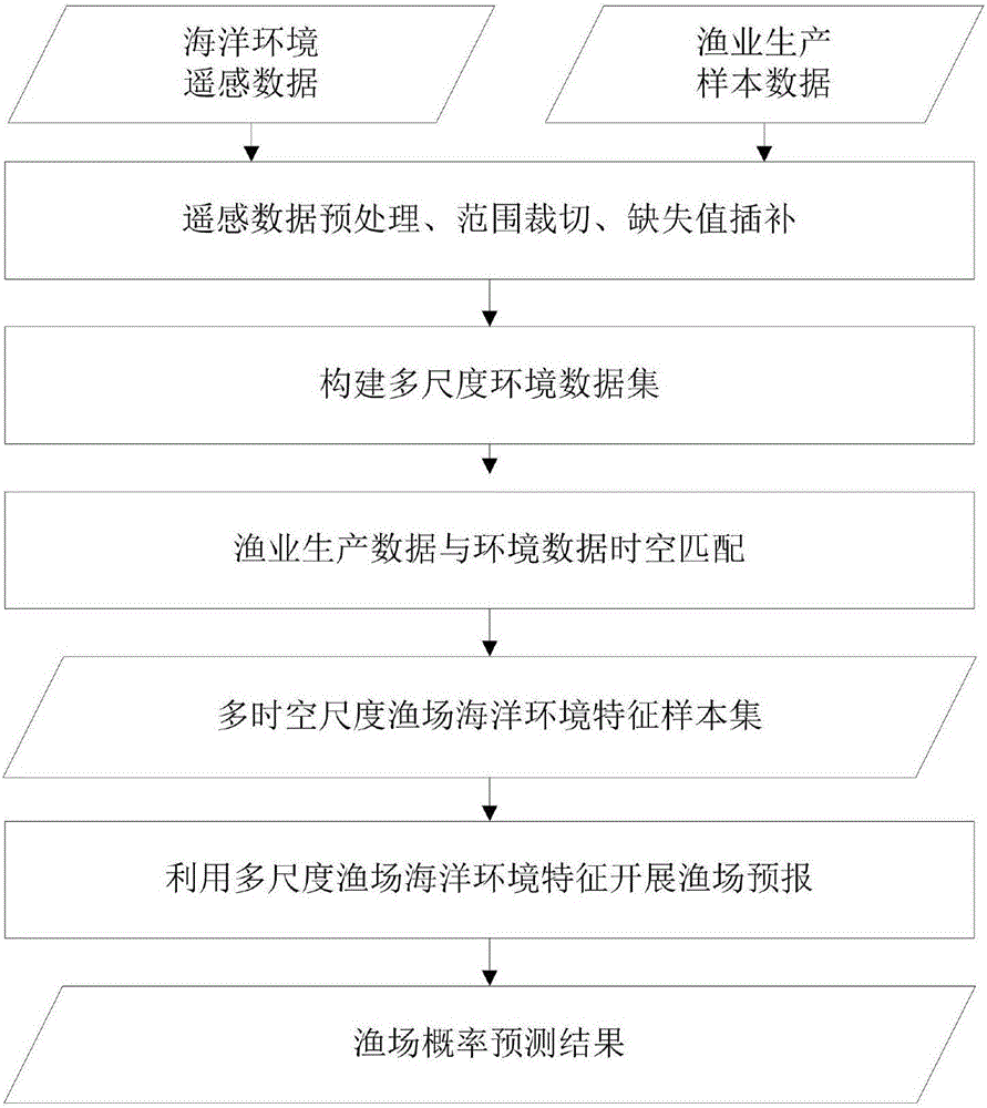
[0027] see figure 1 , a fishery forecasting method using multi-scale environmental features of the present invention, comprising the following steps:
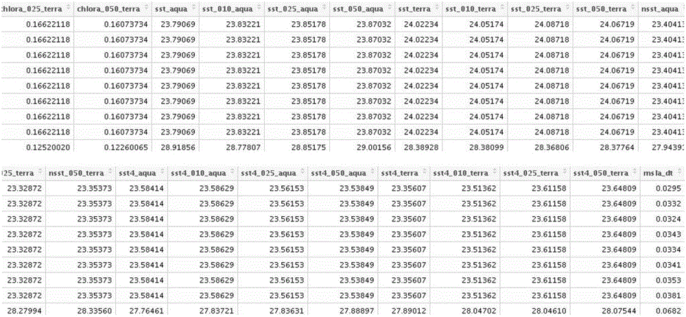
[0028] (1) Preprocessing the marine remote sensing multi-environmental element products obtained by satellite remote sensing technology. In a specific embodiment, sea surface environmental data include but not limited to chlorophyll a, sea surface temperature, and sea surface height.
[0029] Data clipping: In this example, the routine operation range of the South China Sea fishery is cut according to the latitude and longitude range of 105°E-130°E, 0°N-30°N, and a subset of environmental data of the South China Sea operation area is obtained.
[0030] Data interpolation: Because the remote sensin...
PUM
 Abstract
Description
Claims
Application Information
 - R&D
- Intellectual Property
- Life Sciences
- Materials
- Tech Scout
- Unparalleled Data Quality
- Higher Quality Content
- 60% Fewer Hallucinations
Browse by: Latest US Patents, China's latest patents, Technical Efficacy Thesaurus, Application Domain, Technology Topic, Popular Technical Reports.
© 2025 PatSnap. All rights reserved.Legal|Privacy policy|Modern Slavery Act Transparency Statement|Sitemap|About US| Contact US: help@patsnap.com


