

Corresponding period double high resolution remote sensing image-based forest biomass estimation method
A technology of forest biomass and remote sensing images, applied in the field of forest biomass estimation based on simultaneous dual high-resolution remote sensing images
- Summary
- Abstract
- Description
- Claims
- Application Information
AI Technical Summary
Problems solved by technology
Method used
Image

Examples
Embodiment 1
[0033] A forest biomass estimation method based on simultaneous dual high-resolution remote sensing images, comprising the following steps:
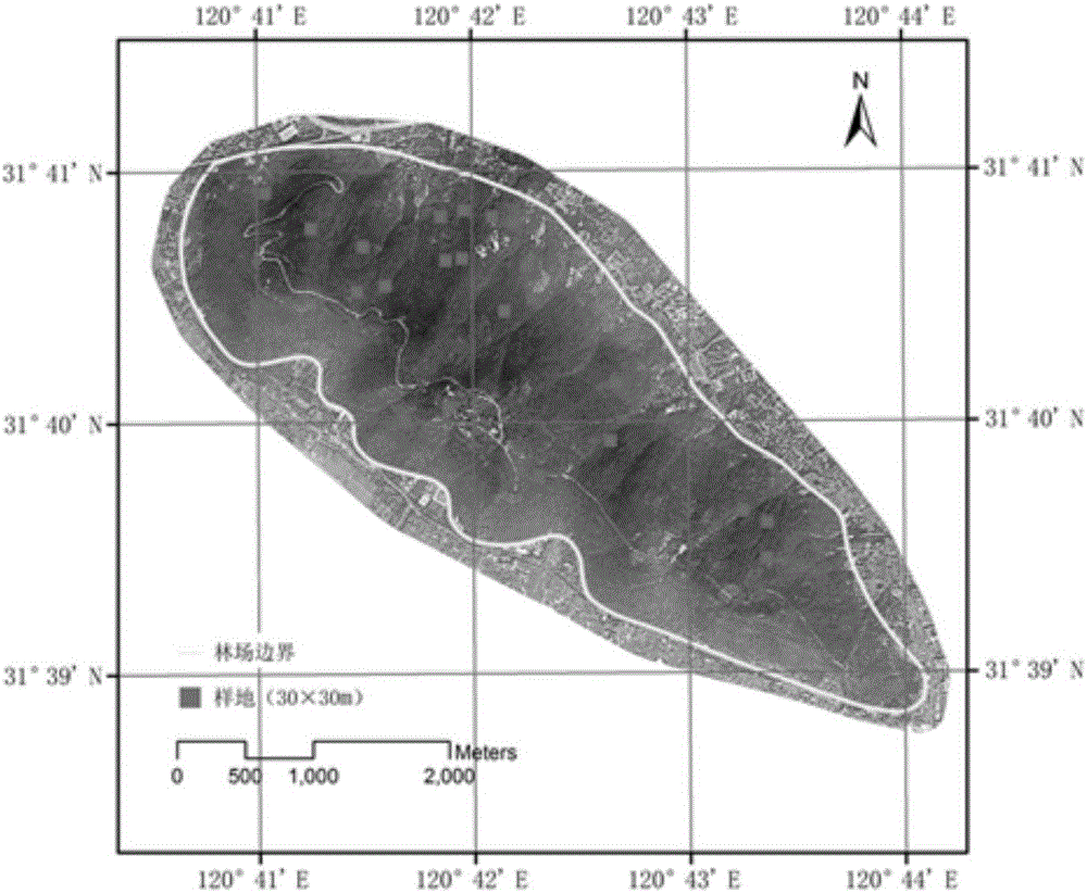
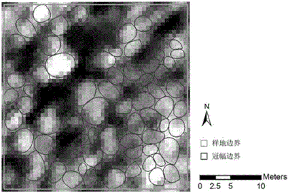
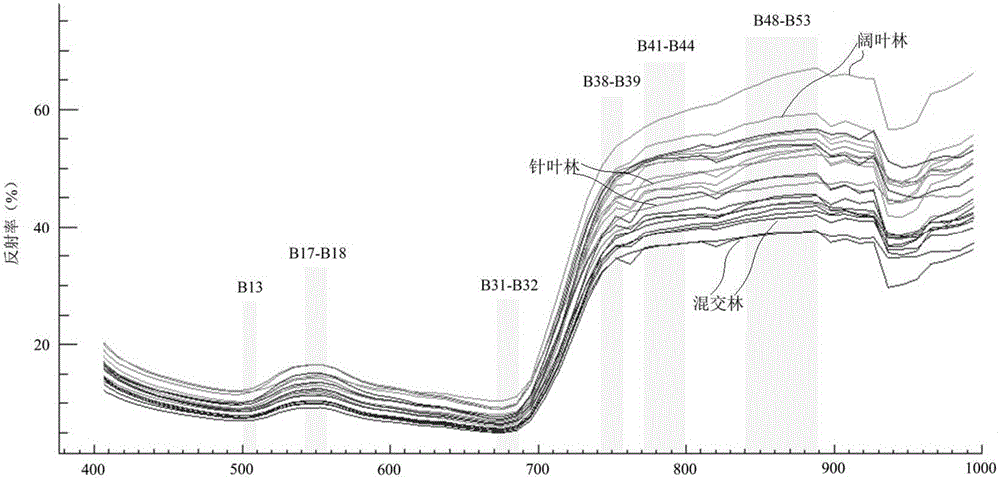
[0034] 1) Overview of the study area
[0035] The research area is selected from the state-run Yushan Forest Farm in Jiangsu Province (120°42′9.4″E, 31°40′4.1″N), with a total area of 1422hm 2, the range of elevation change is 20~260m. The study area is located in a typical northern subtropical monsoon climate zone, with an annual precipitation of 1062.5mm, of which June (171.3mm) and July (147.0mm) have the largest precipitation, accounting for 30% of the annual precipitation. The main soil type is yellow brown soil, which is acidic and has a pH value of 5-6. The main forest type of Yushan Forest Farm is subtropical secondary mixed forest, which can be subdivided into three forest types: coniferous, broad-leaved and mixed. The main coniferous tree species are Pinus massoniana, Chinese fir (Cunninghamia lanceolata) and slash pine (P...
PUM
 Abstract
Description
Claims
Application Information