Control measuring method and system
A technology for controlling measurement and control points, applied in the field of geographic information, can solve the problems of manual operation, low degree of automation and low efficiency, and achieve the effect of simple structure, high execution efficiency and high degree of automation
- Summary
- Abstract
- Description
- Claims
- Application Information
AI Technical Summary
Problems solved by technology
Method used
Image
Examples
Embodiment
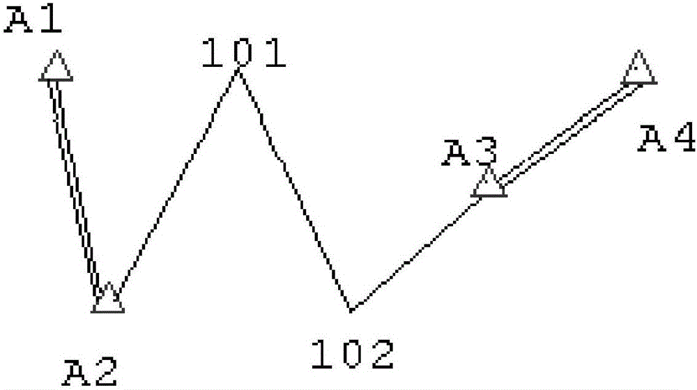
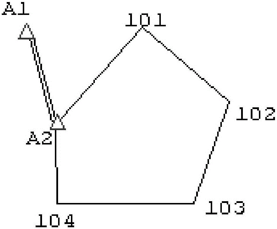
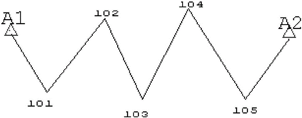
[0050] In this embodiment, the control measurement is free station setting and map root traverse survey; mainly including coincident traverse, closed traverse, non-directional traverse, branch traverse and free station establishment. Specifically include:
[0051] Preparing for Control Measurements
[0052] 1. The user can determine the survey area name, data (storage) directory (if the currently entered directory does not exist, the system will create it for you), mapping category, basic scale and operation according to the actual situation of the control measurement area and their own habits Name and main work area number, etc. OK after setting.
[0053] 2. The user can insert and delete control points through this dialog box, and then click 〖Apply〗 before performing control measurement to save and display the control points on the screen. If there is already a control point file in the system, it can be directly read in by introducing the control point, and then display ...
PUM
 Abstract
Description
Claims
Application Information
 - R&D
- Intellectual Property
- Life Sciences
- Materials
- Tech Scout
- Unparalleled Data Quality
- Higher Quality Content
- 60% Fewer Hallucinations
Browse by: Latest US Patents, China's latest patents, Technical Efficacy Thesaurus, Application Domain, Technology Topic, Popular Technical Reports.
© 2025 PatSnap. All rights reserved.Legal|Privacy policy|Modern Slavery Act Transparency Statement|Sitemap|About US| Contact US: help@patsnap.com


