Inclined plane scanning method based on two wind-measurement laser radars
A wind-measuring lidar and lidar technology, which is used in measurement devices, fluid velocity measurement, and re-radiation of electromagnetic waves, can solve problems such as the mismatch of scanning data spaces, and achieve simple principles, improved measurement accuracy, and easy operation. Effect
- Summary
- Abstract
- Description
- Claims
- Application Information
AI Technical Summary
Problems solved by technology
Method used
Image

Examples
Embodiment Construction
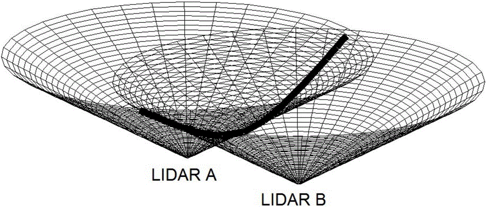
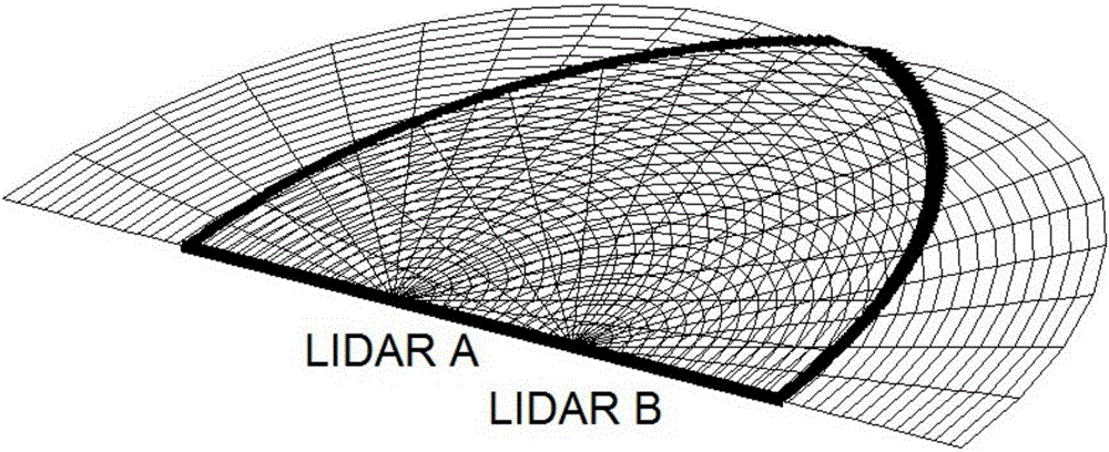
[0029] The inclined plane scanning method based on two wind-measuring lidars is characterized in that comprising the following steps:
[0030] 1. First level the datum planes of the two lidars, and use the coordinates of one of the lidars as the origin A(0,0,0) to establish a three-dimensional rectangular coordinate system, where the east direction is the positive direction of the x-axis and the north direction is the positive direction of the y-axis, and vertically upward is the positive direction of the z-axis;
[0031] 2. Calculate the relative coordinates of the second laser radar and the target point according to the position A(0,0,0) of the first laser radar: B(x1,y1,z1), C(x2,y2,z2);
[0032] 3. Calculate the unit normal vector p(u,v,w) of the plane where the three points A, B, and C of the space are located;
[0033] 4. Calculate the attitude variables of the two laser radars according to the unit normal vector p (u, v, w) and Euler's formula. The attitude variables i...
PUM
 Abstract
Description
Claims
Application Information
PatSnap Eureka turns technology decisions into work you can execute. Powered by our Innovation Knowledge Graph, it runs expert workflows across engineering, life sciences, materials and intellectual property. Get your review-ready output in minutes.


