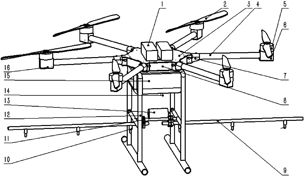
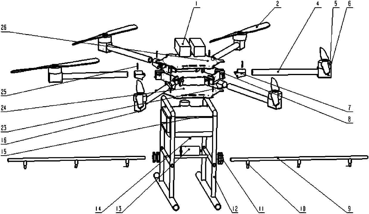
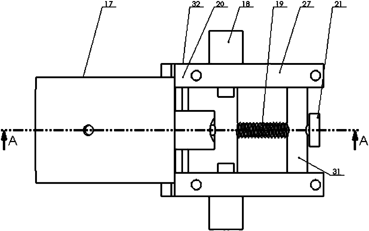
Plant protection aircraft for executing agricultural automatic spraying tasks and route planning method of plant protection aircraft
A technology of automatic spraying and plant protection machine, which is applied in the field of agricultural plant protection, can solve the problem of large space occupation, and achieve the effect of convenient transportation, high practical application value and small space occupation
- Summary
- Abstract
- Description
- Claims
- Application Information
AI Technical Summary
Problems solved by technology
Method used
Image
Examples
Embodiment 1
[0043] like Figure 6 As shown, firstly, the GmapPolygon class in GMap.NET is used to display the selected area. The method of use is similar to that of GMapMarker. The geographical coordinates of the polygonal farmland plots to be operated are obtained in turn, and an irregular quadrilateral of the plots is formed on the map. Plant protection The aircraft flies to each point of the polygon in turn, and obtains the latitude and longitude through the GetPointList method. First create a new overlay and GMapPolygon, and then define a list. The generic type of this list is PointLatLng. PointLatLng is used to store the latitude and longitude point class transmitted by the plant protection drone. Create an area through these points, and then use the SolidBrush brush The class performs operations such as filling color on this area, and finally adds GMapPolygon to Overlay, and adds Overlay to MapControl, such as Figure 7 As shown, an irregular quadrilateral is formed on the map;...
Embodiment 2
[0046] First, the GmapPolygon class in GMap.NET is used to display the selected area. The method of use is similar to that of GMapMarker. The geographic coordinates of the polygonal farmland plots to be operated are obtained in turn, and an irregular pentagon of the plot is formed on the map. The plant protection machine Fly to each point of the polygon in turn, and obtain the latitude and longitude through the GetPointList method. First create a new overlay and GMapPolygon, and then define a list. The generic type of this list is PointLatLng. PointLatLng is used to store the latitude and longitude point class transmitted by the plant protection drone. Create an area through these points, and then use the SolidBrush brush The class performs operations such as filling color on this area, and finally adds GMapPolygon to Overlay, and adds Overlay to MapControl, such as Figure 9 As shown, an irregular pentagon is formed on the map;
[0047] By finding the longest line segmen...
PUM
 Abstract
Description
Claims
Application Information
 - R&D
- Intellectual Property
- Life Sciences
- Materials
- Tech Scout
- Unparalleled Data Quality
- Higher Quality Content
- 60% Fewer Hallucinations
Browse by: Latest US Patents, China's latest patents, Technical Efficacy Thesaurus, Application Domain, Technology Topic, Popular Technical Reports.
© 2025 PatSnap. All rights reserved.Legal|Privacy policy|Modern Slavery Act Transparency Statement|Sitemap|About US| Contact US: help@patsnap.com


