A real estate automatic valuation method based on raster data
A raster data and real estate technology, applied in the field of real estate automatic valuation, can solve problems such as unclear logic, multi-storage resources and access speed, research accuracy and storage space contradictions, etc., achieve simple data structure, clear data structure, and solve grid Effects of grid storage barriers
- Summary
- Abstract
- Description
- Claims
- Application Information
AI Technical Summary
Problems solved by technology
Method used
Image
Examples
Embodiment 1
[0039] Embodiment 1, this embodiment discloses a real estate automatic valuation method based on raster data, including the following steps:
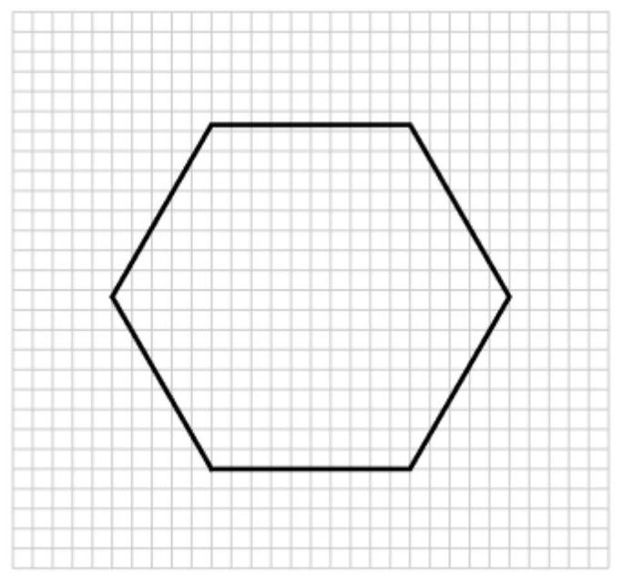
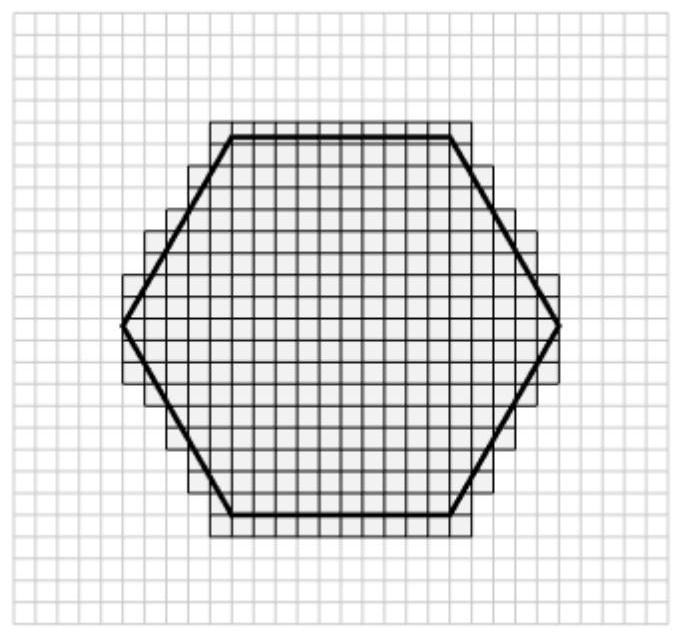
[0040] (1) Generate a grid within the study area;
[0041] (11) Determine the maximum and minimum values of the longitude and latitude of the boundary of the study area;
[0042] (12) Determine the size and shape of the grid;
[0043] (13) Based on the maximum value and the minimum value of longitude and latitude determined in step (11), a quadrilateral continuous grid is generated, and the grids intersecting the research area and the boundary of the research area are valid grids;
[0044] (2) Establish a business data layer in each grid
[0045] Include the standard price P of each building type in the grid i , where P refers to the price, i represents the type of building, including multi-storey, small high-rise, high-rise and villa; the adjustment coefficient β of each parameter ij , where β represents the adjustment coefficien...
PUM
 Abstract
Description
Claims
Application Information
 - R&D
- Intellectual Property
- Life Sciences
- Materials
- Tech Scout
- Unparalleled Data Quality
- Higher Quality Content
- 60% Fewer Hallucinations
Browse by: Latest US Patents, China's latest patents, Technical Efficacy Thesaurus, Application Domain, Technology Topic, Popular Technical Reports.
© 2025 PatSnap. All rights reserved.Legal|Privacy policy|Modern Slavery Act Transparency Statement|Sitemap|About US| Contact US: help@patsnap.com


