A real estate automatic appraisal method based on raster data

A grid data and real estate technology, applied in the field of real estate automatic valuation, can solve the problems of unclear logic, multiple storage resources and access speed, research accuracy and storage space contradiction, etc. The effect of grid storage barriers

Active Publication Date: 2019-01-22
青岛禧泰房地产数据有限公司
View PDF9 Cites 0 Cited by
  • Summary
  • Abstract
  • Description
  • Claims
  • Application Information

AI Technical Summary

Problems solved by technology

The common technical route does not involve a clear concept of business data layer, or mixes business data in the basic data of the grid, which will lead to unclear logic and reduced efficiency in different data application scenarios
[0004] When using raster technology, since the resolution of the raster will increase with the reduction of the raster, it will take up more storage resources and access speed
However, due to the significant urban concentration effect of real estate data, it is difficult to unify the grid size in urban built-up areas and urban suburbs, and it is easy to cause a contradiction between research accuracy and storage space

Method used


Image

  • A real estate automatic appraisal method based on raster data
  • A real estate automatic appraisal method based on raster data
  • A real estate automatic appraisal method based on raster data

Examples


Embodiment 1

[0039] Embodiment 1, this embodiment discloses a real estate automatic valuation method based on raster data, including the following steps:

[0040] (1) Generate a grid within the study area;

[0041] (11) Determine the maximum and minimum values ​​of the longitude and latitude of the boundary of the study area;

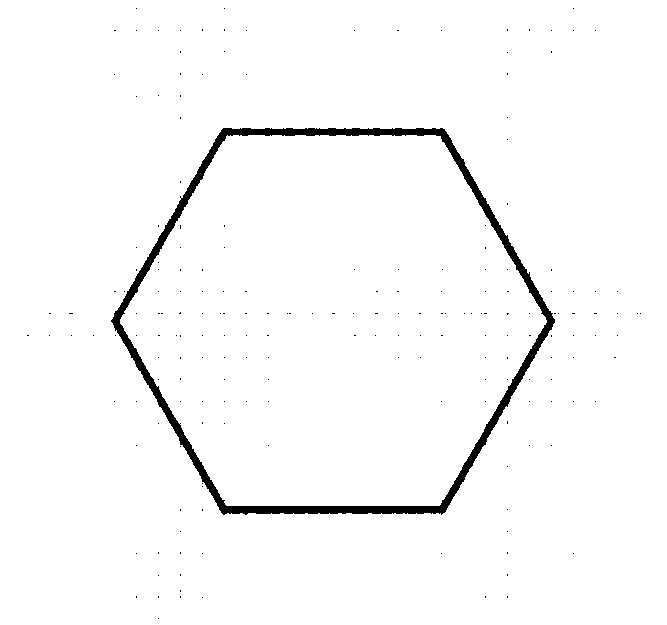
[0042] (12) Determine the size and shape of the grid;

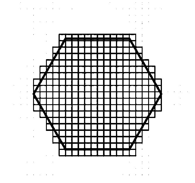
[0043] (13) Based on the maximum value and the minimum value of longitude and latitude determined in step (11), a quadrilateral continuous grid is generated, and the grids intersecting the research area and the boundary of the research area are valid grids;

[0044] (2) Establish a business data layer in each grid

[0045] Include the standard price P of each building type in the grid i , where P refers to the price, i represents the type of building, including multi-storey, small high-rise, high-rise and villa; the adjustment coefficient β of each parameter ij , where β represents the adjustment coefficien...


PUM


Abstract

The invention discloses a real estate automatic appraisal method based on raster data, which comprises the following steps: (1) generating a raster in a research area; (2) establishing a service datalayer in each grid; (3) according to the spatial distribution of the grid data, carrying out scanning grid clustering and merging; (4) performing automatic appraisal of real estate. The invention discloses the real estate automatic appraisal method based on raster data, which solves the storage problem of image and spatial attributes through the form of raster. The business scenario data of the grid is correlated by the grid ID, and the data structure is simple. The storage form of raster data is advantageous for spatial metrology analysis using spatial analysis library.

Description

technical field [0001] The invention belongs to the field of real estate automatic valuation, in particular to a grid data-based real estate automatic valuation method in the field. Background technique [0002] Real estate information is rich, and its storage methods are mostly vector data (geographical boundary coordinates), or in the form of administrative districts (county-level, township-level administrative districts). This method will lead to a relatively complex data structure. When establishing a spatial relationship, it is necessary to complete the attribute association through spatial distance calculation; it is not conducive to advanced spatial statistical analysis such as continuous surface analysis; it is difficult to support data applications on a microscopic scale. [0003] There are many application scenarios of real estate data. Raster data not only records its basic information (location coordinates, satellite images, etc.), but is also closely related to ...

Claims


Application Information

Patent Timeline
Patent Type & Authority Applications(China)
IPC IPC(8): G06Q30/02G06Q50/16
CPCG06Q30/0283G06Q50/16
Inventor 谢朝刚
Owner 青岛禧泰房地产数据有限公司
Why Eureka
Try Eureka