Multi-line laser radar calibration system and calibration method

A multi-line laser and calibration system technology, which is applied in the field of surveying and mapping, can solve the problems of low laser radar calibration efficiency, difficult implementability, and high site requirements, and achieve the effect of convenient implementability, high calibration efficiency, and low site requirements

Pending Publication Date: 2019-11-15
佛山市云展智能科技有限公司
View PDF4 Cites 14 Cited by
  • Summary
  • Abstract
  • Description
  • Claims
  • Application Information

AI Technical Summary

Problems solved by technology

[0004] One of the purposes of the present invention is to provide a multi-line laser radar calibration system in order to solve the problems of low calibration efficiency, low calibration accuracy, high site requirements and difficult implementability in the existing laser radar

Method used


Image

  • Multi-line laser radar calibration system and calibration method
  • Multi-line laser radar calibration system and calibration method
  • Multi-line laser radar calibration system and calibration method

Examples


specific Embodiment

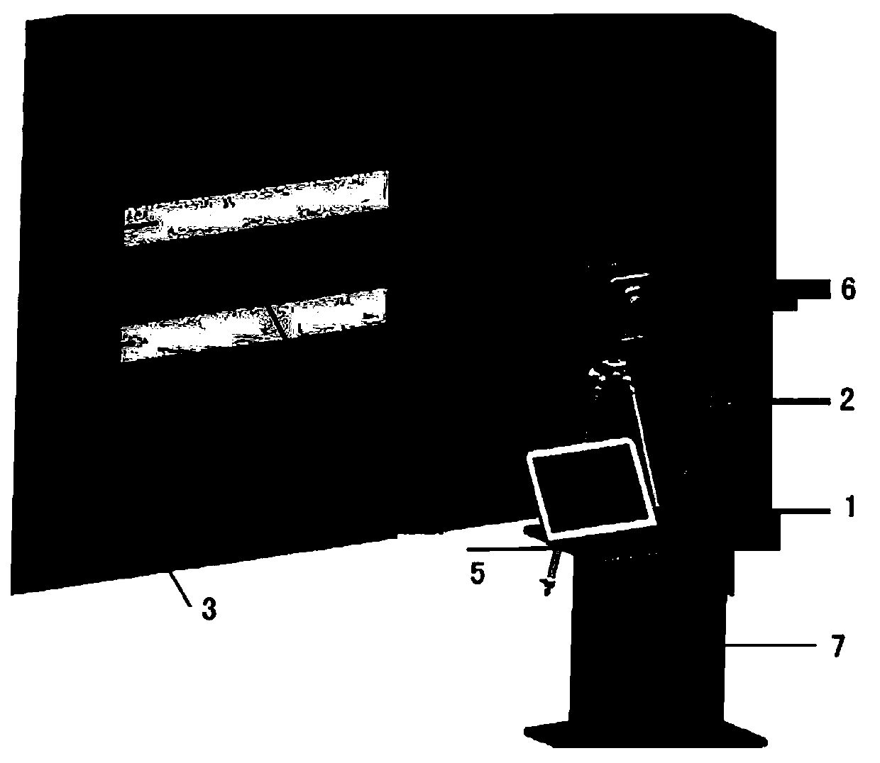
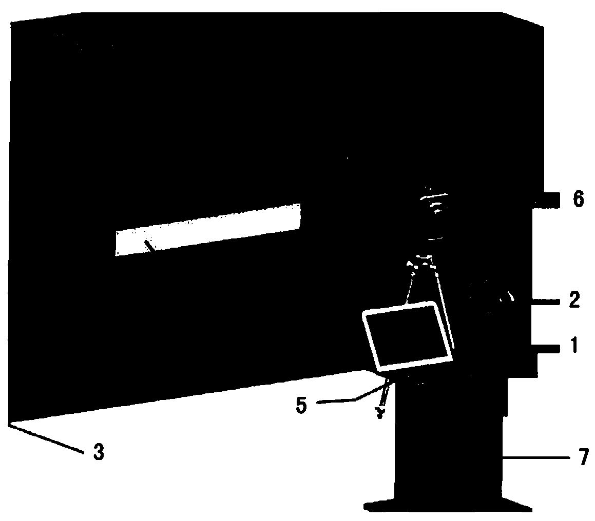
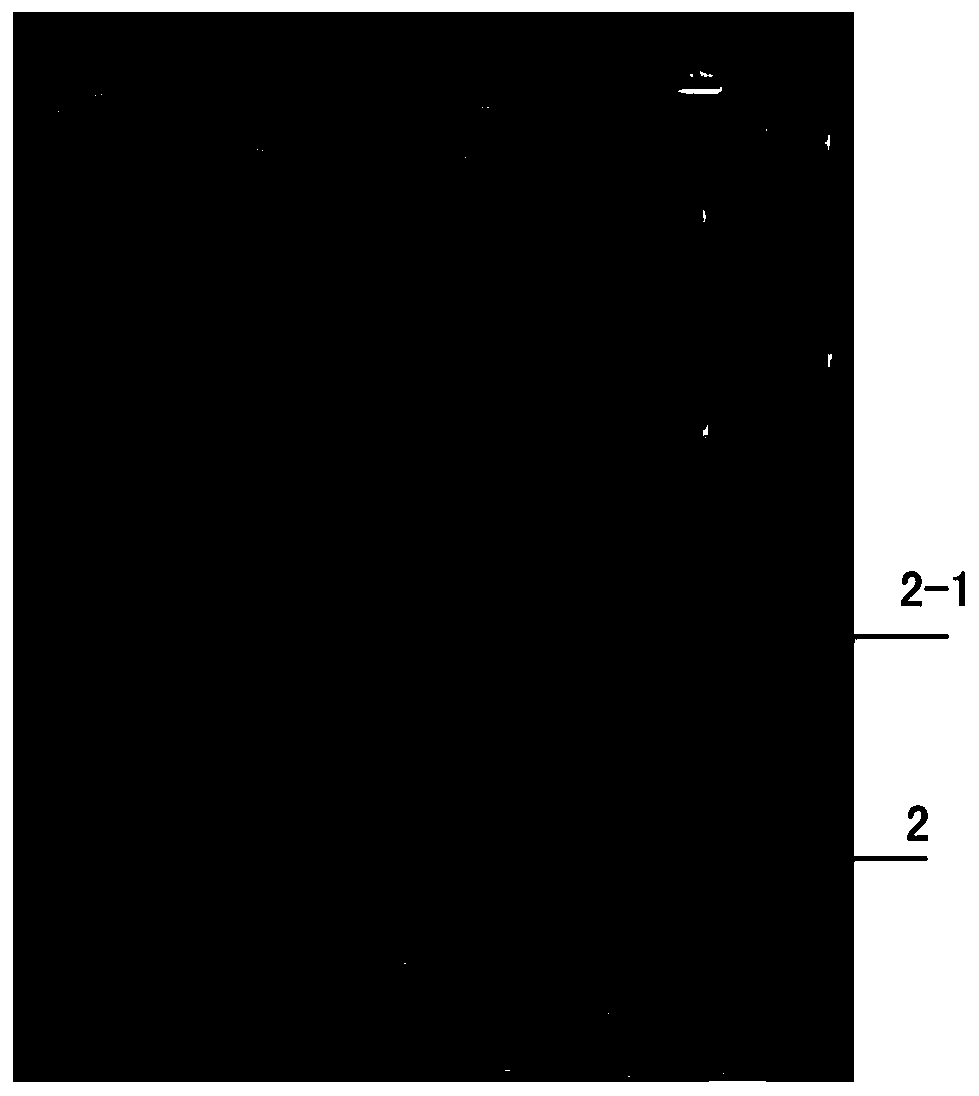
[0044] refer to Figure 1 to Figure 4 , the multi-line lidar calibration system involved in this embodiment includes a horizontal adjustment platform 1, an adapter frame 2, a reflective target 3, a total station 4, a computer 5, a laser rangefinder and a GPS antenna 6; the horizontal adjustment platform 1 Set on the support frame 7, a digital display level is configured to monitor and judge the leveling of the leveling platform; the adapter frame 2 has a connection structure for connecting the laser radar in the vertical direction and the horizontal direction, and is provided with an inertial measurement unit IMU; the reflective target 3 is set In the relative position of adapter frame 2, to form the area that constrains the laser beam; Total station 4 is arranged between adapter frame 2 and reflective target 3, forms the elevation measurement structure; The I / O ports are respectively connected to the signal output end of the digital display level, the signal output end of the...


PUM


Abstract

The invention relates to a multi-line laser radar calibration system and a calibration method. The system is characterized by comprising a horizontal levelling table, a switching frame, a reflecting target, a total station, a computer, a laser ranger and a GPS antenna; the horizontal levelling table is arranged on a support frame, a digital display level meter is configured to monitor and judge the levelling of the horizontal leveling table; the switching frame is a connecting structure connected with the laser radar in a vertical direction and a horizontal direction, and an inertia measurement unit IMU is arranged on the switching frame; the reflecting target is arranged at a relative location of the switching frame so as to form a region for constraining a laser beam; the total station is arranged between the switching frame and the reflecting target to form an elevation measurement structure; the computer is arranged on the support frame, an I/O port thereof is connected with a signal output end of the digital display level meter, the signal output end of the laser ranger, the signal output end of the total station and the signal output end of the GPS antenna, thereby forming anautomatic monitoring structure to monitor the laser reflectivity change and read and record inertia measurement unit IMU attitude angle. The system has the characteristics of being high in calibration efficiency, high in calibration precision, low in field requirement, and convenient to execute.

Description

technical field [0001] The invention relates to a multi-line laser radar calibration system and a calibration method. It is suitable for unmanned driving, drone surveying and mapping, inspection, etc. It belongs to the technical field of surveying and mapping. Background technique [0002] In many fields such as unmanned driving, unmanned aerial vehicle mapping, inspection, etc., multi-line lidar is a commonly used sensor device. Effectively obtain the azimuth and distance information of objects around the space, but in order to achieve accurate positioning of the target object, it is necessary to accurately calibrate the multi-line lidar, so as to improve the measurement accuracy of the radar and ensure the reliability of the lidar in actual work. [0003] In practical applications, the laser radar needs to be calibrated before it is used or leaves the factory. However, the existing traditional method is to place standard reflectors with certain characteristics at differe...

Claims


Application Information

Patent Timeline
Patent Type & Authority Applications(China)
IPC IPC(8): G01S7/497
CPCG01S7/497G01S7/4972
Inventor 王路
Owner 佛山市云展智能科技有限公司
Why Eureka
Try Eureka