Method for topographic correction of precipitation areal rainfall
A precipitation surface and rainfall technology, applied in the field of atmospheric science, can solve the problem of low accuracy of precipitation surface rainfall.
- Summary
- Abstract
- Description
- Claims
- Application Information
AI Technical Summary
Problems solved by technology
Method used
Image
Examples
Embodiment 1
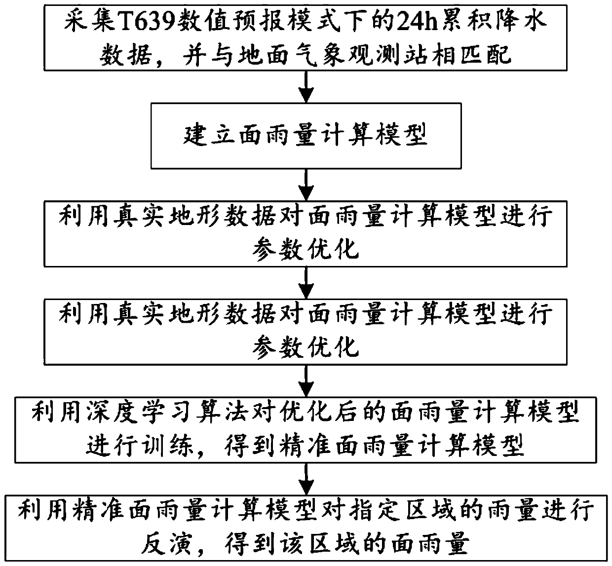
[0029] Such as figure 1 As shown, the present embodiment provides a method for terrain correction of precipitation surface rainfall, comprising the following steps:
[0030] S1: Collect 24h cumulative precipitation data under T639 numerical forecast mode;
[0031] S2: Match the 24h accumulated precipitation data in S1 with the surface meteorological observation stations, specifically:
[0032] S2.1: Grid the weather radar detection area;
[0033] S2.2: Convert the 24h cumulative precipitation data into 24h cumulative precipitation grid point data, and use the interpolation method to insert the 24h cumulative precipitation grid point data into the gridded weather radar detection area so that it matches the surface meteorological observation station;
[0034] S3: Using 24h accumulated precipitation data, model topography and actual observation data to establish an areal rainfall calculation model;
[0035] S4: Mark the latitude, longitude and real height of the surface meteor...
PUM
 Abstract
Description
Claims
Application Information
 - R&D
- Intellectual Property
- Life Sciences
- Materials
- Tech Scout
- Unparalleled Data Quality
- Higher Quality Content
- 60% Fewer Hallucinations
Browse by: Latest US Patents, China's latest patents, Technical Efficacy Thesaurus, Application Domain, Technology Topic, Popular Technical Reports.
© 2025 PatSnap. All rights reserved.Legal|Privacy policy|Modern Slavery Act Transparency Statement|Sitemap|About US| Contact US: help@patsnap.com

