Check patentability & draft patents in minutes with Patsnap Eureka AI!

Method for automatically generating editable reconnaissance map based on B/S and C/S terminals

A technology for automatic generation and drawing, applied in geometric CAD, natural language data processing, instruments, etc., can solve the problems of restricting the development of information technology in the survey industry, increasing the workload, and being difficult to meet the requirements of dynamic mapping, so as to improve the generation and display rate, the effect of ensuring universality

Pending Publication Date: 2021-12-10
WUHAN SURVEYING GEOTECHN RES INST OF MCC
View PDF6 Cites 2 Cited by
  • Summary
  • Abstract
  • Description
  • Claims
  • Application Information

AI Technical Summary

Problems solved by technology

[0004] During the drawing process, every time a single data is modified, all the drawings need to be regenerated, which not only increases the workload, but also cannot retain the traces of manual modification
With the development of technology, the traditional survey mode has been gradually changed by the information survey mode. Its biggest advantage has changed the paper data collection method, and the real-time data collection method is adopted. Dynamic mapping requirements restrict the development of information technology in the survey industry

Method used


Image

  • Method for automatically generating editable reconnaissance map based on B/S and C/S terminals
  • Method for automatically generating editable reconnaissance map based on B/S and C/S terminals
  • Method for automatically generating editable reconnaissance map based on B/S and C/S terminals

Examples


Embodiment Construction

[0030] The following will clearly and completely describe the technical solutions in the embodiments of the present invention with reference to the accompanying drawings in the embodiments of the present invention. Obviously, the described embodiments are only some, not all, embodiments of the present invention. Based on the embodiments of the present invention, all other embodiments obtained by persons of ordinary skill in the art without making creative efforts belong to the protection scope of the present invention.

[0031] see figure 1 , the present invention provides a technical solution:

[0032] Such as figure 1 As shown, a method for automatically generating editable survey maps based on B / S and C / S terminals

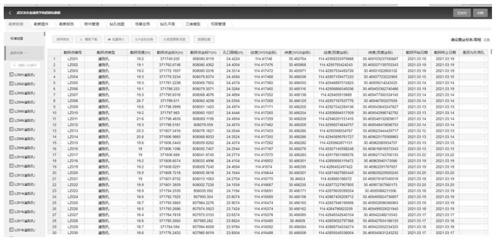
[0033] S1. Obtain survey data, survey data includes survey point number, survey point type, survey point depth, survey point coordinate data, stratum number, layer depth, layer description, in-situ test, geotechnical test information; figure 2 and image 3...


PUM


Abstract

The invention provides a method for automatically generating an editable reconnaissance map based on B / S and C / S terminals. The method comprises the following specific steps: S1, collecting reconnaissance data; S2, automatically drawing the reconnaissance map; s3, converting the data into an intermediate data format of a survey map by the system; s4, converting the intermediate data format of the survey map into a dxf data format or other formats; s5, analyzing the dxf graph data; and S6, the user edits on the display interface. According to the method, the difference of clients in various forms in the aspect of drawing technology and the difference of application scenes are considered, and various map data formats are supported; each client can preview and edit data like locally opening a reconnaissance map; the universality, usability and real-time performance of implementation can be ensured to the greatest extent.

Description

technical field [0001] The invention relates to the field of construction engineering software technology research, in particular to a method for automatically generating editable survey maps based on B / S and C / S terminals. Background technique [0002] CAD is the main way to transmit drawings in the engineering industry. The drawings of survey results are basically based on CAD, which is limited by technological development and application scenarios. Currently, the survey CAD drawings (including plan, histogram, section, etc.) used in the industry Basically, they are generated based on desktop stand-alone software. [0003] Since the survey results are based on on-site survey data, graphic connection rules and expert wisdom analysis, it will lead to continuous adjustment and modification in the process of map arrangement to achieve the most reasonable geological judgment. At present, there are two types of survey and mapping software on the market, one is secondary develop...

Claims


Application Information

Patent Timeline
IPC IPC(8): G06F30/12G06F40/166
CPCG06F30/12G06F40/166
Inventor 刘续李军余品隆李春亮李雪龙
Owner WUHAN SURVEYING GEOTECHN RES INST OF MCC
Features
  • R&D
  • Intellectual Property
  • Life Sciences
  • Materials
  • Tech Scout
  • Unparalleled Data Quality
  • Higher Quality Content
  • 60% Fewer Hallucinations
Learn More