
Unmanned aerial vehicle positioning method capable of covering signals of agriculture and forestry robot

A positioning method and UAV technology, applied in the field of information processing, can solve the problems of robot anti-collision and signal loss, and achieve the effect of ensuring real-time performance and high altitude

Pending Publication Date: 2022-03-04
苏州丽景智能科技有限公司
View PDF0 Cites 0 Cited by
  • Summary
  • Abstract
  • Description
  • Claims
  • Application Information

AI Technical Summary

Problems solved by technology

Follow the classic loop strategy to solve the sequence maximum element problem, and design an efficient stochastic algorithm for solving multi-constrained semi-definite regularization
This technology is used to solve the problems of signal loss and robot anti-collision faced by drone positioning in agricultural and forestry production

Method used


Image

  • Unmanned aerial vehicle positioning method capable of covering signals of agriculture and forestry robot
  • Unmanned aerial vehicle positioning method capable of covering signals of agriculture and forestry robot
  • Unmanned aerial vehicle positioning method capable of covering signals of agriculture and forestry robot

Examples


Embodiment Construction

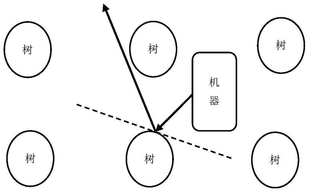
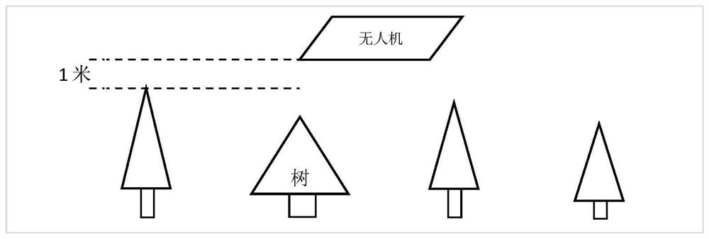
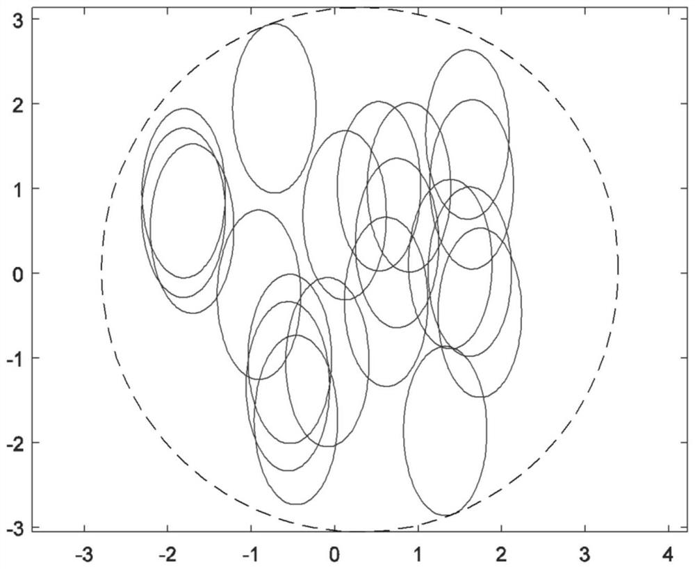
[0058] see Figure 1 to Figure 4 As shown, the UAV positioning method based on optimization technology that can cover the signals of agricultural and forestry robots, the hardware that the method relies on includes an unmanned aerial vehicle and multiple agricultural and forestry robots M, and the UAV is equipped with an airborne base station, Utilize described airborne base station to described agriculture and forestry robot M supplementary signal, the distance measurement unit utilized in described method is meter, and time unit is minute, the unmanned aerial vehicle positioning optimization model that can cover agriculture and forestry robot signal is set up below:

[0059] The activity range of the i-th agricultural and forestry robot Mi is defined as an elliptical area, denoted as E i , i is a positive integer, and its major axis is Minor axis is with E i The center of the position is the origin of the coordinates, and the north-south direction is the vertical axis. ...


PUM


Abstract

The invention relates to an optimization technology-based unmanned aerial vehicle positioning method capable of covering robot signals, provides the concept of agriculture and forestry robots and the demand market of the agriculture and forestry robots, and establishes a multi-constraint complex semi-definite programming model by using the optimization technology aiming at the defects of the agriculture and forestry robots in the aspects of signal sources and positioning functions. Through the structure of a multi-constraint complex semi-definite programming model, the model is decomposed into a multi-constraint simple semi-definite programming problem model and a sequence maximum meta problem model. The maximum element problem of the sequence is solved by using a cyclic strategy, and an efficient random algorithm for solving multi-constraint semi-scaling is designed. The method is used for solving the problem that in agricultural and forestry production, unmanned aerial vehicle positioning faces signal loss of covering robot signals and the like.

Description

technical field [0001] The invention belongs to the technical field of information processing, and relates to an unmanned aerial vehicle positioning method based on optimization technology that can cover agricultural and forestry robot signals. Background technique [0002] In the production activities of agriculture and forestry, it is necessary to use robots that can be operated automatically by no one, which are called agricultural and forestry robots. As far as the communication level is concerned, agricultural and forestry operations have a large area and a wide range, and it is not easy to establish a signal coverage network. In addition, the height of agricultural and forestry crops cannot be ignored compared with the height of farmland crops, which is one of the important reasons affecting signal coverage and signal communication. [0003] Robots within the scope of agriculture and forestry have a narrower field of view than farmland terrain, so agricultural and for...

Claims


Application Information

Patent Timeline
Patent Type & Authority Applications(China)
IPC IPC(8): G01S1/08
CPCG01S1/08Y02T10/40
Inventor 庞丽萍张明堃王爽王金鹤
Owner 苏州丽景智能科技有限公司
Learn More