
Auxiliary surveying and mapping device based on urban three-dimensional terrain

A three-dimensional terrain, surveying and mapping device technology, used in surveying devices, surveying and navigation, surveying instruments and other directions, can solve the problems of unstable center of gravity, uneven ground unevenness in surveying and mapping, and achieve the effect of improving stability

Pending Publication Date: 2022-05-17
武丽兵
View PDF1 Cites 0 Cited by
  • Summary
  • Abstract
  • Description
  • Claims
  • Application Information

AI Technical Summary

Problems solved by technology

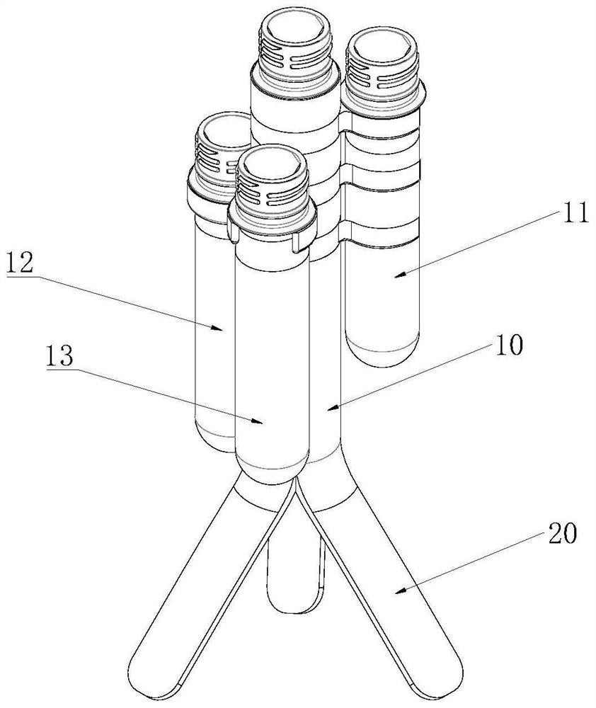
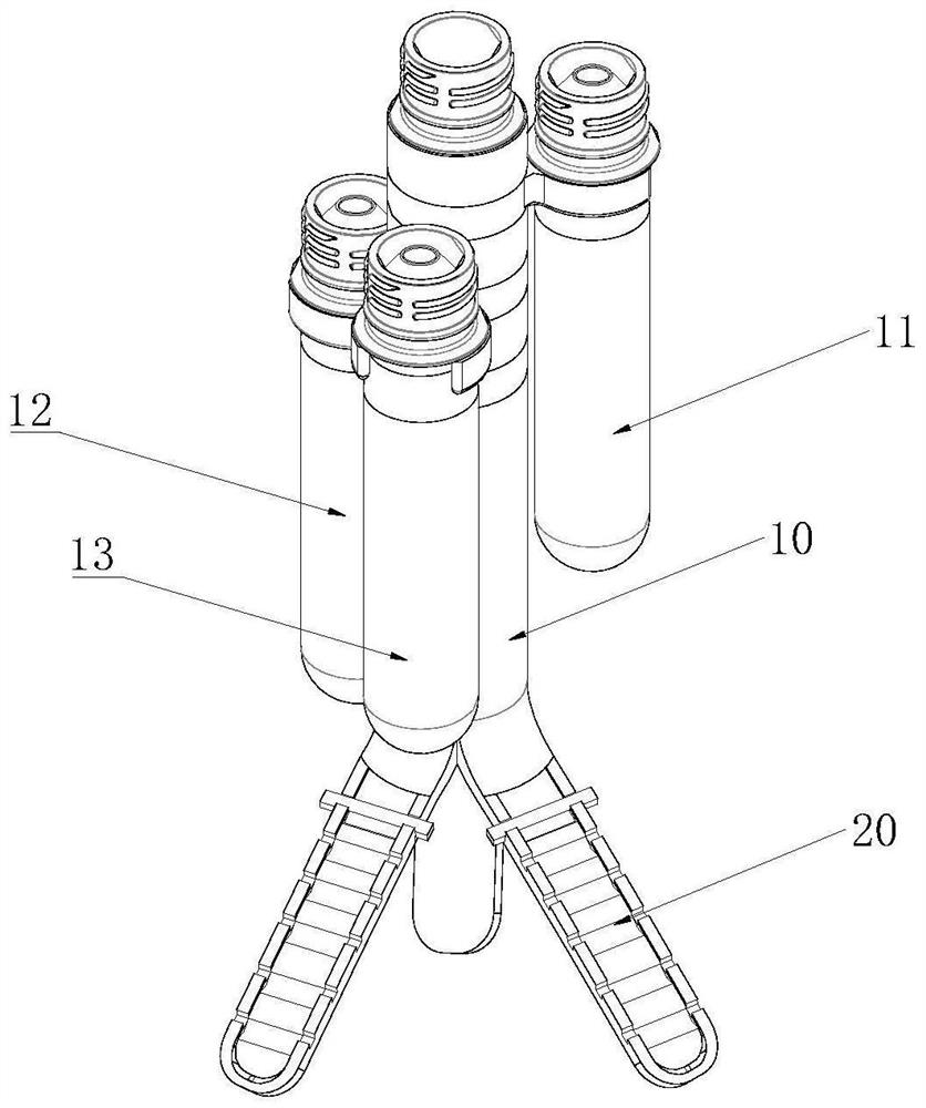
[0004] The purpose of the present invention is to provide an auxiliary surveying and mapping device based on the three-dimensional urban topography, through the setting of the first telescopic rod and the second telescopic rod, to solve the unevenness of the surveying and mapping ground proposed in the above background technology, resulting in the auxiliary device being placed on the ground center of gravity instability

Method used


Image

  • Auxiliary surveying and mapping device based on urban three-dimensional terrain
  • Auxiliary surveying and mapping device based on urban three-dimensional terrain
  • Auxiliary surveying and mapping device based on urban three-dimensional terrain

Examples


Embodiment Construction

[0033] The following will clearly and completely describe the technical solutions in the embodiments of the present invention with reference to the accompanying drawings in the embodiments of the present invention. Obviously, the described embodiments are only some, not all, embodiments of the present invention. Based on the embodiments of the present invention, all other embodiments obtained by persons of ordinary skill in the art without making creative efforts belong to the protection scope of the present invention.

[0034] In addition, an element in the present invention is said to be "fixed" or "disposed on" another element, and it may be directly on another element or an intervening element may also exist. When an element is referred to as being "connected to" another element, it can be directly connected to the other element or intervening elements may also be present. The terms "vertical," "horizontal," "left," "right," and similar expressions are used herein for purp...


PUM


Abstract

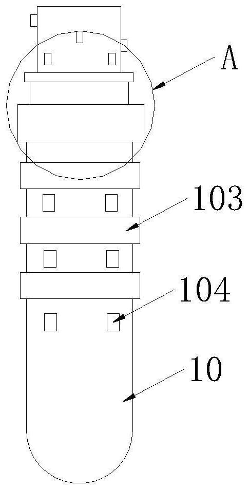
An auxiliary surveying and mapping device based on urban three-dimensional terrains belongs to the technical field of surveying and mapping instruments and comprises a first limiting pipe, a second limiting pipe, a third limiting pipe and a fourth limiting pipe, limiting blocks are fixedly connected into the second limiting pipe, the third limiting pipe and the fourth limiting pipe respectively, through holes are formed in the limiting blocks, and through holes are formed in the limiting blocks. The limiting block is arranged in a hollow mode through the through hole, a first telescopic rod is installed in the through hole, the outer side wall of the top of the first telescopic rod is fixedly connected with the inner side wall of the limiting block, a second telescopic rod is installed in the first telescopic rod, and the first telescopic rod and the second telescopic rod are used for controlling movement of the drill rod. In the process that the driving motor controls the drill rod to rotate, the drill rod can conveniently extend into soil, and the gravity center of the auxiliary device in the using process is adjusted by adjusting the second limiting pipe, the third limiting pipe and the fourth limiting pipe and the positions, corresponding to the drill rod, in the second limiting pipe, the third limiting pipe and the fourth limiting pipe.

Description

technical field [0001] The invention relates to the technical field of surveying and mapping equipment, in particular to an auxiliary surveying and mapping device based on urban three-dimensional topography. Background technique [0002] Surveying and mapping is surveying and drawing. Based on computer technology, photoelectric technology, network communication technology, space science, and information science, with global navigation satellite positioning system, remote sensing, and geographic information system as the technical core, the existing feature points and boundaries on the ground are The graphics and position information reflecting the current situation of the ground are obtained by means of measurement, which can be used for planning, design and administrative management of engineering construction. [0003] In the prior art, the patent whose application number is CN202011425095.3 discloses an auxiliary surveying and mapping device for engineering exploration wi...

Claims


Application Information

Patent Timeline
Patent Type & Authority Applications(China)
IPC IPC(8): F16M11/24F16M11/04F16M7/00F16F15/28G01C15/00
CPCF16M11/24F16M11/04F16M7/00F16F15/00G01C15/00F16M2200/04F16M2200/08F16F2230/0005
Inventor 武丽兵刘森
Owner 武丽兵
Learn More