Soil and topography surveying
A soil and geographic area technology, applied in the field of soil and terrain survey and mapping, can solve problems such as errors, increase flexibility, improve survey efficiency, and reduce on-site detection time
- Summary
- Abstract
- Description
- Claims
- Application Information
AI Technical Summary
Problems solved by technology
Method used
Image
Examples
Embodiment Construction
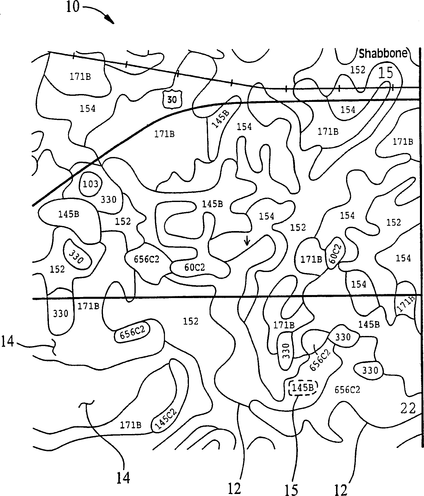
[0060] Referring first to FIG. 1, soil topology information is displayed in an aerial photograph 10 with superimposed closed boundaries or polygons 12, each enclosing a geographic area 14 or "soil map unit" marked with a number corresponding to the A reference profile of specific subsurface material properties as determined by the USDA-NRCS soil survey for soil system description. In this demo, which covers approximately 1000 acres (4.0 square kilometers), there are several polygons 12 each defining a numbered soil map cell 14 . Because the numerical designation 15 of a soil map unit corresponds to a soil type and profile of a particular characteristic, many soil map units at the site have the same designation. As shown, these polygons are irregularly shaped, as determined by the local topology and coarse sampling at survey time.
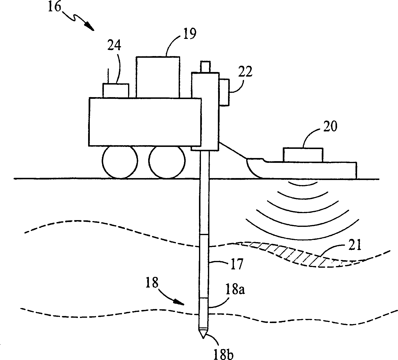
[0061] figure 2A probe vehicle 16 suitable for the collection of live subsurface data and other available data for the site is illustrated. The ...
PUM
 Abstract
Description
Claims
Application Information
 - R&D
- Intellectual Property
- Life Sciences
- Materials
- Tech Scout
- Unparalleled Data Quality
- Higher Quality Content
- 60% Fewer Hallucinations
Browse by: Latest US Patents, China's latest patents, Technical Efficacy Thesaurus, Application Domain, Technology Topic, Popular Technical Reports.
© 2025 PatSnap. All rights reserved.Legal|Privacy policy|Modern Slavery Act Transparency Statement|Sitemap|About US| Contact US: help@patsnap.com


