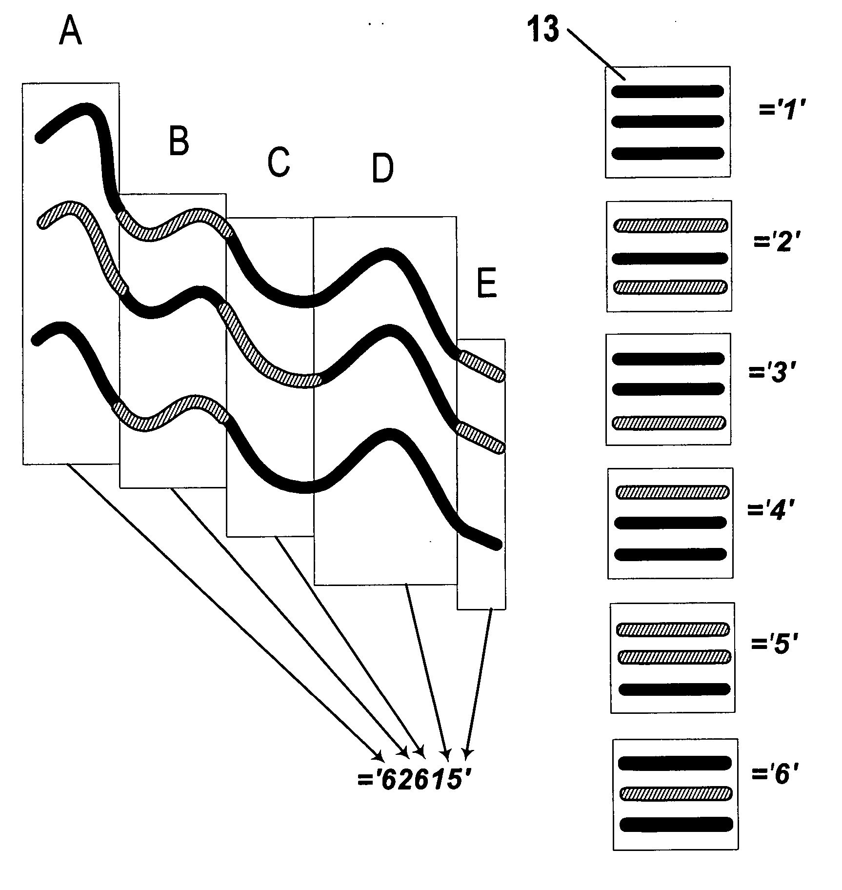
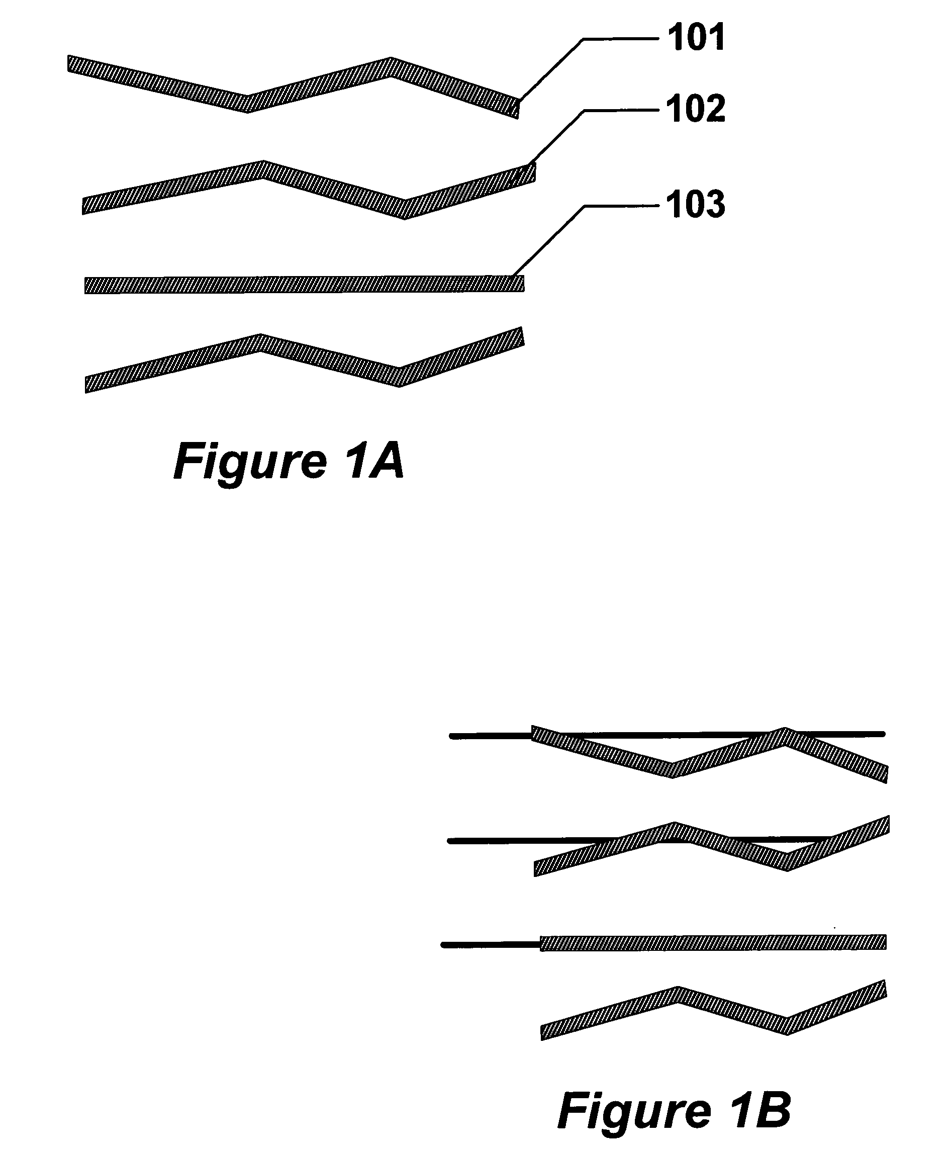
[0036] In contrast, the present invention provides a novel method to detect the presence of change of geologic data which allows the geometric information associated with the depositional play to be preserved by causing the calculation to follow along the actual 3D horizon during the calculation. This has the
advantage that the statistics of changes along the geodesic path can be calculated in-situ to a geodesic line or surface, which conforms to a
physical structure, and the statistics can be used to differentiate the structure from nearby structures. Changes in the statistics due to the deformation of the deposition onto a plane, which are customary when the inferior method of ordinary flattening, are eliminated. This results in a clearer picture that the changes in the statistics along the depositional
vein represent changes in physical quantities, rather than being caused by an artifact of projection or collapse of the data during artificial compression onto a nearby plane. The area or volume that the calculation engages at each point along the path can be selected to exclude adjacent areas or volumes that are not of geologic consequence, thus improving the validity of the inferences made by excluding extraneous data in the calculation. The calculation can be tailored to occupy a
physical structure such as a trap, and the tailoring can be performed to limit the calculation to comprise only the fluid-bearing portion of the structure, thus greatly aiding the
hydrocarbon-finding utility of the calculation. Thus by allowing the calculation path to coincide with the trap geometry, a topological horizon can be used which improves the validity of the resulting calculation in determining significant changes. Such calculations can be used in a feedback mode to detect where discontinuities in the calculation arise not from a change in a geologic deposition, but instead can only be attributed to
signal acquisition errors or from an abrupt mathematical discontinuity such as would result from a fault.
[0037] The calculation proceeds along a chosen path, typically that for a trap geometry. Because the change along the path must be able to be attributed to physical changes rather than mathematical artifacts, the coordinate
system must travel with the operator in 3D. This means that the orientation of the operator must align with the path. Since
voxel space is discrete, interpolations of the values of the operator between
voxel points is required during rotations to align to the path so as to not introduce errors. A sufficient number of extra voxels need to be carried along with the operator size to allow rotations to proceed with enough voxels to allow the correct interpolation. The zone of valid calculations is circumscribed by the portion of the path for which a sufficient number of voxels is available for the given geo-operator size, in 3D. The methods used to perform the calculation on the path are independent of the method of designating the path, and the points of the path can be selected by any variety of methods used to designate a geodesic line. Because the physical changes exist along the geodesic line are inferred to result from geologic changes, the boundaries for
pattern recognition are found along the lineal path of the geodesic line. The task of sorting areas or boundaries in the
pattern space that otherwise occurs when the statistics of an ordinary Cartesian volume are calculated is greatly eased since the statistics are confined to lay along the geodesic line. Thus the patterns that are discovered from statistics are closely related to the underlying geologic patterns, and this relation is so close that one can be substituted for the other. This allows
visual pattern recognition to proceed from the calculation of geologic change along the geodesic path that represents the trap geometry.
[0038] The present invention supplants the statistic method in evaluating geobodies and the need to develop a local coordinate neighborhood by the novel consideration of direction of calculation. This fundamental change allows the statistic method of analysis to overcome the difficulties associated with using unflattened data, avoiding the need to form segmentation over large areas in lateral directions, while preserving the underlying information in the patterns without the need to use a deformation.
[0041] 2. It is an object of this invention to provide a method to obviate the need for flattening by provide a alternative to attempting to correct for
distortion flattening. Yet another object of the invention is to allow the use of 3D operators on unflattened data thus eliminating the need for flattening of the data. Another object of the invention is to eliminate errors associated with use of ordinary Cartesian operators when applied to unflattened data, and which would otherwise require flattening. Still yet another object of the invention is to convert a body of seismic data to an “operator-flattened” form, by the successive use of the operator, which can then serve to catalog the transformation from the original dataset to a manifold aligned to the strata.
[0042] 3. A further object of the invention is to use empirical
computational statistics for the intent of evaluating the change of features on a path thereby enhancing the utility of the statistics, rather than simply using the statistics as an ordinary filter of the seismic data to measure the general presence of the feature in a volume. Thus, it is an object of this invention to provide a method by which the statistics of calculation are confined to physical, geodesic paths thereby rendering them to be a measure of the contents of the physical trap structure. It is an object of this invention to provide a method to reduce the computation
workload of geo-statistics calculation by confinement of the calculation to be performed only to the physically significant locations. It is an object of this invention to provide a method that scales the statistics of calculation along a geodesic path by the neighborhood of the location of the geo-operator, and by observing the change in statistics with change in geo-operator neighborhood to infer a change in the geologic variables along the geodesic path.
[0044] 5. It is an object of this invention to provide a method by which the
pattern recognition can be accomplished concurrently with
visualization rendering by making calculations that follow geologic or topologic structure or follow geodesic paths. It is an object of this invention to provide a method by which the statistical calculation along a geodesic path intrinsically allows a pattern to be recognizable in 3D, which eliminates the dependence on separating classes using only statistical boundaries as is done in ordinary
pattern recognition. Still yet another object of the invention is to allow interpreters to tune such geo-operators to best enhance the pattern recognition, thus allowing them to tune classification boundaries empirically. Another object of the invention is to enable statistics measures to reflect classification boundaries and to
restrict classification boundaries to physical boundaries.


