Optimized Satellite Image Retrieval

Active Publication Date: 2012-02-09
TELESPAZIO SPA
View PDF1 Cites 1 Cited by
  • Summary
  • Abstract
  • Description
  • Claims
  • Application Information

AI Technical Summary

Benefits of technology

[0041]The objective of the present invention is therefore that of providing a satellite image retrieving system that, in gen

Problems solved by technology

The Applicant has noted that the problem related to retrieving satellite images from an electronic archive of satellite images can be summarized in the difficulty of georeferencing satellite images in a short time and in a sufficiently accurate manner, i.e. of associating the corresponding geographic contexts with the satellite images, or rather the corresponding geographic areas shown in them.
At present, techniques ba

Method used


Image

  • Optimized Satellite Image Retrieval
  • Optimized Satellite Image Retrieval
  • Optimized Satellite Image Retrieval

Examples


Embodiment Construction

[0050]The following description is provided to allow an expert in the field to embody and use the invention. Various modifications to the embodiments shown shall be immediately evident to experts and the generic principles disclosed herein could be applied to other embodiments and applications, without however departing from the scope of protection of the present invention.

[0051]Therefore, the present invention should not be intended as limited to just the embodiments described and shown, but granted the broadest scope of protection consistent with the principles and characteristics presented herein and defined in the enclosed claims.

[0052]Furthermore, the present invention is embodied by means of a software program comprising portions of code configured to totally or partially implement the satellite image retrieving system described in the following when the software program is loaded in the memory of a computer and executed on said computer.

[0053]The present invention derives fro...


PUM


Abstract

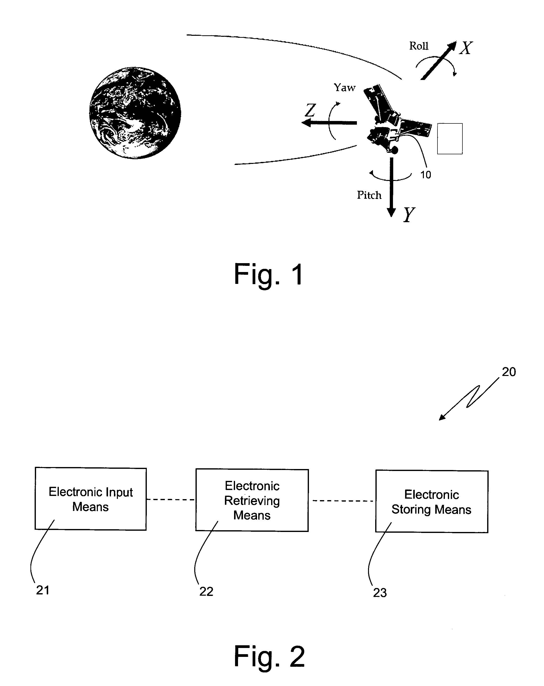
The present invention concerns a satellite image retrieving system that comprises electronic input means, electronic retrieving means, and electronic storing means. The electronic input means are coupled with the electronic retrieving means and are configured to generate input data and to provide the electronic retrieving means with said input data. The input data is indicative of a given geographic area. The electronic retrieving means are coupled with the electronic storing means that are configured to store satellite images, each satellite image stored on the electronic storing means representing a corresponding area of the earth's surface and being associated with corresponding telemetry data generated and associated with the satellite image by a satellite that has remotely sensed the satellite image. The satellite image retrieving system is characterized in that the electronic retrieving means are configured to retrieve a satellite image stored on the storing means from the electronic storing means on the basis of the input data and of the telemetry data associated with the satellite images stored on the electronic storing means.

Description

TECHNICAL FIELD OF THE INVENTION[0001]The present invention concerns retrieving satellite images from an electronic archive.[0002]In particular, the present invention finds advantageous, but not exclusive, application in the management of electronic archives of satellite-remotely-sensed images to which the following description makes explicit reference, but without any resultant loss of generality.STATE OF THE ART[0003]As is known, satellite observation systems, such as COSMO-SkyMed (Constellation of Small Satellites for Mediterranean basin Observation) system, provide high-resolution space images of the Earth that can be used both for institutional / commercial civil purposes and for military purposes.[0004]In particular, the following are few examples of institutional / commercial civil applications that make use of satellite-remotely-sensed images, or simply satellite images:[0005]environmental disaster prevention and management,[0006]ocean and coast control,[0007]agricultural and fo...

Claims


Application Information

Patent Timeline
IPC IPC(8): G06F17/30
CPCG06F16/58G06F16/29
Inventor IOANNONE, ALISSAEUSEBI BORZELLI, GIAN LUCA
Owner TELESPAZIO SPA
Why Eureka
Try Eureka