Grid mapping utility for a GPS device

a gps device and grid technology, applied in wave based measurement systems, navigation instruments, instruments, etc., can solve the problems of wasting a lot of time and money, and it is difficult to achieve outdoor

Active Publication Date: 2006-04-18
DIDI HK SCI & TECH LTD
View PDF5 Cites 26 Cited by
  • Summary
  • Abstract
  • Description
  • Claims
  • Application Information

AI Technical Summary

Problems solved by technology

This can be very hard to achieve outdoors, particularly on uneven terrain or terrain with foliage and other obstructions.
This can waste a lot of time and money.

Method used


Image

  • Grid mapping utility for a GPS device
  • Grid mapping utility for a GPS device
  • Grid mapping utility for a GPS device

Examples


Embodiment Construction

[0019]Working with the grid mapping utility of the present invention is an easy way to log GPS positions and GIS data at waypoints arranged in an evenly spaced grid. This allows a field user to gather measurements made by field sensors such as depth sounders, chemical detectors and magnetometers. The field user can then create contour maps with the necessary density of data while avoiding any gaps that might force the field user to return to the field.

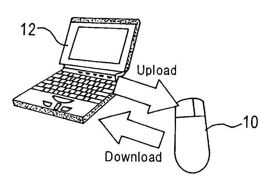
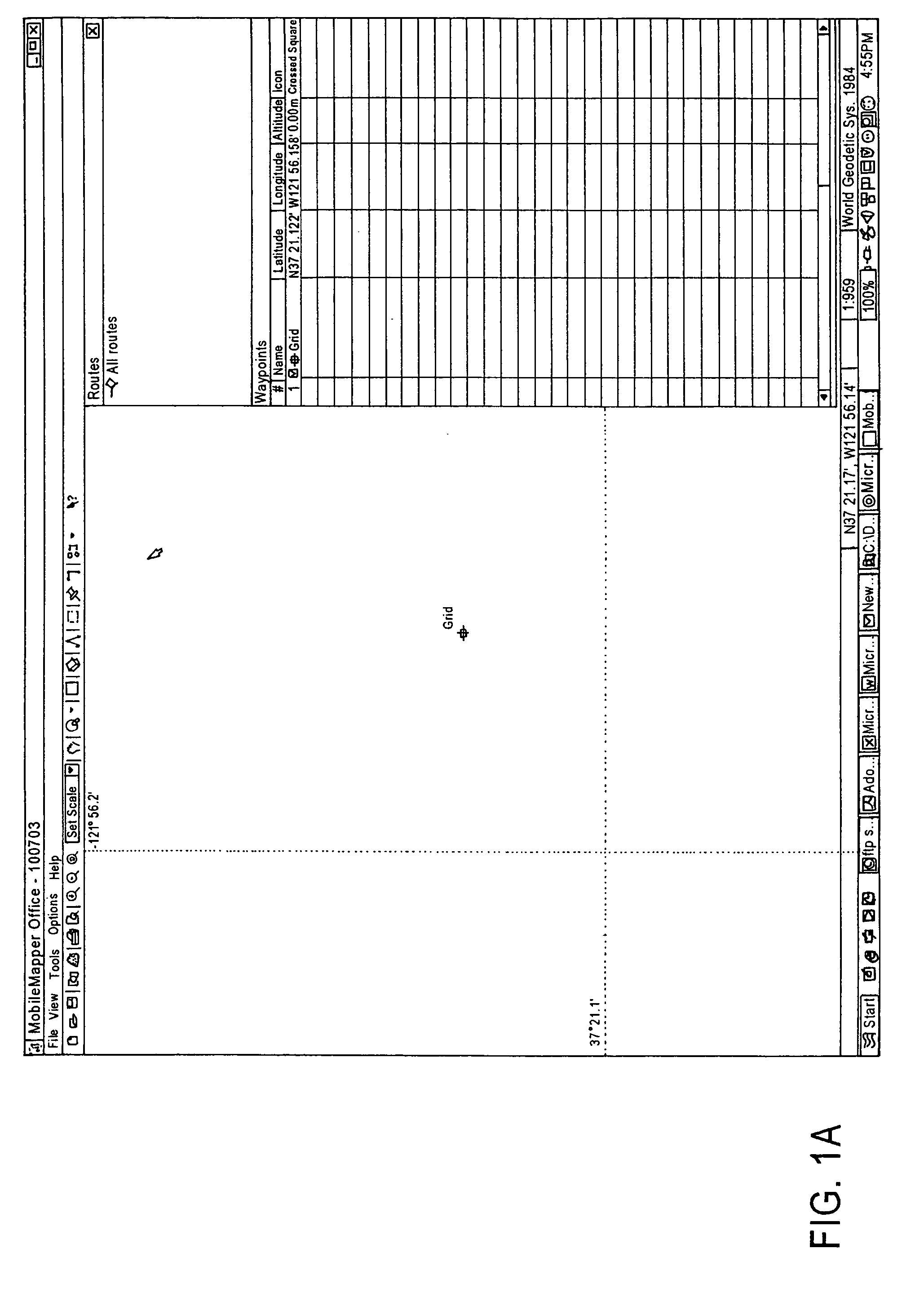
[0020]The grid mapping utility deals with two different grid concepts: grid networks and grid waypoints. Grid networks are arrays of uniformly spaced waypoints oriented in rows and columns. Grid waypoints are navigation features similar to routes. Grid waypoints are created by MobileMapper Office software and uploaded to the receiver. The user navigates to each grid waypoint using MobileMapper and records observations or measurements using MobileMapper data logging software.

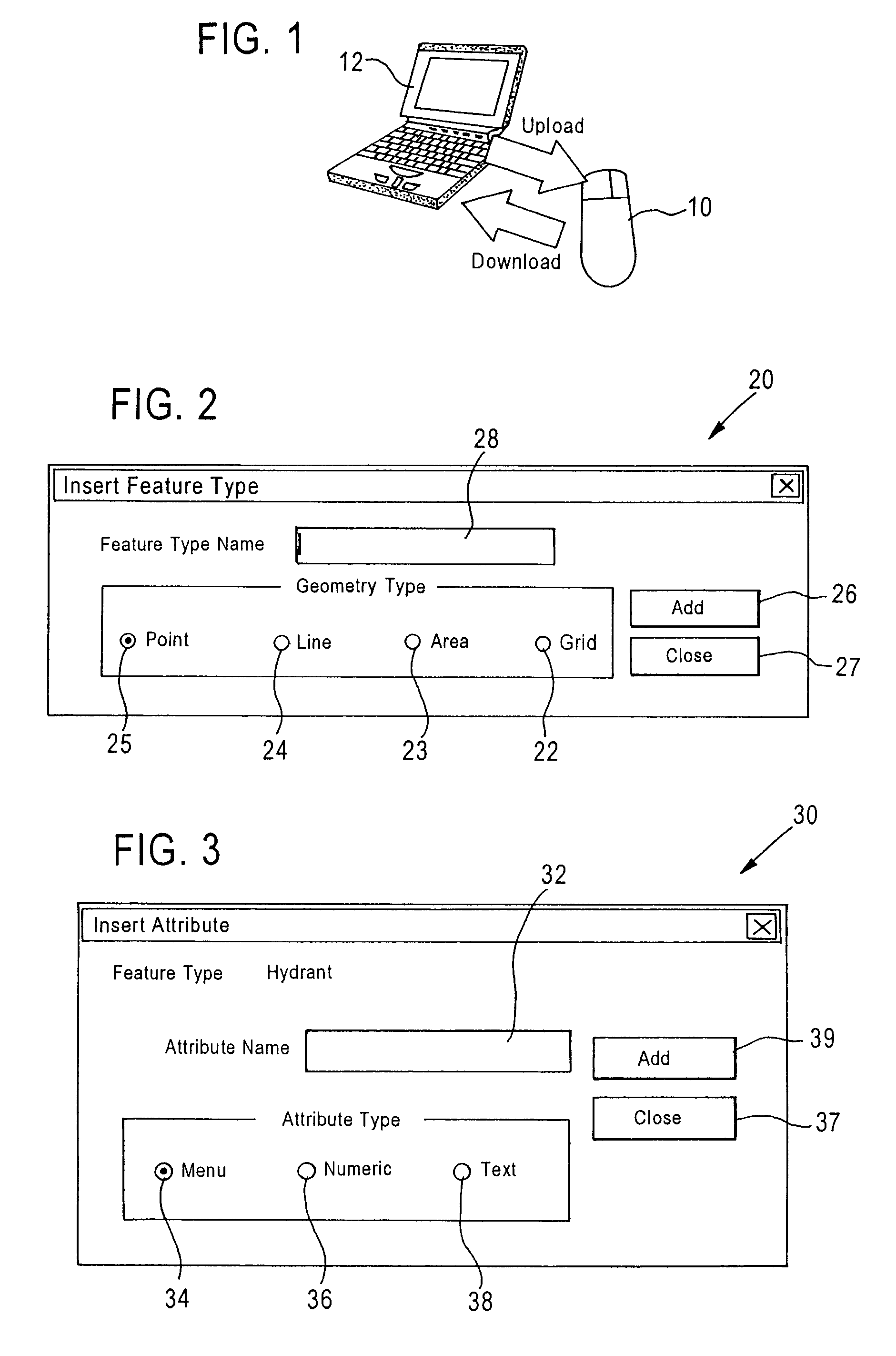
[0021]Like a point, line or area feature, a grid network is a ...


PUM


Abstract

Working with the grid mapping utility of the present invention is an easy way to log GPS positions and GIS data at waypoints arranged in an evenly spaced grid. This allows a field user to gather measurements made by field sensors such as depth sounders, chemical detectors and magnetometers. The field user can then create contour maps with the necessary density of data while avoiding any gaps that might force the field user to return to the field.

Description

FIELD OF THE INVENTION[0001]The present invention relates generally to GPS devices, and more particularly, to hand-held GPS devices using a grid.BACKGROUND OF THE INVENTION[0002]A hand-held GPS mapping system is a navigation and positioning device enabling the user to record both the position and descriptions of physical features being mapped. The receiver can format the data so that the data can be uploaded to a GIS. Such systems are sold by Thales Navigation and named “MobileMapper”. The MobileMapper is a commercially available product made by Thales Navigation and is described in the MobileMapper User Manual published on Jul. 26, 2003, the entirety of which is hereby incorporated by reference in its entirety. Other hand-held products include Trimble's GPS Pathfinder products, Ashtech's Reliance product, and the like.[0003]Although any of these products can record positions and physical measurements from which the user can create a contour map, only MobileMapper can currently crea...

Claims


Application Information

Patent Timeline
Patent Type & Authority Patents(United States)
IPC IPC(8): G01C21/26G01C15/00G01S1/00G01S19/48
CPCG01S19/14G01C15/00
Inventor BRANCH, CHARLES
Owner DIDI HK SCI & TECH LTD
Why Eureka
Try Eureka