

Systems and methods for generating aircraft height data and employing such height data to validate altitude data
a technology of height data and altimeter, which is applied in the field of aircraft altimeter systems, can solve the problems of inability to provide instant height above the ltp, errors in the altitude information provided by the navigation system, and lack of navigation performance accuracy of satellite navigation system altitude information
- Summary
- Abstract
- Description
- Claims
- Application Information
AI Technical Summary
Benefits of technology
Problems solved by technology
Method used
Image

Examples
Embodiment Construction
[0022]In the following description, several specific details are presented to provide a thorough understanding of embodiments of the invention. One skilled in the relevant art will recognize, however, that the invention can be practiced without one or more of the specific details, or in combination with other components, etc. In other instances, well-known implementations or operations are not shown or described in detail to avoid obscuring aspects of various embodiments of the invention.
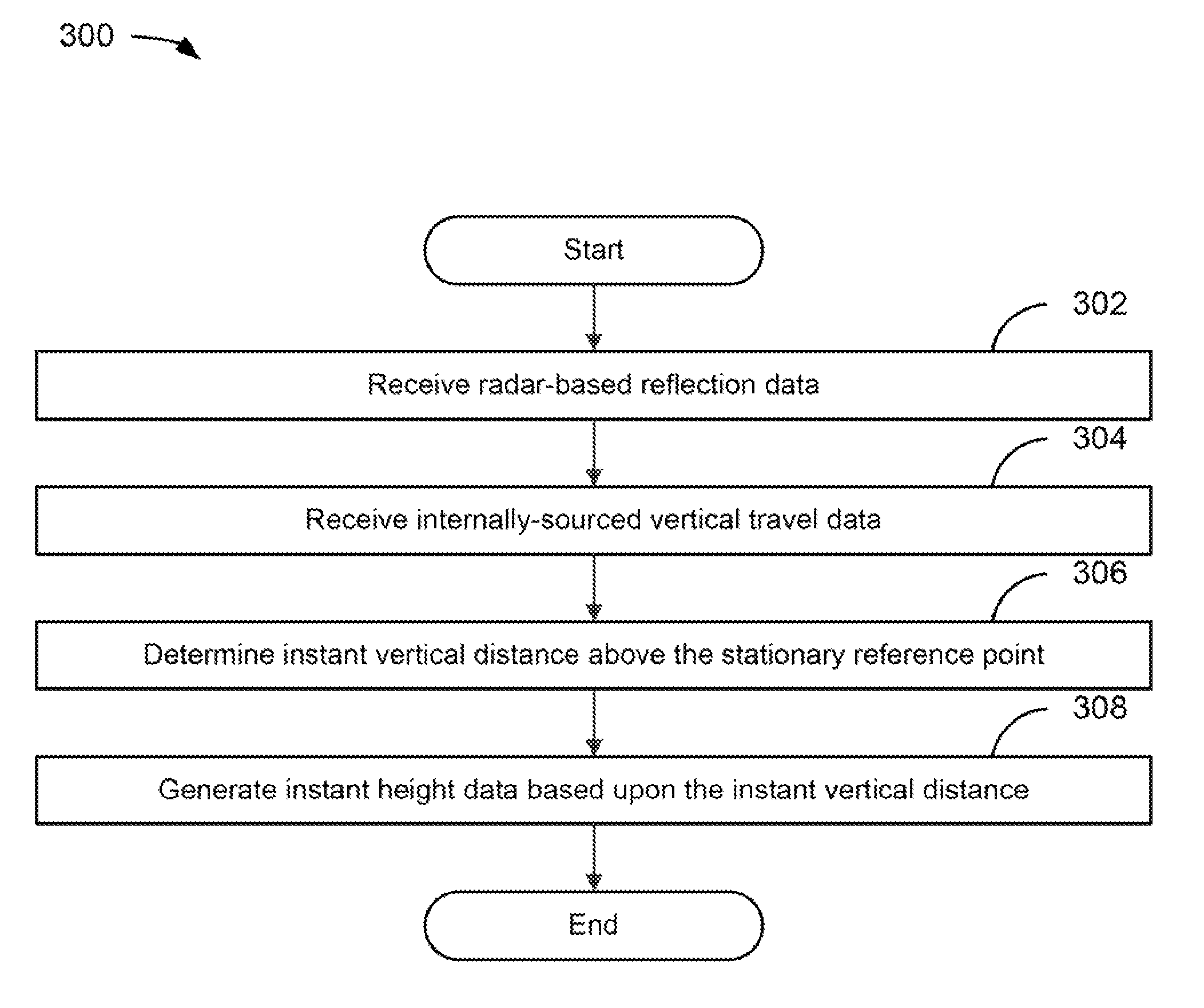
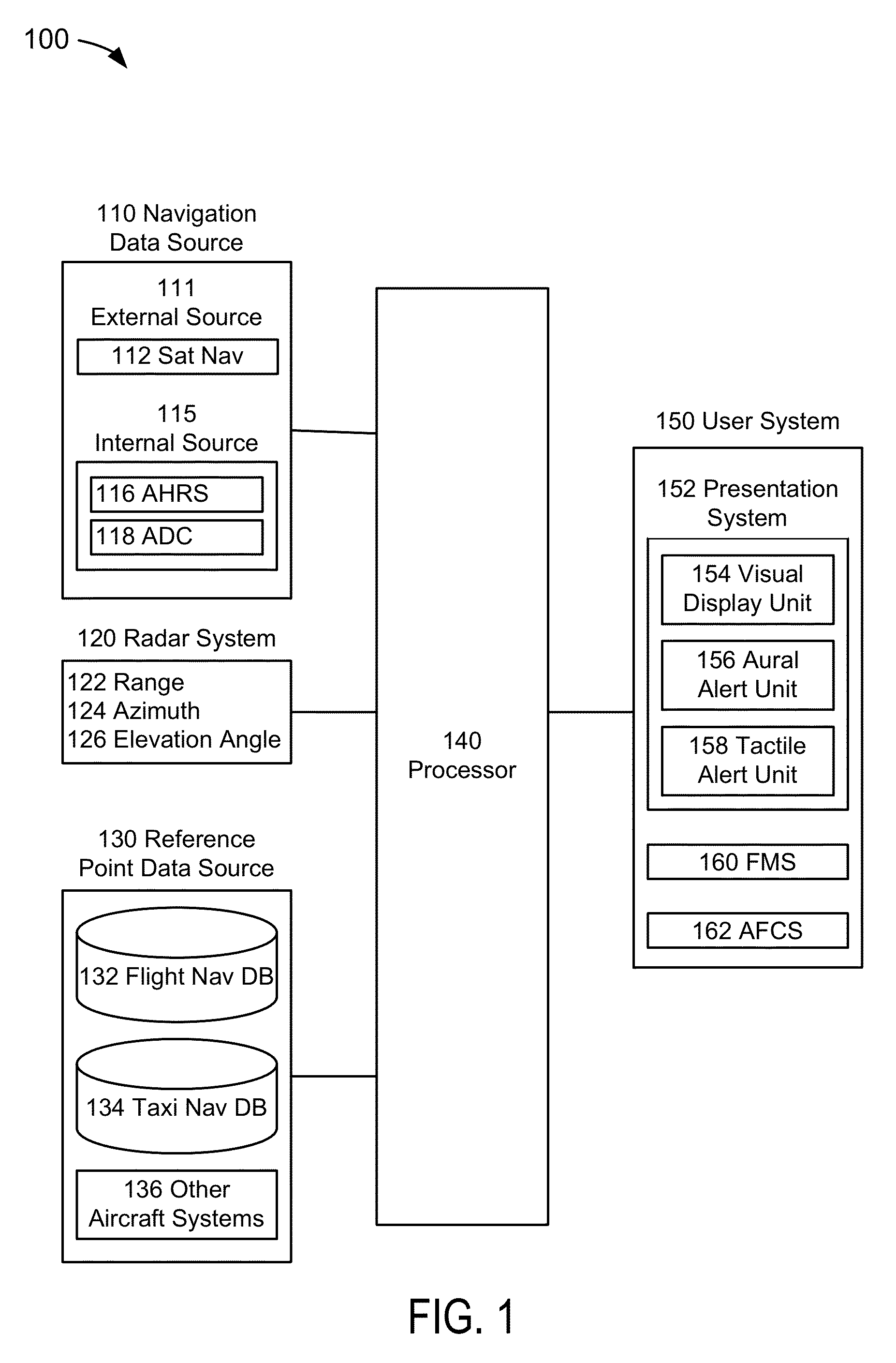
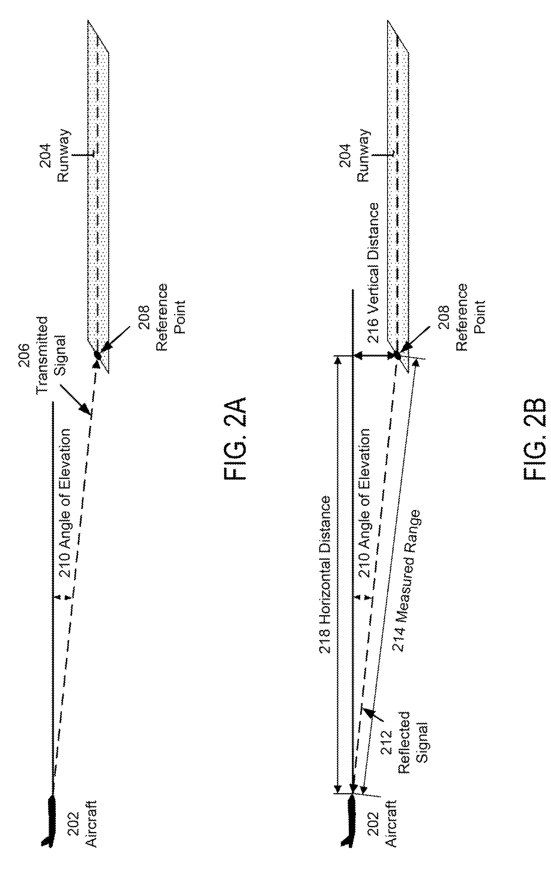
[0023]FIG. 1 depicts a functional block diagram of an aircraft height data generation and validation system 100 suitable for implementation of the techniques described herein. The functional blocks of the system may include a navigation data source 110, an aircraft radar system 120, a reference point data source 130, a processor 140, and a user system 150.
[0024]In an embodiment of FIG. 1, the navigation data source 110 may be comprised of one or more systems for acquiring and providing navigation da...
PUM
 Abstract
Description
Claims
Application Information