Three dimension uniform model construction method of water conservancy hydropower engineering geological information
A technology of engineering geology, water conservancy and hydropower, applied in the construction field of engineering geology 3D model, to achieve simple and fast modeling, convenient model feedback mechanism, and ensure the effect of objective accuracy
- Summary
- Abstract
- Description
- Claims
- Application Information
AI Technical Summary
Problems solved by technology
Method used
Image
Examples
Embodiment Construction
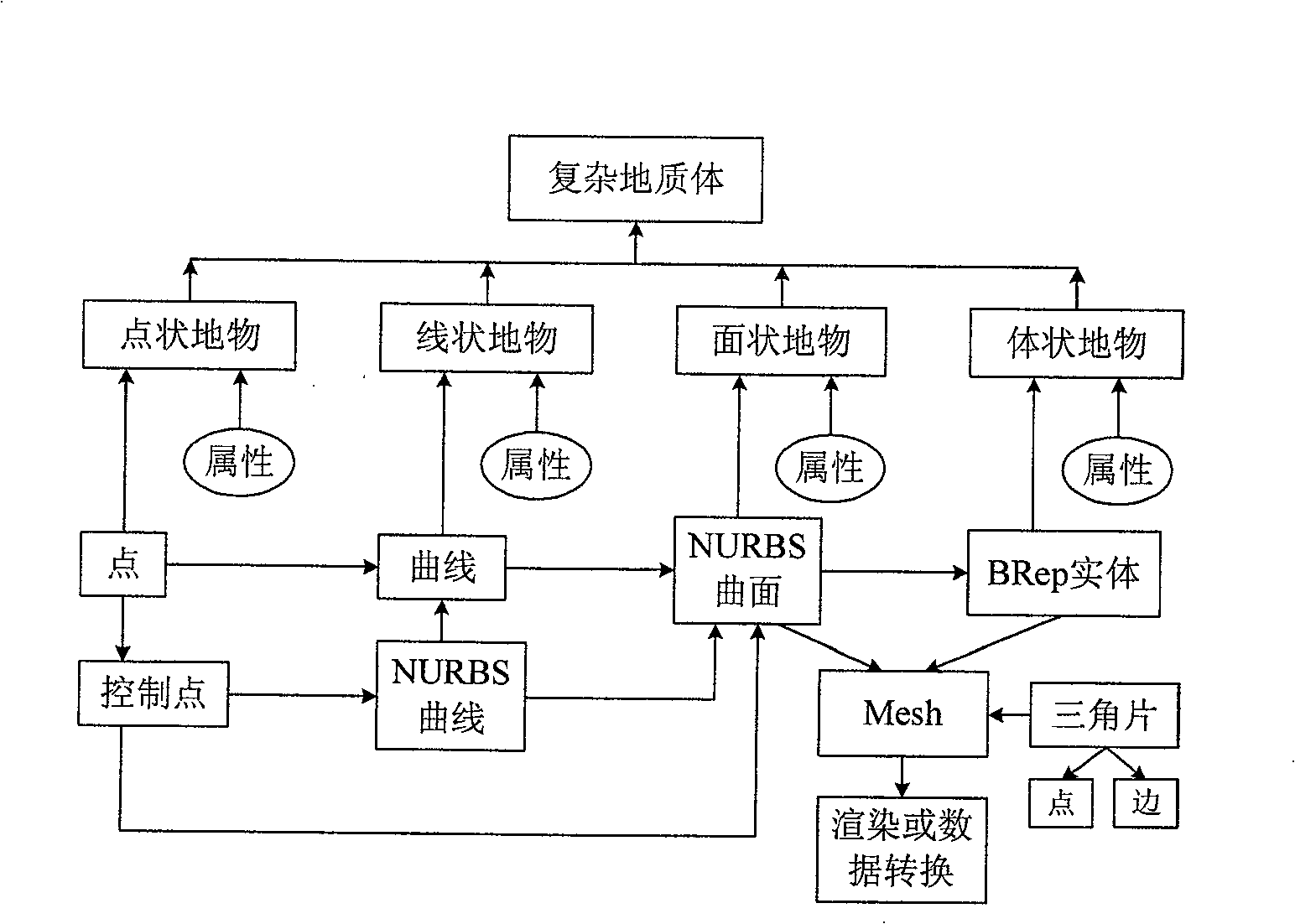
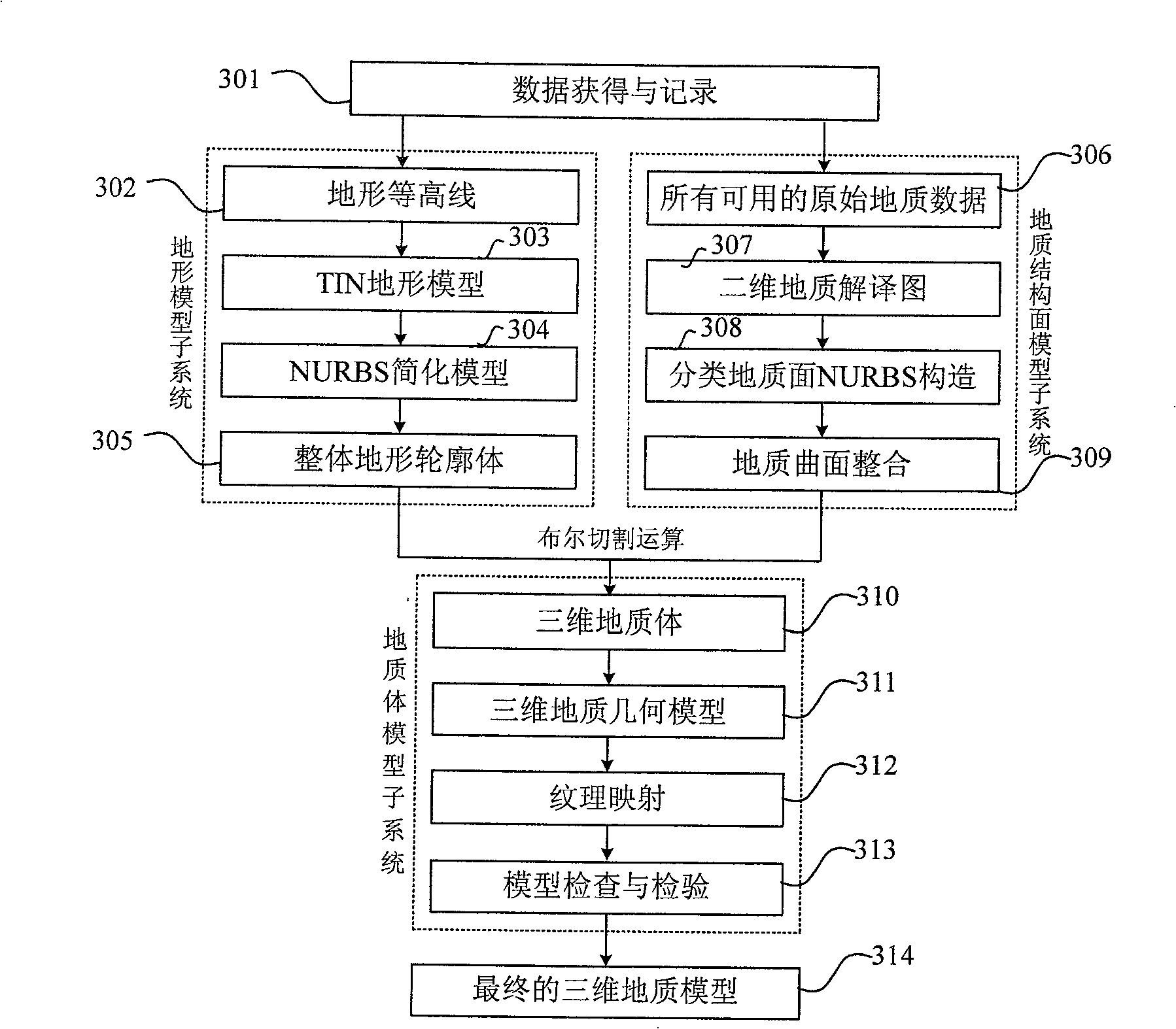
[0019] The method for constructing a three-dimensional unified model of geological information of water conservancy and hydropower projects proposed by the present invention mainly includes the technical solution of the spatial analysis of the geological structure of water conservancy and hydropower projects coupled with multi-source data, and the construction and analysis of the three-dimensional unified model of water conservancy and hydropower engineering geology.
[0020] 1. Spatial analysis of geological structure of water conservancy and hydropower projects coupled with multi-source data, the specific steps include:
[0021] The original geological data of water conservancy and hydropower projects are divided into surface space data, including terrain, geological points, and remote sensing images; and underground space data, including drilling, adit, and geophysical prospecting. According to the requirements of 3D modeling, perform 3D digital processing of terrain, stratu...
PUM
 Abstract
Description
Claims
Application Information
 - R&D
- Intellectual Property
- Life Sciences
- Materials
- Tech Scout
- Unparalleled Data Quality
- Higher Quality Content
- 60% Fewer Hallucinations
Browse by: Latest US Patents, China's latest patents, Technical Efficacy Thesaurus, Application Domain, Technology Topic, Popular Technical Reports.
© 2025 PatSnap. All rights reserved.Legal|Privacy policy|Modern Slavery Act Transparency Statement|Sitemap|About US| Contact US: help@patsnap.com


