
Copyright-protection-service-oriented remote sensing image digital watermarking method

A remote sensing image and digital watermarking technology, applied in image data processing, image data processing, instruments, etc., can solve the problems of poor robustness, watermark information positioning, etc., achieve strong robustness, and improve the effect of anti-geometric attack ability

Inactive Publication Date: 2012-08-22
NANJING NORMAL UNIVERSITY
View PDF0 Cites 0 Cited by
  • Summary
  • Abstract
  • Description
  • Claims
  • Application Information

AI Technical Summary

Problems solved by technology

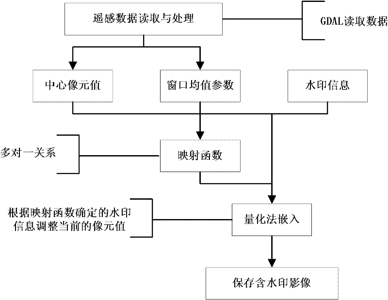
[0009] The purpose of the present invention is to propose a remote sensing image data based on mapping mechanism in view of the problems that current remote sensing image watermarking technology cannot solve watermark information location, is difficult to resist geometric attacks such as cropping at any position and changing image size rotation, and has poor robustness. The digital watermarking method makes the watermarking algorithm have good robustness against attacks such as cropping, rotation, translation, scaling, distortion, noise, filtering, etc.

Method used


Image

  • Copyright-protection-service-oriented remote sensing image digital watermarking method
  • Copyright-protection-service-oriented remote sensing image digital watermarking method
  • Copyright-protection-service-oriented remote sensing image digital watermarking method

Examples


Embodiment Construction

[0045] The present invention will be further described in detail below with reference to the drawings and embodiments.

[0046] In this embodiment, single-band remote sensing image data is selected as the experimental data. For the entire process of data reading, preprocessing, watermark information generation, watermark embedding, watermark data storage, watermark detection, and detection result output, the present invention is presented An embodiment further explains the present invention in detail.

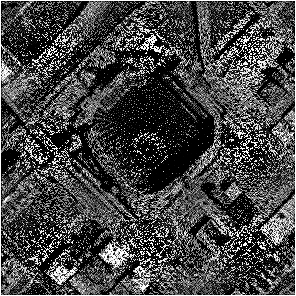
[0047] Such as Image 6 In this embodiment, a 1700×1000 single-channel remote sensing image data is selected as the experimental data, and the data format is geotif.

[0048] 1. Watermark information generation:

[0049] Step 1: Input the watermark information to be embedded. The watermark information in this embodiment is: Jiyin watermark.

[0050] Step 2: Use a pseudo-random sequence generator to generate random numbers, the random number generated in this embodiment is: -89564642472....


PUM


Abstract

The invention discloses a mapping-mechanism-based remote sensing image digital watermark embedding and detection algorithm, and belongs to the technical field of geographic information copyright protection. Based on analysis of geometric attacks of a remote sensing image, after the image is cut, the image element value of the image is not changed, and only the coordinate position is moved; and byexpanding mapping parameters, a many-to-one mapping relationship between the remote sensing image data and the watermark information is established, and the embedded position of a watermark is determined. By the method, the problem of asynchronism of watermark information is solved by fully using the properties of the image element value of the remote sensing image before and after the geometric attacks, so that the robustness of the algorithm is greatly improved, and the problem that the conventional remote sensing image algorithm cannot resist the geometric attacks such as cutting, rotationand the like is solved.

Description

Technical field [0001] The invention belongs to the field of geographic information copyright protection, and specifically relates to a digital watermark embedding and detection method adopting a mapping mechanism for remote sensing image data, so as to improve the ability of the remote sensing image digital watermark algorithm to resist geometric attacks. Background technique [0002] Remote sensing imagery is an important basic surveying and mapping result and one of the data sources for national and provincial basic surveying and mapping guarantee services. It has gradually become the main data source for geospatial information acquisition. With the deepening of the construction of national spatial data infrastructure and the maturity and wide application of geographic information system (GIS) technology, remote sensing imagery has been used in major national project construction, military reconnaissance, dynamic monitoring of important targets, disaster emergency response and ...

Claims


Application Information

Patent Timeline
Patent Type & Authority Patents(China)
IPC IPC(8): G06T1/00
Inventor 任娜朱长青曲东方
Owner NANJING NORMAL UNIVERSITY
Learn More