

Spaceborne laser altimeter in-orbit moon elevation detection uncertainty evaluation method
A technology of laser altimeter and certainty, which is applied in the direction of measuring devices and instruments, and can solve problems that have not yet been systematically studied.
- Summary
- Abstract
- Description
- Claims
- Application Information
AI Technical Summary
Problems solved by technology
Method used
Image

Examples
Embodiment Construction
[0048] The present invention will be further described below in conjunction with accompanying drawing:
[0049] A method for evaluating the uncertainty of on-orbit lunar elevation detection by a spaceborne laser altimeter, characterized in that the specific steps are as follows:
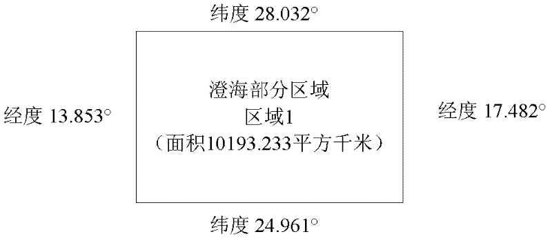
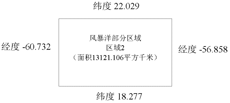
[0050] Obtaining laser altimeter elevation data: The trajectory of my country's Chang'e-1 satellite is a polar lunar orbit, and the trajectory is a circle around the moon. The laser altimeter on board samples one elevation point data every second. The scientific exploration data of the laser altimeter during the lunar exploration of Chang'e-1 totaled 1,400 tracks, forming 1,400 orbital files. The orbital file information includes the elevation sampling time of the laser altimeter. , The lunar longitude, latitude, and elevation data information of the sampling point.
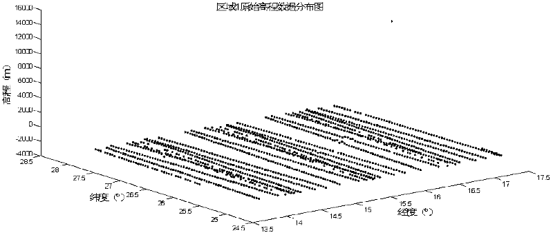
[0051] Step 1: Select the area where the topography of the lunar surface changes flatly from the laser altimeter full lunar elevation...
PUM
 Abstract
Description
Claims
Application Information