Line feature map creation method of mobile robot based on laser range finder

A technology of laser range finder and mobile robot, which is applied in the directions of maps/plans/charts, instruments, image enhancement, etc. It can solve the problems of complex calculation, large amount of calculation in Hough space, and many restrictions, so as to achieve simple calculation and reduce calculation The effect of high quantity and accuracy

Inactive Publication Date: 2013-07-10
NANJING UNIV OF POSTS & TELECOMM
View PDF3 Cites 32 Cited by
  • Summary
  • Abstract
  • Description
  • Claims
  • Application Information

AI Technical Summary

Problems solved by technology

The principle of the least squares method is simple, intuitive to use but more complicated to calculate
For the extraction of feature corners, the Hough transform is introduced, which realizes the transformation from image space to parameter space. Compared with the general determination of wall corners by the slope between line segments, it has goo...

Method used


Image

  • Line feature map creation method of mobile robot based on laser range finder
  • Line feature map creation method of mobile robot based on laser range finder
  • Line feature map creation method of mobile robot based on laser range finder

Examples


Embodiment Construction

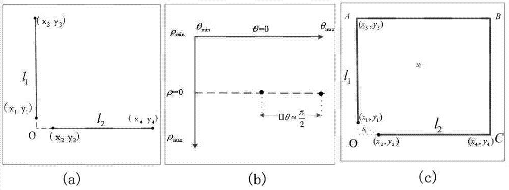
[0033] Such as Figure 5As shown, the present invention is about a method for creating a line feature map of a mobile robot based on a laser range finder, which specifically includes the following steps:

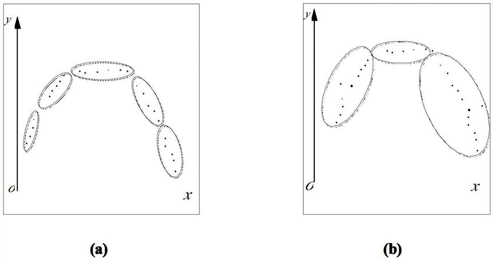
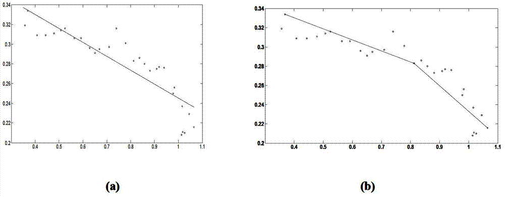
[0034] When the laser range finder scans the 180-degree range in front, due to the limitation of the range of the laser range finder and the influence of external noise, there are noise points in the creation of the local map. Firstly, mean filtering is performed on the noise points in the measurement data of the laser rangefinder, and after the purpose of filtering the noise is achieved, the data points of the laser scanning are segmented. Specifically include the following steps:

[0035] Step 1: initialize the mobile robot, start the laser rangefinder to scan the external environment;

[0036] Step 2: by scanning the laser data, find the distance between the adjacent data points and select the noise points therein;

[0037] Step 3: According to the two points closest t...


PUM


Abstract

The invention discloses a line feature map creation method of a mobile robot based on a laser range finder and belongs to the technical field of mobile robot map creation. The line feature map creation method of the mobile robot based on the laser range finder includes the following steps: firstly, starting the laser range finder to scan an external environment, then preprocessing scanned laser data through an average filtering method to filter noise points; utilizing exponential distribution to approximate posterior distribution of laser data points, conducting region segmentation on the laser measurement data points through a dynamic threshold method, dividing the laser measurement data points into N region pieces after the region segmentation, and conducting segment fitting on the data points in the regions through a golden section method; and extracting feature corners through a method of combining Hough transformation and an area threshold value, achieving transition from an image space to a parameter space, building local environment maps, and achieving the fusion of the local environment maps by utilizing a sector matching method. The line feature map creation method of the mobile robot based on the laser range finder has the advantages of being easy in calculation and high in accuracy and improving rapidity of algorithm execution.

Description

technical field [0001] The invention relates to a method for creating a map by a mobile robot based on a laser rangefinder, in particular to a method for creating a line feature map based on a laser rangefinder, and belongs to the technical field of map creation for mobile robots. Background technique [0002] Mobile robots are usually able to locate and navigate based on environmental maps, so map creation is a basic problem in the study of mobile robots. Usually, the representation methods of environment map are: grid map, topological map, and feature map. Grid maps are easy to create and understand, but when the environment space is relatively large, the storage capacity of the map will increase, which will increase the complexity of time and space; when the robot is in an unstructured environment, the topological map will bring It is difficult to locate the robot. For example, it is difficult to determine whether it is the same node through the topological map in places...

Claims


Application Information

Patent Timeline
IPC IPC(8): G09B29/00G06T5/00G06T7/00
Inventor 梁志伟邵长勉
Owner NANJING UNIV OF POSTS & TELECOMM
Why Eureka
Try Eureka