
GMS (groundwater modeling system)-based forecast method for ground water seepage fields at different mining levels of mining area

A technology of groundwater seepage and prediction method, which is applied in the field of groundwater seepage field prediction, and can solve the problems of inability to predict three-dimensional groundwater seepage field, little reference significance, and weak visualization function.

Active Publication Date: 2013-07-31
CENT SOUTH UNIV
View PDF2 Cites 26 Cited by
  • Summary
  • Abstract
  • Description
  • Claims
  • Application Information

AI Technical Summary

Problems solved by technology

The traditional underground seepage field prediction models lack accurate quantitative analysis, most of them are two-dimensional prediction models, and the visualization function is not strong enough to form a three-dimensional groundwater seepage field prediction in different depth strata. Underground mining is an industrial activity carried out in three-dimensional space. Different mining middle sections have different rock properties, groundwater distribution conditions and mineral mining middle sections, and their dewatering strengths are also different. Therefore, the traditional two-dimensional prediction model has little reference value for mines to determine the overall water control plan and mining plan. It is urgent to propose a A method that can accurately predict the seepage field of groundwater under different mining intensities in mining areas

Method used


Image

  • GMS (groundwater modeling system)-based forecast method for ground water seepage fields at different mining levels of mining area
  • GMS (groundwater modeling system)-based forecast method for ground water seepage fields at different mining levels of mining area
  • GMS (groundwater modeling system)-based forecast method for ground water seepage fields at different mining levels of mining area

Examples


Embodiment Construction

[0029] The present invention will be further described below in conjunction with the accompanying drawings and specific embodiments.

[0030] Taking a certain mining area as an example, a kind of groundwater seepage field prediction method based on GMS in different mining areas of the mining area proposed by the present invention is used to predict the groundwater seepage field of the mining area under different mining areas. The specific steps are as follows:

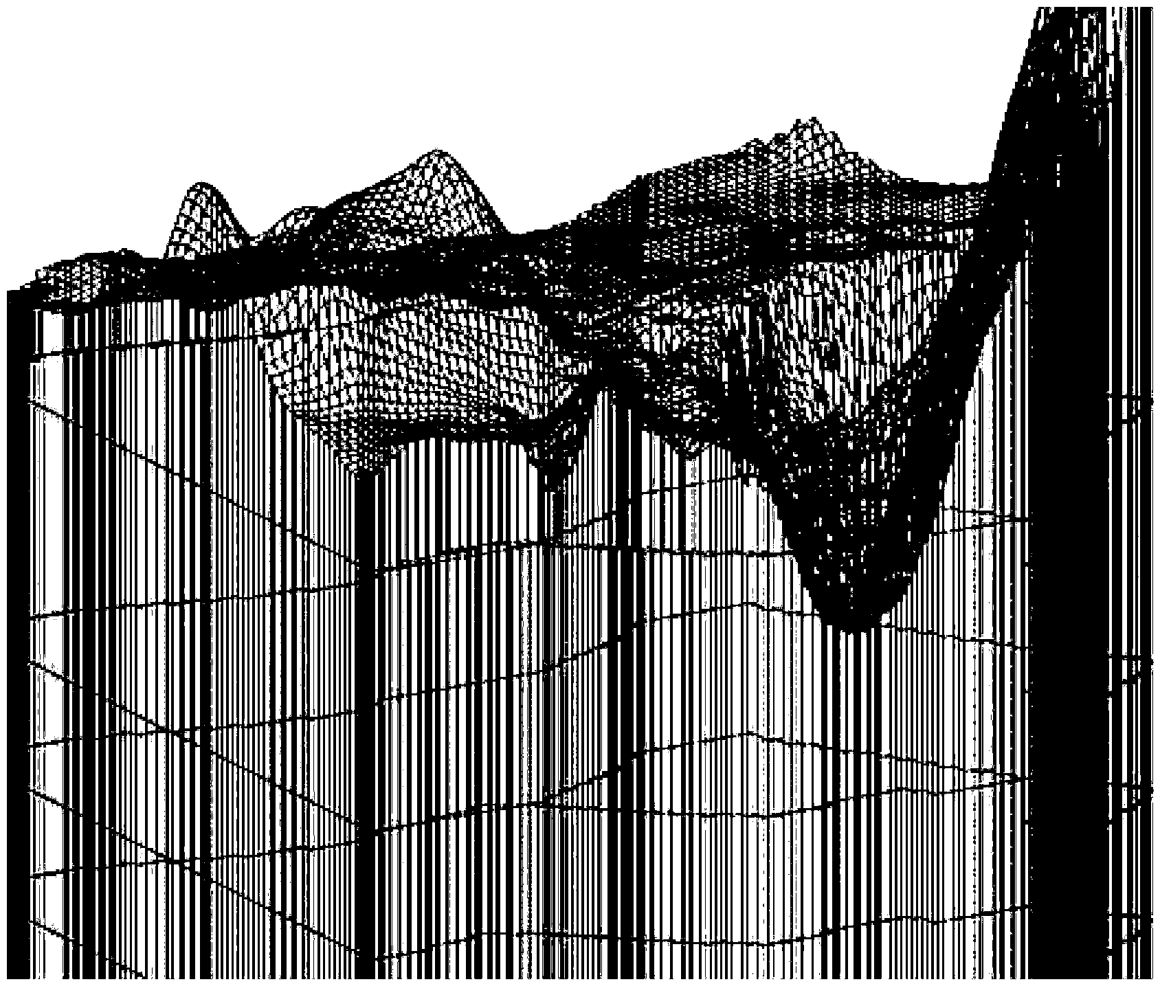
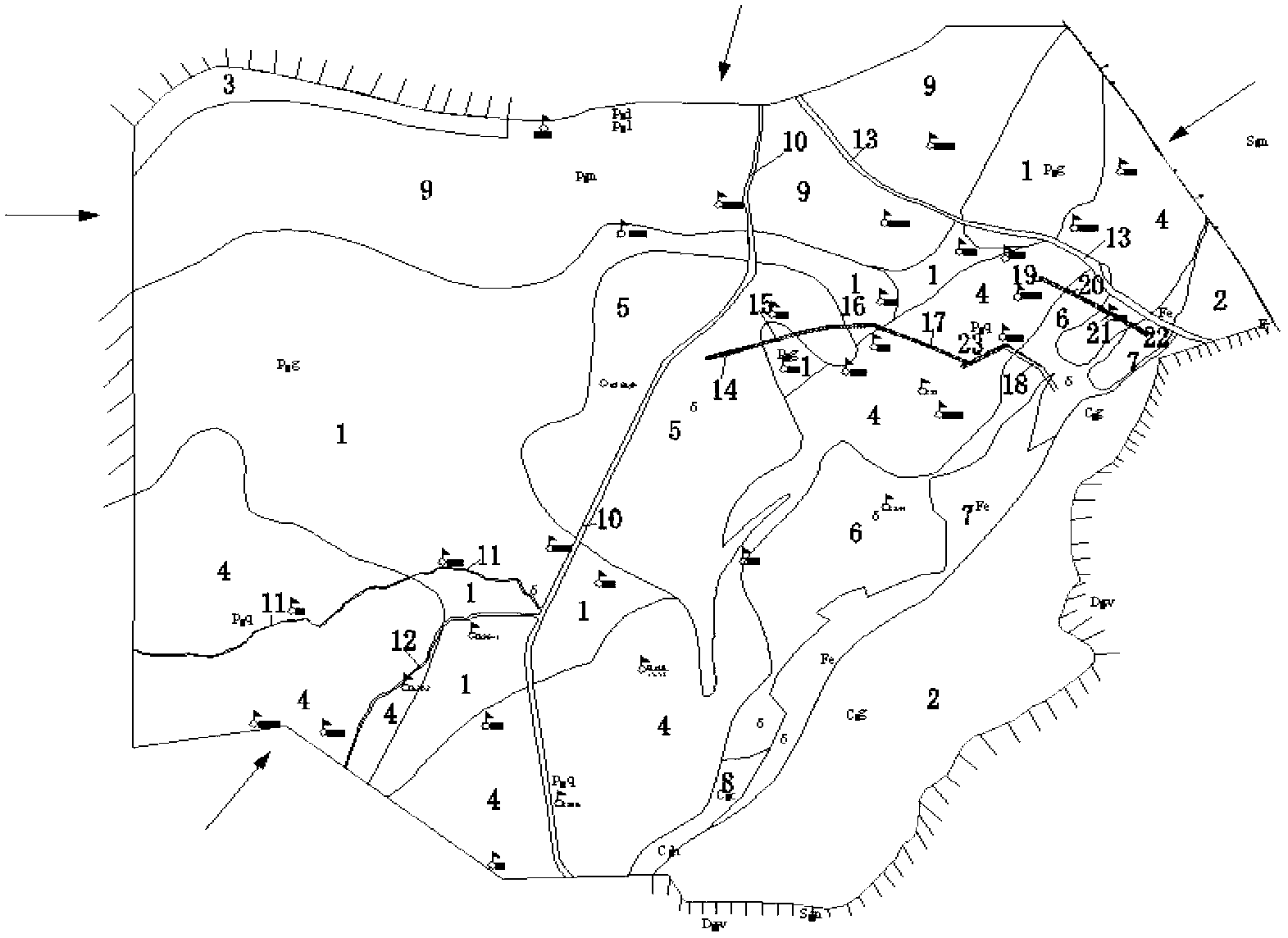
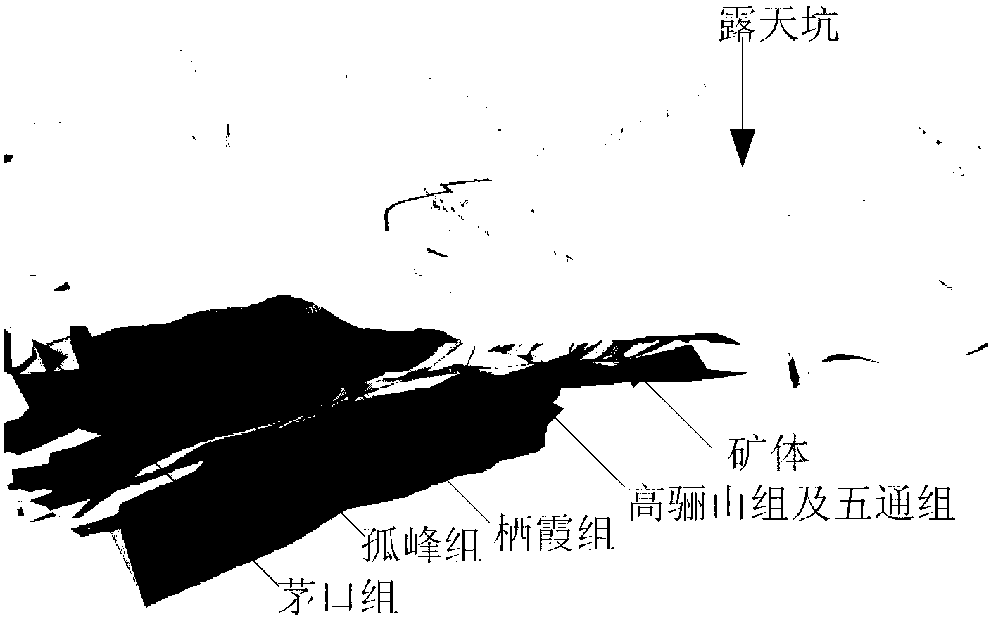
[0031] Step 1: First, use the Recharge module in the MODFLOW software to determine the boundary conditions of the mining area, the aquifer, the spatial form of the water-bearing body, the water-rich partition, and the distribution of the underground rock formation according to the geological conditions of the mining area to be tested. The water boundary, the side boundary is a variable flow boundary, and Darcy's law is used to calculate the flow of each boundary; for example figure 1 as shown, figure 1 The graphic bou...


PUM


Abstract

The invention discloses a GMS-based (groundwater modeling system) forecast method for ground water seepage fields at different mining levels of a mining area. The method comprises the steps that through performing analytical investigation on hydrogeological conditions of an area, boundary conditions and water containing bodies are generalized, ground water runoff conditions are analyzed, and coefficients of each source sink term are determined; the GMS is adopted to perform finite difference grid division on a simulation area, an initial water head is determined based on the water level of an observation well, hydrological parameters of each simulation sub-area are determined based on a pumping test and the provided data, hydrological module types of the source sink terms in the area are analyzed, assignment is performed on a corresponding hydrogeological map layer by combining the determined source sink term coefficients, and then a subarea map of the osmotic coefficients at different mining levels is obtained; prediction models for ground water seepage fields of a mining area are established based on GMS, and the observation data is utilized to adjust the hydrogeological parameters of the models, and finally, simulation is performed by combining with the discharge capacities at different mining levels to obtain the ground water seepage fields at different mining levels. The method has the advantages of convenience in operation, excellent three-dimensional visualization function and reliable result.

Description

technical field [0001] The invention relates to a GMS-based method for predicting groundwater seepage fields in different mining middle sections of mining areas. Background technique [0002] The water content of underground rock formations has a significant impact on the safety of underground mining and the choice of mining schemes, and the groundwater sinking funnel formed by mining to drain groundwater may cause surface collapse. Determination and selection of mining schemes play a big role. The traditional underground seepage field prediction models lack accurate quantitative analysis, most of them are two-dimensional prediction models, and the visualization function is not strong enough to form a three-dimensional groundwater seepage field prediction in different depth strata. Underground mining is an industrial activity carried out in three-dimensional space. Different mining middle sections have different rock properties, groundwater distribution conditions and miner...

Claims


Application Information

Patent Timeline
IPC IPC(8): G06Q10/04
Inventor 邓红卫周科平朱哲胡振襄贾明吴彦霖肖雄高峰杨念哥胡建华李杰林潘常甲刘恒亮
Owner CENT SOUTH UNIV
Learn More