Method for monitoring mass concentration of near-surface fine particulate matter by satellite remote sensing

A technology of mass concentration and fine particles, which is used in measurement devices, particle suspension analysis, suspension and porous material analysis, etc. It can solve the problems of large monitoring deviation, accumulation of errors, and inability to effectively adapt to improve accuracy and inversion. The effect of accurate data

Inactive Publication Date: 2015-01-14
BEIJING MUNICIPAL ENVIRONMENTAL MONITORING CENT
View PDF3 Cites 12 Cited by
  • Summary
  • Abstract
  • Description
  • Claims
  • Application Information

AI Technical Summary

Problems solved by technology

However, there are two main problems in the current satellite retrieval method: 1) in the retrieval of PM 2.5 There are a large number of intermediate variables in the process, and there will be a certain amount of error in the process of obtaining these variables, and the obtained PM 2.5 The mass concentration leads to the accumulation and amplification of errors; 2) The historical data set can be subdivided into the seasonal scale at most, which cannot effectively adapt to the daily process inversion, resulting in a large deviation between the inversion results and the actual monitoring in the business work

Method used


Image

  • Method for monitoring mass concentration of near-surface fine particulate matter by satellite remote sensing
  • Method for monitoring mass concentration of near-surface fine particulate matter by satellite remote sensing

Examples


Embodiment 1

[0037] A method of using satellite remote sensing to monitor the mass concentration of fine particulate matter near the ground, using the visible light and infrared light channels carried on the satellite to obtain satellite monitoring data of each monochromatic light;

[0038] Step 1: Calculate the apparent albedo of each monochromatic light through the satellite monitoring data of each monochromatic light;

[0039] What needs to be explained here is that the monochromatic light here is red light with a wavelength of 0.66 μm, blue light with a wavelength of 0.47 μm, and near-infrared light with a wavelength of 2.1 μm. The color light channel receives red light, the blue light monochromatic light channel receives blue light, and the near-infrared light monochromatic light channel receives near-infrared light.

[0040] This method uses the satellite to receive the red light with a wavelength of 0.66 μm, the blue light with a wavelength of 0.47 μm and the near-infrared light wit...

Embodiment 2

[0064] Compared with embodiment 1, embodiment 2 is further improved on the basis of embodiment 1, and the point of improvement is that the number of monitoring points is several (such as 10, 20, 35, 50, etc.).

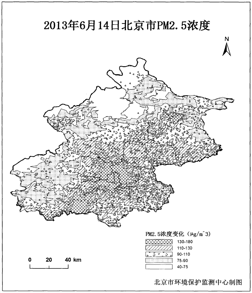
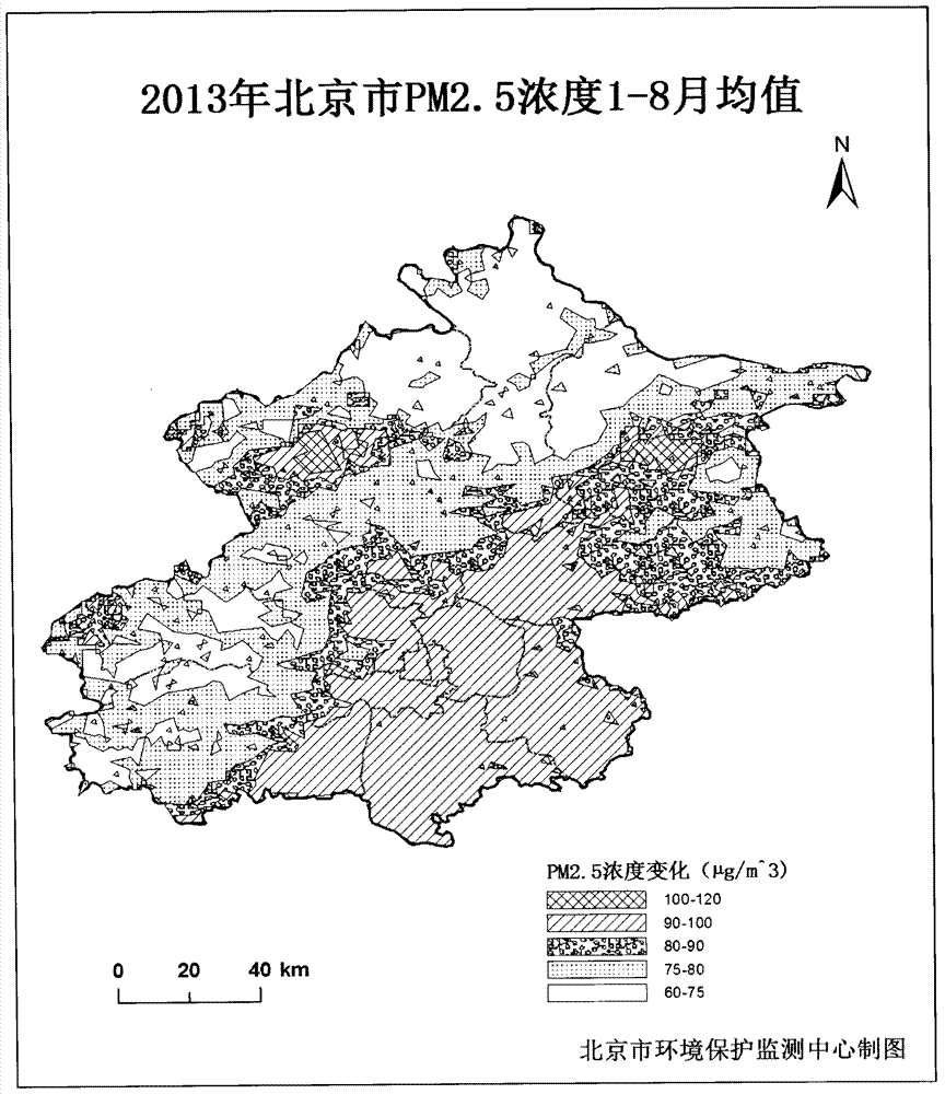
[0065] Taking Beijing as an example, several monitoring points are distributed in different areas of Beijing according to the actual situation.

[0066] The "actual situation" mentioned here means that it can be evenly distributed in the entire area of ​​Beijing, or it can be distributed according to the actual situation (areas with a large flow of people have a higher density of monitoring points than areas with a small flow of people).

[0067] Correction method:

[0068] Statistics of PM monitored by each monitoring point 2.5 Mass concentration (PM), and these values ​​correspond to the data of the aerosol extinction contribution corresponding to the point, and plot it on a two-dimensional coordinate system.

[0069] Further, according to the points drawn on the t...

Embodiment 3

[0072] The difference between embodiment 3 and embodiment 2 is only that the correction method is different,

[0073] Correction method:

[0074] PMs monitored in the field 2.5 The mass concentration is PM S , according to the coefficient k, the satellite retrieved PM of each field monitoring point is calculated, and the PM of each field monitoring point S One-to-one correspondence with PM, and draw it on the two-dimensional coordinate system, according to PM S / PM draws a point on the two-dimensional coordinate system, fits a linear straight line on the two-dimensional coordinate system, and calculates PM based on the linear straight line S The relational formula between PM and PM S = a·PM+b.

[0075] PM in this method S It is basically equal to the value of PM.

[0076] What needs to be emphasized here is that this method is preferably used in a certain area (such as Beijing, Tianjin, Shanghai, Nanjing, Hangzhou, Chongqing, Fuzhou, Guangzhou, Shenzhen, Wuhan, etc.). ...


PUM

PropertyMeasurementUnit
wavelengthaaaaaaaaaa

Abstract

The invention relates to a method for monitoring mass concentration of near-surface fine particulate matter by satellite remote sensing. The method comprises the following steps: acquiring radiation values of visible light and near-infrared light channels of a satellite sensor; calculating the appearance albedo of each piece of monochromatic light through the radiation value data of the monochromatic light; removing earth surface and atmosphere molecule contribution by virtue of the appearance albedo of each piece of monochromatic light, and calculating to obtain extinction contribution quantity of aerosol of each pixel; acquiring a PM2.5 mass concentration numerical value monitored on the surface, and performing linear fitting on the PM2.5 mass concentration numerical value with the extinction contribution quantity of aerosol measured by a corresponding satellite at a monitoring point, thereby obtaining a linear relation between the monitored PM2.5 mass concentration and the extinction contribution quantity of aerosol observed by the satellite; and finally, obtaining the satellite PM2.5 mass concentration of each pixel according to the linear relation. According to the method, the regional distribution and transmission change of the mass concentration of the near-surface particulate matter can be intuitively obtained, and a data support is provided for atmospheric pollution control.

Description

technical field [0001] The invention relates to a method for monitoring the mass concentration of fine particles near the ground by using satellite remote sensing, and belongs to the field of atmospheric monitoring. Background technique [0002] NASA's Earth Observing System (EOS) launched two environmental remote sensing satellites TERRA and AQUA successively, both of which are equipped with the Moderate Resolution Imaging Spectrometer (MODIS), and its 1, 3, 7 and 20 bands can retrieve gas Sol extinction contribution and other data. Through a large number of aircraft experiments, Kaufman et al. found that for the densely vegetated surface with low albedo, there is a good conclusion that the albedo of the 2.13 μm near-infrared channel is well correlated with the albedo of the 0.47 μm and 0.66 μm visible light channels, and has been successfully applied to MODIS. Terrestrial Aerosol Retrieval. [0003] In recent years, the advantages of MODIS satellites in aerosol monitorin...

Claims


Application Information

Patent Timeline
Patent Type & Authority Applications(China)
IPC IPC(8): G01N15/06
Inventor 李令军李倩
Owner BEIJING MUNICIPAL ENVIRONMENTAL MONITORING CENT
Why Eureka
Try Eureka