Earthquake infrared radiation anomaly characteristic multi-angle remote sensing extraction method based on robustness satellite data analysis technology
A technology of infrared radiation and satellite data, applied in image analysis, image data processing, instruments, etc., can solve problems such as large uncertainties and differences
- Summary
- Abstract
- Description
- Claims
- Application Information
AI Technical Summary
Problems solved by technology
Method used
Image
Examples
Embodiment Construction
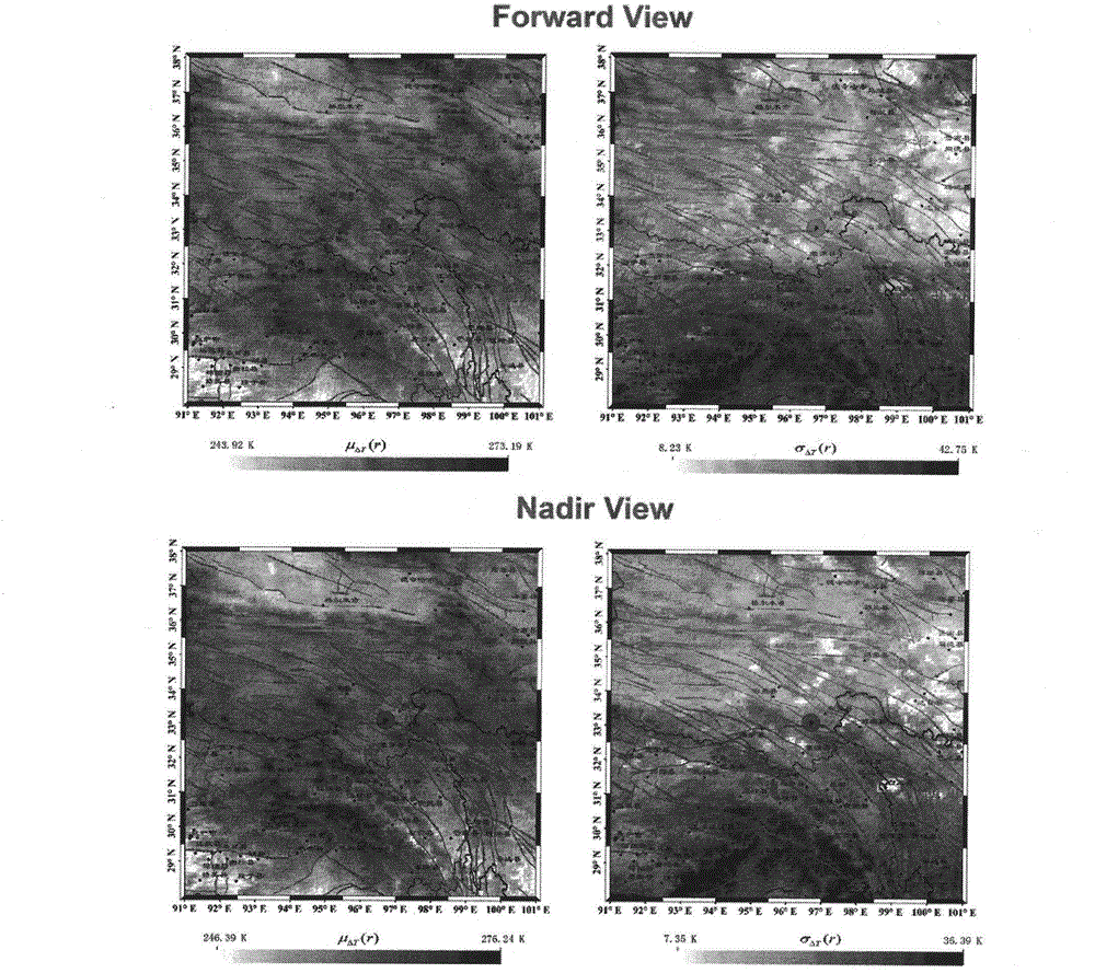
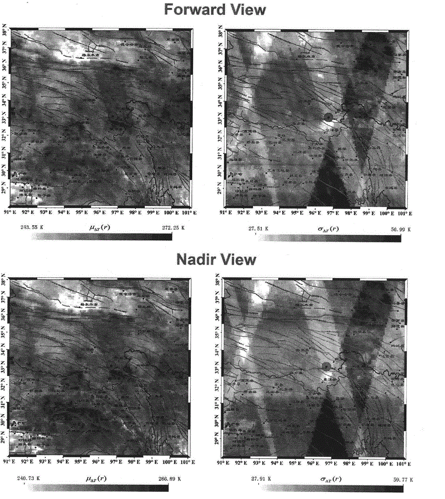
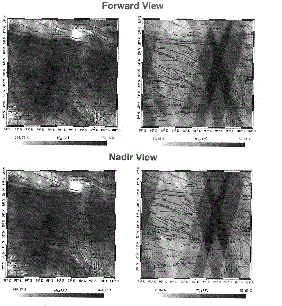
[0023] In the following, in conjunction with the accompanying drawings, taking the infrared multi-angle AATSR satellite data as an example, and taking the Yushu earthquake as an example, the multi-angle remote sensing extraction method for seismic infrared radiation anomalies based on the robust satellite data analysis technology of the present invention will be further described.
[0024] 1. Single infrared image pixel difference calculation
[0025] The purpose of calculating the difference between infrared image pixels is to eliminate the impact of the increase in surface temperature caused by climate change or seasonal alternation on the detection and analysis of infrared radiation anomalies. Explain that taking the AATSR data as an example, the cloud elimination processing and atmospheric correction are carried out on the infrared image, and the land and ocean infrared images are processed separately by using the land and water separation mask. The specific process is as f...
PUM
 Abstract
Description
Claims
Application Information
 - R&D
- Intellectual Property
- Life Sciences
- Materials
- Tech Scout
- Unparalleled Data Quality
- Higher Quality Content
- 60% Fewer Hallucinations
Browse by: Latest US Patents, China's latest patents, Technical Efficacy Thesaurus, Application Domain, Technology Topic, Popular Technical Reports.
© 2025 PatSnap. All rights reserved.Legal|Privacy policy|Modern Slavery Act Transparency Statement|Sitemap|About US| Contact US: help@patsnap.com


