Under-forest illumination intensity estimation method based on remote sensing
A light intensity and remote sensing technology, which is applied in the field of remote sensing-based under-forest light intensity estimation, can solve the problems of no repeatable measurement of light intensity in forest areas, heavy workload, time-consuming and labor-intensive problems
- Summary
- Abstract
- Description
- Claims
- Application Information
AI Technical Summary
Problems solved by technology
Method used
Image
Examples
Embodiment 1
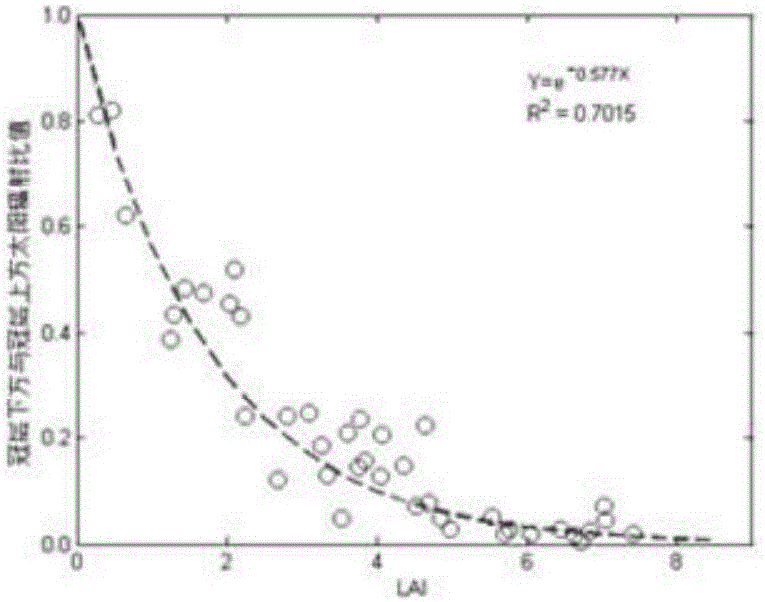
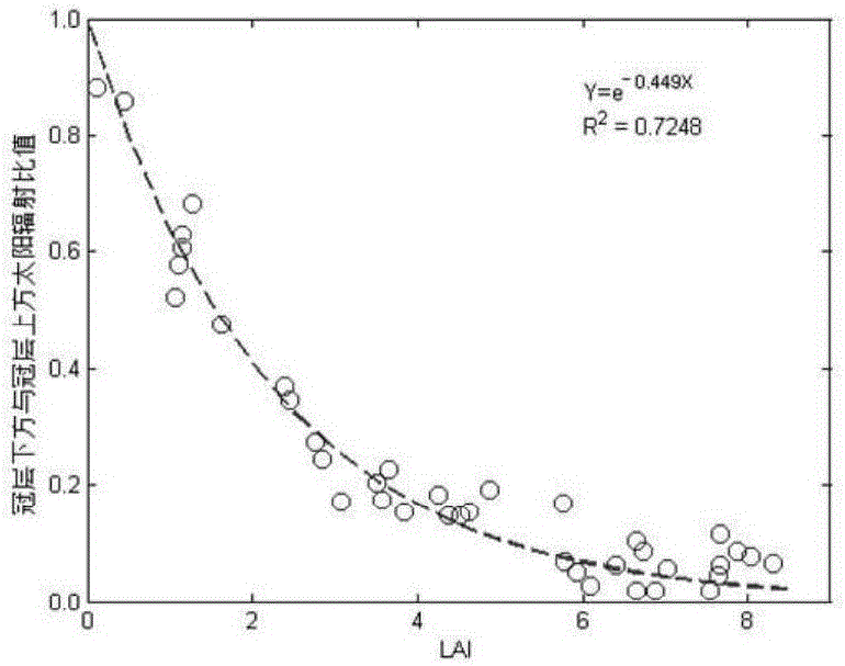
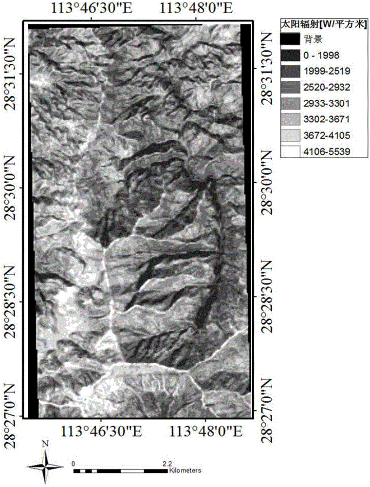
[0083] Embodiment 1: as Figure 1-8 The present invention uses satellite remote sensing image data to estimate the solar radiation intensity below the forest canopy in a complex mountainous environment, while taking into account the effects of the atmosphere and topography to improve the estimation accuracy. The total time and the sun's position and other parameters; then, use satellite remote sensing images to estimate the absorption and scattering characteristics of atmospheric aerosols, water vapor, clouds, and other gas components on solar radiation, and calculate the "real" atmosphere hourly based on the surface solar radiation estimation model The solar direct and diffuse radiation received by the horizontal surface under the condition; thirdly, combined with the digital elevation model DEM to calculate the solar radiation parameters in the direction of the incident angle of light under complex terrain; finally, using satellite remote sensing images to invert the leaf are...
PUM
 Abstract
Description
Claims
Application Information
 - R&D
- Intellectual Property
- Life Sciences
- Materials
- Tech Scout
- Unparalleled Data Quality
- Higher Quality Content
- 60% Fewer Hallucinations
Browse by: Latest US Patents, China's latest patents, Technical Efficacy Thesaurus, Application Domain, Technology Topic, Popular Technical Reports.
© 2025 PatSnap. All rights reserved.Legal|Privacy policy|Modern Slavery Act Transparency Statement|Sitemap|About US| Contact US: help@patsnap.com


