Urban impervious surface coverage rate remote sensing estimation method

A permeable layer and coverage technology, applied in computing, computer parts, instruments, etc., can solve problems such as large initial value dependence, complex GA algorithm implementation, limited parallelism, etc.

Inactive Publication Date: 2018-02-23
BEIJING TECHNOLOGY AND BUSINESS UNIVERSITY
View PDF0 Cites 5 Cited by
  • Summary
  • Abstract
  • Description
  • Claims
  • Application Information

AI Technical Summary

Problems solved by technology

However, the GA algorithm has problems such as complex implementation, large dependence on initial values, and limited parallelism.
Although the PSO alg...

Method used


Image

  • Urban impervious surface coverage rate remote sensing estimation method
  • Urban impervious surface coverage rate remote sensing estimation method
  • Urban impervious surface coverage rate remote sensing estimation method

Examples


Embodiment Construction

[0075] For above technical problem, the invention provides a kind of urban impermeable layer coverage rate remote sensing estimation method (UISP) estimation method, comprising steps as follows:

[0076] S1. Calculate normalized difference vegetation index (NDVI), normalized difference building index (NDBI), and land surface temperature (LST) based on multiple spectral bands of medium-resolution remote sensing images.

[0077] The specific formula is as follows:
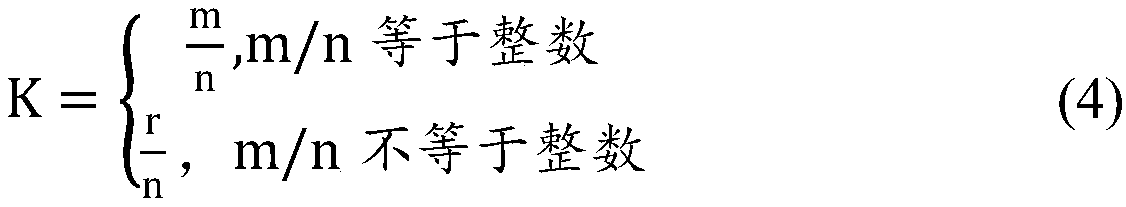
[0078]

[0079]

[0080] The calculation of the surface temperature requires that the images must have thermal infrared bands, and the single-window algorithm is used to calculate the surface temperature. For the specific algorithm, see the following article. "Xie Yuanli et al. Research on Land Surface Temperature Retrieval and Urban Heat Island Effect of Lanzhou City Based on TM Image"

[0081] Wherein, NIR is the spectral value of the near-infrared band, R is the spectral value of the red band, and MIR is t...


PUM


Abstract

The invention discloses an urban impervious surface coverage rate remote sensing estimation method. According to the urban impervious surface coverage rate remote sensing estimation method, medium resolution remote sensing images high in cost performance are taken as the main data sources, chaos particle swarm optimization support vector regression is adopted for estimation of urban impervious surface coverage rate; improvement on parametric optimization algorithm in support vector regression is carried out, an improved support vector regression UISP remote sensing estimation method applied tomedium resolution remote sensing images is promoted so as to increase precision of support vector regression in medium resolution remote sensing image UISP estimation. The performance of UISP estimation taking the medium resolution remote sensing image as the main data sources is improved further, and more accurate urban impervious surface data is provided for correlation research taking urban impervious surface information as input data.

Description

technical field [0001] The present invention relates to the detection of urban impermeable layer, more specifically, relates to a method for remote sensing estimation of coverage rate of urban impermeable layer. Background technique [0002] Urban Impervious Surfaces (Urban Impervious Surfaces, UIS) is an important artificial surface in the city. It can prevent groundwater from seeping into the soil and cut off the connection between the urban surface and underground hydrology. fields and asphalt roads. Urban impermeable layer is not only an indicator to measure the degree of urbanization, but also an important indicator to measure the quality of urban environment. With the continuous acceleration of the global urbanization process, the proportion of urban impervious layers has gradually expanded, which has caused a series of ecological, environmental and social problems such as urban heat island effect, environmental pollution, and resource shortage. Therefore, extracting...

Claims


Application Information

Patent Timeline
IPC IPC(8): G01C11/04G06K9/00
CPCG01C11/04G06V20/176G06V20/13G06V20/188
Inventor 李素郭兆春袁志高许明瑞
Owner BEIJING TECHNOLOGY AND BUSINESS UNIVERSITY
Why Eureka
Try Eureka