Method for selecting locating algorithms in a vehicle
A positioning algorithm and vehicle technology, applied in satellite radio beacon positioning systems, navigation calculation tools, instruments, etc., to achieve the effect of convenient calculation, high performance and good performance
- Summary
- Abstract
- Description
- Claims
- Application Information
AI Technical Summary
Problems solved by technology
Method used
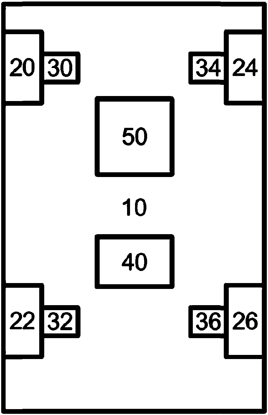
Image

Examples
example 1
[0078] If a parked state is detected, the position does not have to be calculated based on vehicle dynamics sensors (parked state vehicle is not moving). In other words, existing computing capabilities can be used to compute a position based on satellite navigation by means of Precise Point Positioning (PPP). As a result, an increasingly precise initial position can be determined for the ensuing subsequent drive through a longer stop. Then, as soon as the vehicle is moving again, the satellite navigation switches to speed determination and estimates the vehicle motion based on vehicle dynamics data, for example on the basis of a vehicle dynamics model (two-lane model, etc.) matched to the satellite navigation data.
[0079] Compared with pure satellite navigation sensors, since the processing algorithm or positioning algorithm knows that the vehicle is in a parked state, that is, the vehicle position does not change, based on this knowledge, the calculation algorithm can be us...
example 2
[0081] As shown in Example 1, Precise Point Positioning (PPP) is used while parked. But while continuing to drive, a Single Point Positioning (SPP) is calculated from the Global Navigation Satellite System (GNSS) and vehicle motion is calculated from vehicle driving dynamics data. In this way, computationally complex precise point positioning (PPP) can be performed for each stop in order to achieve the highest possible absolute accuracy. Based on the precise position, a "simpler" single point positioning (SPP) algorithm and vehicle dynamics data can then support high-precision positioning.
[0082] In this way, in order to maintain high-precision positioning, it is possible to focus mainly on the calculation of precise point positioning (PPP) in each parking state and during driving, mainly on the calculation of vehicle driving dynamics data. With this optimization, it achieves higher accuracy with less computational load than using a single method.
example 3
[0084] During driving at a controlled constant speed, for example when using a constant speed controller, Single Point Positioning (SPP) is performed by means of the Global Navigation Satellite System (GNSS). Since the vehicle is known to travel at a constant speed, at this point, the value dispersion originating from the Global Navigation Satellite System (GNSS) and other sensors used is estimated. And then for a corresponding random filter (eg noise matrix for a Kalman filter), for example during normal driving.
PUM
 Abstract
Description
Claims
Application Information
PatSnap Eureka turns technology decisions into work you can execute. Powered by our Innovation Knowledge Graph, it runs expert workflows across engineering, life sciences, materials and intellectual property. Get your review-ready output in minutes.


