
Method, device and navigation system for path calculation

A path calculation and navigation system technology, applied to road network navigators, navigation, measurement devices, etc., can solve the problem of rapid growth of the total data volume of the region, and achieve the effect of reducing data volume and recording

Active Publication Date: 2021-02-23
NAVINFO
View PDF6 Cites 0 Cited by
  • Summary
  • Abstract
  • Description
  • Claims
  • Application Information

AI Technical Summary

Problems solved by technology

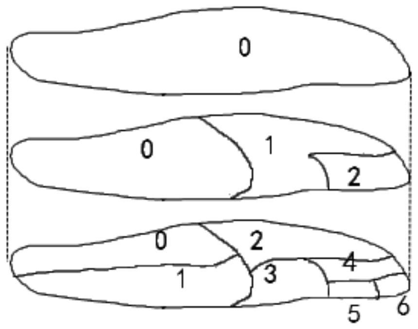
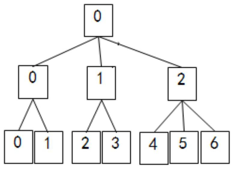
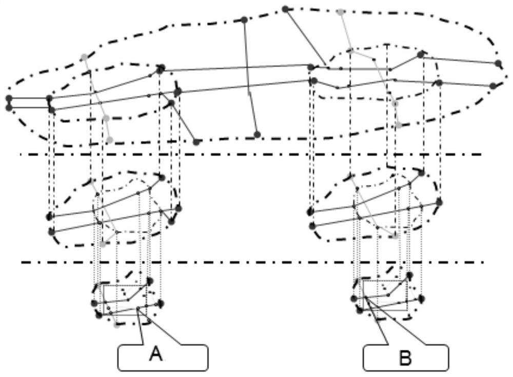
In the actual guidance process, due to the limitation of the hardware performance of the navigator, it is not necessary to read all the path data at once, and only load the relevant path calculation data according to the starting point and end point for path guidance. However, this method of collecting path guidance data will lead to a total The data volume grows rapidly, and the division of the overrun region will also increase the total data volume of the region.

Method used


Image

  • Method, device and navigation system for path calculation
  • Method, device and navigation system for path calculation
  • Method, device and navigation system for path calculation

Examples


Embodiment Construction

[0048]Certain terms are used, for example, in the description and claims to refer to particular components. Those skilled in the art should understand that hardware manufacturers may use different terms to refer to the same component. The specification and claims do not use the difference in name as a way to distinguish components, but use the difference in function of components as a criterion for distinguishing. As mentioned throughout the specification and claims, "comprising" is an open term, so it should be interpreted as "including but not limited to". "Approximately" means that within an acceptable error range, those skilled in the art can solve the technical problem within a certain error range and basically achieve the technical effect. The following descriptions in the specification are preferred implementation modes for implementing the present invention, but the descriptions are for the purpose of illustrating the general principles of the present invention, and a...


PUM


Abstract

The invention discloses a path calculation method, device and navigation system. The method includes: performing high-speed preferential route calculation processing on local area route calculation data and basic route calculation data to obtain first route guidance data; performing route guidance inspection on the first route guidance data to obtain representative routes in the first route guidance data The length of the path; the local path calculation data and the basic path calculation data are comprehensively calculated and processed to obtain the second path guidance data; the second path guidance data is checked for path guidance, and the length of the representative path in the second path guidance data is obtained; The first route guidance data or the second route guidance data are recorded according to the length of the representative route in the first route guidance data and the length of the representative route in the second route guidance data. The present invention reduces the total data volume of path calculation data by changing the scheme of recording OD data, and ensures that the electronic navigation data conforming to the KiWi format can be produced in time under the condition of rapid road growth.

Description

technical field [0001] The invention relates to the field of electronic navigation, in particular to a path calculation method, device and navigation system. Background technique [0002] Both the GDF (Geographical Data File) database standard and the KiWi database standard are geographic information data oriented to the field of car navigation, and both are based on GPS positioning technology. The GDF database originated in Europe and America and is suitable for car navigation technology with European and American cultural background, while the KiWi database originated in Japan and is suitable for car navigation technology with oriental cultural background. The GDF database has a solid theoretical foundation, while the KiWi database focuses on practical experience. [0003] The KiWi data format has been submitted by Japan to the International Organization for Standardization (ISO) as a data input format. The format aims to provide a common electronic map data physical stor...

Claims


Application Information

Patent Timeline
Patent Type & Authority Patents(China)
IPC IPC(8): G01C21/20G01C21/34
CPCG01C21/20G01C21/343
Inventor 赵风萍张彦锋朱忠朋王晓娟
Owner NAVINFO
Learn More