Moving ship detecting and tracking method based on satellite sequence images

A technology for sequence image and ship detection, applied in the field of video satellite image processing, can solve problems such as the inability of ship motion information

Inactive Publication Date: 2018-11-13
CHINA ACADEMY OF SPACE TECHNOLOGY
View PDF5 Cites 20 Cited by
  • Summary
  • Abstract
  • Description
  • Claims
  • Application Information

AI Technical Summary

Problems solved by technology

However, whether it is a SAR remote sensing image or an optical static remote sensing image, it can only realize ship detection based on a single image, and cannot do anything about the ship's motion information.

Method used


Image

  • Moving ship detecting and tracking method based on satellite sequence images
  • Moving ship detecting and tracking method based on satellite sequence images
  • Moving ship detecting and tracking method based on satellite sequence images

Examples


Embodiment Construction

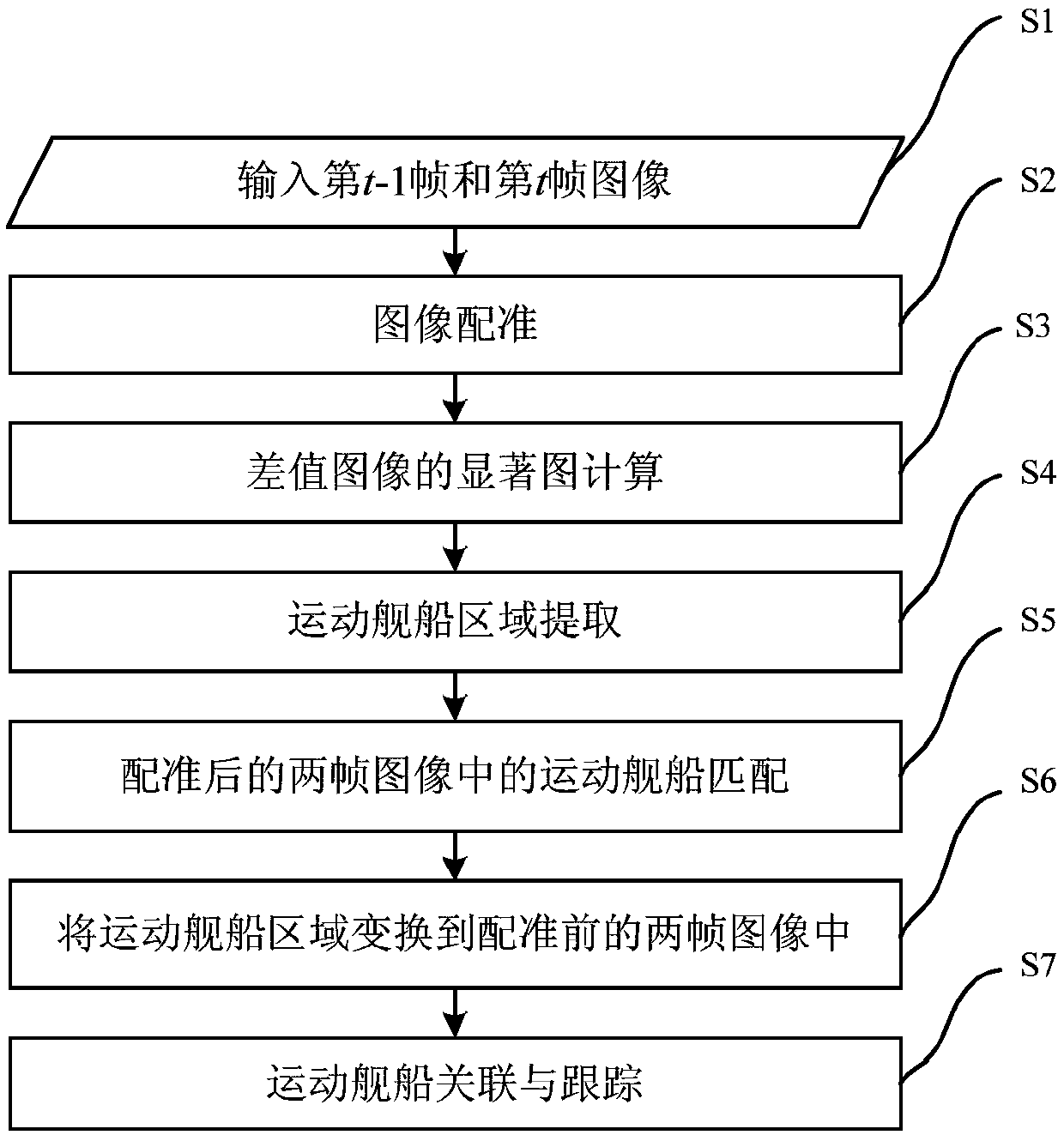
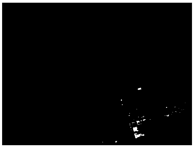
[0089] Embodiments of the present invention provide a method for detecting and tracking moving ships based on satellite sequence images, the specific steps are as follows figure 1 As shown, the method includes the following steps:

[0090] S1. Continuously acquire satellite sequence images including moving ships through satellites. In the obtained satellite sequence images, the t-1th frame image is represented as I t-1 , the tth frame image is denoted as I t , where t is a positive integer greater than or equal to 2.

[0091] S2, with the t-1th frame image I in step S1 t-1 As a reference image, take the tth frame image I t For the image to be registered, the pyramid-based least squares matching method is used to calculate I t-1 and I t The affine transformation matrix between, according to the obtained affine transformation matrix pair I t Perform transformation to obtain the t-th frame image after registration

[0092] Regardless of the geostationary orbit satellite ...


PUM


Abstract

The invention relates to a moving ship detecting and tracking method based on satellite sequence images, and belongs to a video satellite image processing technology. The method in the invention comprises the steps of: continuously obtaining satellite sequence images including a moving ship, and inputting adjacent two frames of images; performing image registration on the two frames of images; calculating a difference image of the two frames of images, and calculating the multi-scale saliency map of the difference image; after extracting a binary foreground image based on the saliency map, respectively extracting moving ship areas in the two frames of images according to the gray difference of the background and the ship areas; matching the moving ship areas in the two frames of images, sothat a moving ship matching pair is obtained; and associating the moving ship by taking the intermediate frame in every three frames of images as the association frame, so that ship tracking is realized. According to the method disclosed by the invention, the multi-scale saliency map of the difference image is sufficiently utilized; the problems of target empty, many fine outlines and the like inthe difference image can be avoided; ship matching is carried out through every adjacent two frames of images; and ship tracking is realized by taking the intermediate frame in every three frames ofimages as the association frame.

Description

technical field [0001] The invention relates to a moving ship detection and tracking method based on satellite sequence images, belonging to video satellite image processing technology. Background technique [0002] my country has a vast coastline and a vast ocean area. Ships are important means of transportation and military targets at sea. It is of great practical significance to monitor and track ship targets in relevant ocean areas. In the civilian field, it can monitor some important ports or sea areas, and has broad application prospects in marine security, maritime management, marine traffic control, illegal smuggling, and illegal fishing. In the military field, ship target detection and tracking technology plays an important role in the field of marine reconnaissance and surveillance. It can monitor the dynamics of ships in important ports or sea areas, analyze the position, course and speed of ships, and identify ship types. [0003] At present, the commonly used g...

Claims


Application Information

Patent Timeline
Patent Type & Authority Applications(China)
IPC IPC(8): G06T7/246G06T7/254
CPCG06T7/248G06T7/254G06T2207/10016G06T2207/10032G06T2207/20016G06T2207/20224G06T2207/30232
Inventor 李海超陈亮李峰黄美玉辛蕾
Owner CHINA ACADEMY OF SPACE TECHNOLOGY
Why Eureka
Try Eureka