Underwater acoustic navigation positioning method based on particle filtering algorithm
A particle filter algorithm, navigation and positioning technology, applied in navigation, mapping and navigation, navigation calculation tools, etc., can solve problems such as the increase of the positioning error of the underwater vehicle, the failure of the positioning of the underwater vehicle, the equivalent sound speed error, etc. Achieve the effect of reducing the possibility, realizing long-distance accurate underwater acoustic positioning and navigation, and improving the accuracy
- Summary
- Abstract
- Description
- Claims
- Application Information
AI Technical Summary
Problems solved by technology
Method used
Image


Examples
Embodiment 1
[0039] The following combination Figure 1 to Figure 6 Embodiment 1 of the present application will be described.
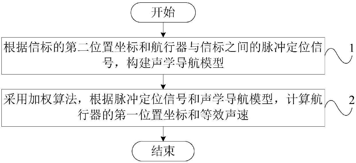
[0040] Such as figure 1 As shown, this embodiment provides a particle filter algorithm-based underwater acoustic navigation and positioning method, including: step 1, according to the second position coordinates of the beacon and the pulse positioning signal between the aircraft and the beacon, construct an acoustic navigation model, Among them, the pulse positioning signal is sent by the beacon to the aircraft;
[0041] Specifically, such as figure 2 As shown, set the Y-axis direction to 0°, and the coordinates of the three beacons are B1(0,0), B2(r,0) and B3 respectively The initial position of the aircraft is A(3r / 4, r / 5), and the aircraft moves along the track 201 in a straight line with a speed of 2.5m / s and a heading of 75° clockwise. In practical applications, even if the aircraft moves in a straight line at a uniform speed, it will be affected by th...
Embodiment 2
[0081] After calculating the first position coordinates and the equivalent sound velocity of the aircraft through Embodiment 1, a signal delay model can also be constructed, and the third position coordinates of the aircraft can be calculated by using the equivalent sound velocity, and then the weighting algorithm can be used, according to the first The position coordinates and the third position coordinates are used to calculate the fourth position coordinates of the aircraft, including:
[0082] Step 7: Construct a signal delay model based on the pulse positioning signals received by the aircraft from multiple propagation paths, where the pulse positioning signal is sent by the beacon to the aircraft, the number of propagation paths is determined by the current water environment, and the signal delay model The calculation formula is:
[0083]
[0084] In the formula, y * (n) is the pulse positioning signal transmitted by the beacon received by the aircraft, s(n) is the p...
PUM
 Abstract
Description
Claims
Application Information