

A remote sensing image data space rapid visualization method based on lerc
A technology of remote sensing images and data space, applied in the field of remote sensing, to achieve the effect of cost reduction
- Summary
- Abstract
- Description
- Claims
- Application Information
AI Technical Summary
Problems solved by technology
Method used
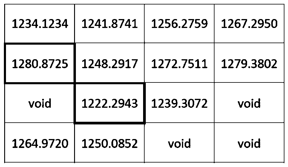
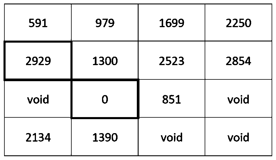
Image

Examples
Embodiment Construction
[0034] In many remote sensing applications such as agriculture and the environment, the application of remote sensing image data is to use its multi-spectral characteristics to analyze specific ground conditions, such as the growth of crops and the degree of environmental pollution. In these application fields, the remote sensing image data formed through professional processing means, and the result information attribute carried by it is the core information displayed to the user. Since the results of this type of data application are usually limited in scope, and there are multiple periods of data display in the same location, it is necessary to support continuous addition of new data and replacement of original data, and the flexibility of the data is stronger; in addition, due to the attributes carried by the data Information is very important. Each image pixel can show the development curve of its data through multi-period data, and then show the growth trend of crops. The...
PUM
 Abstract
Description
Claims
Application Information