Coral reef bleaching remote sensing monitoring method based on time series satellite images

A technology of time series and satellite images, applied in the field of satellite remote sensing monitoring, can solve problems such as confusion and complex stripping of coral reef remote sensing information

Pending Publication Date: 2019-12-06
NATIONAL MARINE ENVIRONMENTAL MONITORING CENTRE
View PDF0 Cites 2 Cited by
  • Summary
  • Abstract
  • Description
  • Claims
  • Application Information

AI Technical Summary

Problems solved by technology

For example, a pixel in a remote sensing image is often mixed with information of different coral reef substrate types. Even in clear water, the currently widely used optical remote sensing technology can only detect objects at a depth of 20 meters underwater. The strong absorption and attenuation effect in the visible light band makes the problem of stripping remote sensing information of different substrates of coral reefs more complicated

Method used


Image

  • Coral reef bleaching remote sensing monitoring method based on time series satellite images
  • Coral reef bleaching remote sensing monitoring method based on time series satellite images
  • Coral reef bleaching remote sensing monitoring method based on time series satellite images

Examples


Embodiment Construction

[0036] The present invention will be described in detail below in combination with specific embodiments.

[0037]1. Using time-series satellite images to establish an optimal combination set of spatio-temporal variation features for remote sensing monitoring of coral reef bleaching

[0038] 1. Image radiometric calibration, atmospheric correction, geometric correction

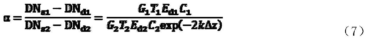
[0039] Select Landsat NASA's land satellite, Sentine1-2 (Sentinel-2 satellite), and domestic high-resolution satellite series data, and perform geometric correction, radiometric calibration and atmospheric correction on the image data in sequence. Geometry correction is combined with ground control point coordinates in Arc g It is completed in the is software, and the relative position error between the images of each time phase after geometric correction should be less than 0.5 pixel. Radiation calibration is mainly calculated based on the calibration formulas and calibration coefficients in various satellit...


PUM


Abstract

The invention discloses a coral reef bleaching remote sensing monitoring method based on a time series satellite image. The coral reef bleaching remote sensing monitoring method comprises the steps: building an optimal space-time change feature combination set of coral reef bleaching remote sensing monitoring through the time sequence satellite image; performing coral reef bleaching satellite remote sensing monitoring based on a change detection method in combination with a sea temperature remote sensing monitoring product; and evaluating the coral reef bleaching change detection precision based on field verification data. The coral reef bleaching remote sensing monitoring method has the beneficial effect that the coral reef bleaching condition can be accurately and efficiently monitored and judged.

Description

technical field [0001] The invention belongs to the technical field of satellite remote sensing monitoring and relates to a remote sensing monitoring method for coral reef bleaching based on time series satellite images. Background technique [0002] Coral reefs are one of the ecosystems with the highest productivity and the richest biological species on earth, and are ecological key areas with special value for maintaining the productivity of marine resources, and are also important indicators of marine environmental health (Zhao Meixia et al., 2006; Zhao Huanting et al., 2009; Lian Jiansheng et al., 2010). However, in the past few decades, due to the impact of global climate change and human activities, coral reefs around the world are undergoing profound changes (Wilkinson, 2008; Huang et al., 2013; Suchana et al., 2015). Studies have shown that 75% of coral reefs in the world have been threatened to varying degrees, among which coral reefs in Southeast Asia are most ser...

Claims


Application Information

Patent Timeline
IPC IPC(8): G06T7/00G06T5/00
CPCG06T7/0002G06T2207/10032G06T2207/30181G06T5/80Y02A40/81
Inventor 徐京萍赵建华王飞李飞
Owner NATIONAL MARINE ENVIRONMENTAL MONITORING CENTRE
Why Eureka
Try Eureka