Beidou/GNSS high-precision rapid positioning device and method for construction process
A technology of positioning equipment and positioning method, applied in satellite radio beacon positioning systems, measuring devices, instruments, etc., can solve problems such as inability to control precision, and achieve the effects of high precision, strong anti-interference, and reasonable data
- Summary
- Abstract
- Description
- Claims
- Application Information
AI Technical Summary
Problems solved by technology
Method used
Image
Examples
Embodiment 1
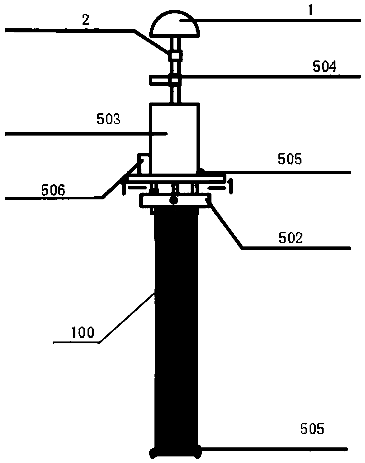
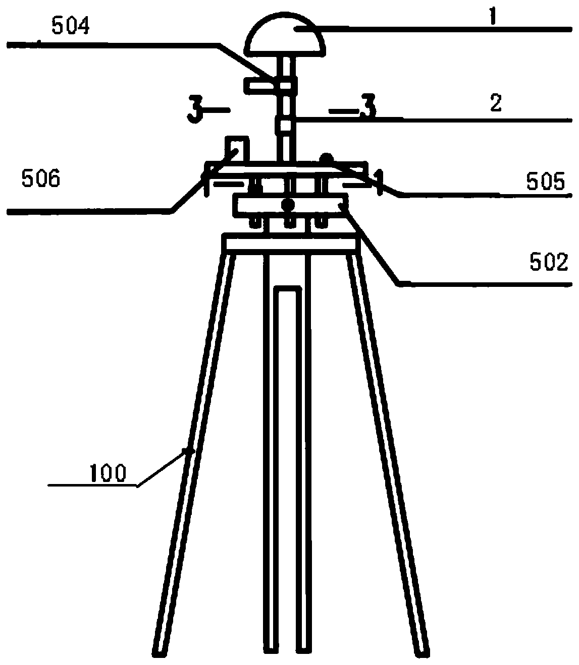
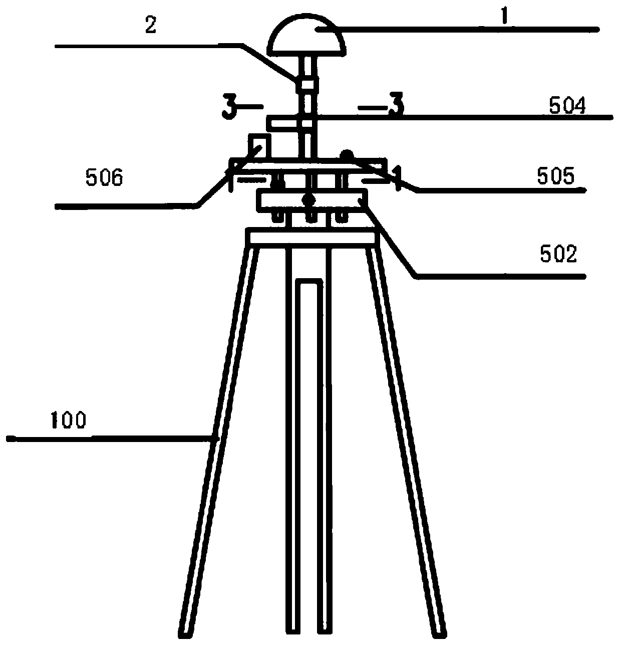
[0035] Such as figure 1 As shown, a Beidou / GNSS high-precision rapid positioning equipment used in the construction process includes a support 100, and a leveling device 502 is arranged above the support 100. The leveling device 502 consists of a chassis, a top plate, and a chassis and a top plate. Composed of connecting rods between them; above the leveling device 502, an electronic bubble 505, a vibration detection device 506, a laser distance measuring device 504 and a prism 2 are arranged; the top of the leveling device 502 is provided with a satellite signal receiver 1; a laser range finder 504 , the prism 2 is arranged between the leveling device 502 and the satellite signal receiver 1 .
[0036] In order to further explain this embodiment, it should be noted that, as figure 1 , when the support 100 is a hollow tubular structure, the support 100 is filled with sand, which is used for foundation pit monitoring and other projects that require continuous monitoring. A forc...
Embodiment 2
[0042] A Beidou / GNSS high-precision and rapid positioning method used in the construction process, the specific steps are as follows:
[0043] 1) The satellite signal receiver in the Beidou / GNSS high-precision positioning equipment receives Beidou satellite and other satellite signals; the laser rangefinder 504) measures the horizontal distance between two high-precision positioning equipment; the vibration detection equipment measures the construction vibration;
[0044] 2) Computer input calculation parameters;
[0045] 3) Data transmission: the wireless transmission equipment automatically transmits the satellite signal received by the satellite receiver 1 and the horizontal distance measured by the laser rangefinder d ), the construction vibration data measured by the vibration monitor are sent to the computer;
[0046] 4) The computer reads the satellite signal data for calculation. Based on the Beidou / GNSS static relative positioning, Kalman filter is used to estimate, ...
PUM
 Abstract
Description
Claims
Application Information
 - R&D
- Intellectual Property
- Life Sciences
- Materials
- Tech Scout
- Unparalleled Data Quality
- Higher Quality Content
- 60% Fewer Hallucinations
Browse by: Latest US Patents, China's latest patents, Technical Efficacy Thesaurus, Application Domain, Technology Topic, Popular Technical Reports.
© 2025 PatSnap. All rights reserved.Legal|Privacy policy|Modern Slavery Act Transparency Statement|Sitemap|About US| Contact US: help@patsnap.com


