Radar-rain gauge combined rainfall estimation method based on space-time local model
A space-time local, rain gauge technology, applied in the direction of rainfall/precipitation gauges, measuring devices, radio wave measurement systems, etc., can solve the problems of large local errors and low estimation accuracy, and achieve the effect of improving accuracy
- Summary
- Abstract
- Description
- Claims
- Application Information
AI Technical Summary
Problems solved by technology
Method used
Image
Examples
Embodiment Construction
[0031] The present invention will be further described below in conjunction with the accompanying drawings and embodiments.
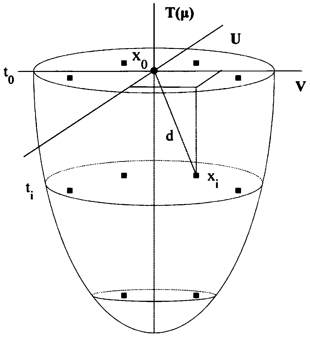
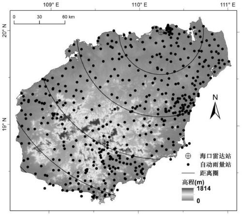
[0032] like figure 1 and 2Shown, the present invention a kind of radar-rain gauge joint precipitation estimation method based on spatiotemporal local model, described method comprises the following steps:
[0033] Step 1: Preliminary quality control of rain gauge observation data: according to the rain gauge △t 1 The lower limit of the minute rainfall is MINmm, and the upper limit is MAX mm, and preliminary quality control is carried out on the observation data of the rain gauge; among them, 1≤△t 1 ≤60;
[0034] Step 2: Radar echo quality control: through super-refractive surface object echo identification and removal, echo hole filling, radar beam blocking correction, and isolated noise echo removal processing, the quality control of radar echo is carried out;
[0035] Step 3: Radar volume scan data gridding: Invert the grid coordinates of L km×L k...
PUM
 Abstract
Description
Claims
Application Information
 - R&D
- Intellectual Property
- Life Sciences
- Materials
- Tech Scout
- Unparalleled Data Quality
- Higher Quality Content
- 60% Fewer Hallucinations
Browse by: Latest US Patents, China's latest patents, Technical Efficacy Thesaurus, Application Domain, Technology Topic, Popular Technical Reports.
© 2025 PatSnap. All rights reserved.Legal|Privacy policy|Modern Slavery Act Transparency Statement|Sitemap|About US| Contact US: help@patsnap.com


