Satellite map target object contour identification method

A satellite map and recognition method technology, applied in the field of satellite map target contour recognition, can solve the problem of high cost, and achieve the effects of improving efficiency, accurate acquisition, and ensuring accuracy and real-time performance.

Inactive Publication Date: 2020-11-20
广东融合通信股份有限公司
View PDF3 Cites 8 Cited by
  • Summary
  • Abstract
  • Description
  • Claims
  • Application Information

AI Technical Summary

Problems solved by technology

But this method has great limitations: complete data needs to be applied for and purchased from relevant government agencies, and the cost is high; there are not many vector data shared on the Internet, only including the main areas of some major cities, and they are not up-to-date The data

Method used


Image

  • Satellite map target object contour identification method
  • Satellite map target object contour identification method
  • Satellite map target object contour identification method

Examples


Embodiment Construction

[0027] In order to make the object, technical solution and advantages of the present invention clearer, the present invention will be further described in detail below in conjunction with the accompanying drawings and embodiments. It should be understood that the specific embodiments described here are only used to explain the present invention, not to limit the present invention.

[0028] A method for identifying the outline of a satellite map target, comprising the following steps;

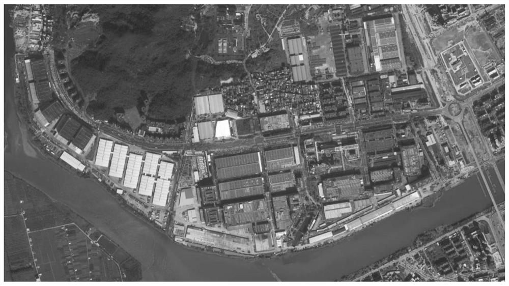
[0029] (1) Obtain the satellite image of the specified area:

[0030] First determine the area to be identified, and form a rectangular area covering the target area on the network map with the maximum value of the vertical coordinate difference and horizontal coordinate difference of the area boundary coordinate set; convert the coordinates of the four vertices of the rectangle into tile coordinates , traverse the tile numbers in the rectangular interval and request the network provider link t...


PUM


Abstract

The invention discloses a satellite map target object contour identification method. The method comprises of (1) obtaining a designated area satellite map; (2) identifying a mask pattern; (3) obtaining the poi contour information; (4) splicing poi mask patterns; (5) identifying the poi mask patterns; and (6) obtaining the area, boundary set pixel points and center set pixel points of the related graph contour through an image processing technology, and calculating the complete area of the contour according to the corresponding proportion. According to the method provided by the invention, thetarget object contour data of the designated area can be automatically identified, the required data comes from the Internet, purchase and application are not needed, cost is greatly reduced, and efficiency is further improved, and meanwhile, the data is mainly acquired from the map service provider, so accuracy and the real-time performance of the data are ensured, and the building contour data information can be relatively accurately acquired.

Description

【Technical field】 [0001] The invention relates to the technical field of image recognition, in particular to a method for recognizing the outline of a satellite map target. 【Background technique】 [0002] At present, the data interface disclosed by the main map service software on the market is accurate to the outline of the point of information (POI) at most for the outline of the area. For more precise outline requirements, such as the data of a certain building, none of the major map service software currently provides relevant services. [0003] Although there are some GIS platforms that can generate the required target outline based on the vector map data of a certain city. But this method has great limitations: complete data needs to be applied for and purchased from relevant government agencies, and the cost is high; there are not many vector data shared on the Internet, only including the main areas of some major cities, and they are not up-to-date The data. 【Con...

Claims


Application Information

Patent Timeline
Patent Type & Authority Applications(China)
IPC IPC(8): G06K9/00G06K9/46G06K9/32
CPCG06V20/13G06V10/25G06V10/44
Inventor 沈翀许健彰吴科春梁世耀
Owner 广东融合通信股份有限公司
Why Eureka
Try Eureka