

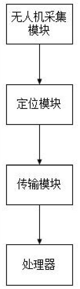
Unmanned aerial vehicle bridge bottom detection system
A detection system and unmanned aerial vehicle technology, applied in the direction of radio wave measurement system, satellite radio beacon positioning system, signal transmission system, etc., can solve the problems of influence and large positioning error, and achieve economical and reasonable, simple equipment and instruments, and easy installation Simple operation effect
- Summary
- Abstract
- Description
- Claims
- Application Information
AI Technical Summary
Problems solved by technology
Method used
Image

Examples
Embodiment Construction
[0045] Various exemplary embodiments of the present invention will now be described in detail. The detailed description should not be considered as a limitation of the present invention, but rather as a more detailed description of certain aspects, features and embodiments of the present invention.
[0046] It should be understood that the terminology described in the present invention is only used to describe specific embodiments, and is not used to limit the present invention. In addition, regarding the numerical ranges in the present invention, it should be understood that each intermediate value between the upper limit and the lower limit of the range is also specifically disclosed. Each smaller range between any stated value or intervening value in a stated range and any other stated value or intervening value in a stated range is encompassed within the invention. The upper and lower limits of these smaller ranges may independently be included or excluded from the range. ...
PUM
 Abstract
Description
Claims
Application Information