
Geographic information data acquisition and analysis system and acquisition and analysis method

A geographic information data collection and analysis technology, applied in the field of geographic information, can solve problems such as loss, large delay, and geographic information data cannot be stored in the first time, so as to improve efficiency and avoid loss

Pending Publication Date: 2021-12-31
伟志股份公司
View PDF0 Cites 0 Cited by
  • Summary
  • Abstract
  • Description
  • Claims
  • Application Information

AI Technical Summary

Problems solved by technology

In the geographic information system, the most important data is the collected geographic information data. In the existing technology, most of the geographic information data is acquired by special equipment, and then summarized and stored at the remote end. There is a large delay in the middle, and the geographic information data cannot Stored at the first time, prone to loss

Method used

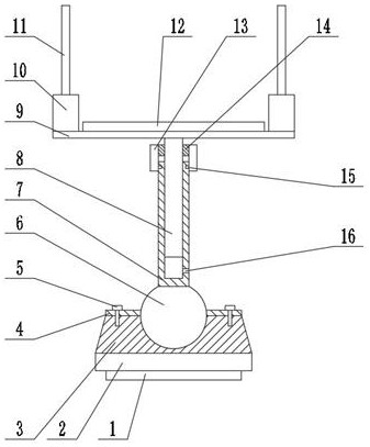
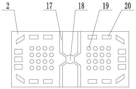

Image

  • Geographic information data acquisition and analysis system and acquisition and analysis method
  • Geographic information data acquisition and analysis system and acquisition and analysis method

Examples


Embodiment Construction

[0023] The following will clearly and completely describe the technical solutions in the embodiments of the present invention with reference to the accompanying drawings in the embodiments of the present invention. Obviously, the described embodiments are only some, not all, embodiments of the present invention. Based on the embodiments of the present invention, all other embodiments obtained by persons of ordinary skill in the art without making creative efforts belong to the protection scope of the present invention.

[0024] see figure 1 and 2 , figure 1 is a schematic diagram of the specific structure of the network terminal, figure 2 It is a schematic diagram of the structure of the ground.

[0025] A geographic information data collection and analysis system includes multiple data collection terminals, multiple network terminals and an analysis computer.

[0026] A plurality of data collection terminals are used for collecting geographic information data.

[0027] ...


PUM


Abstract

The invention discloses a geographic information data collection and analysis system and method, and the system comprises a plurality of data collection terminals which are used for collecting geographic information data; a plurality of network terminals used for forwarding the geographic information data, wherein the network terminals are in wireless communication connection with one or more of the data acquisition terminals, and two adjacent network terminals are in wireless communication connection; and an analysis computer used for analyzing and processing the geographic information data, wherein the analysis computer is in wireless communication connection with one of the network terminals. According to the invention, a wireless communication network can be established through a plurality of network terminals at a collection site, so that the geographic information data collected by the data collection terminal can be quickly sent to the analysis computer, the efficiency of collection and analysis of the geographic information data can be improved, and the geographic information data is prevented from being lost.

Description

technical field [0001] The invention relates to the technical field of geographic information, in particular to a geographic information data collection and analysis system and a collection and analysis method. Background technique [0002] GIS is a specific and very important spatial information system. It is a technical system that collects, stores, manages, calculates, analyzes, displays and describes the relevant geographical distribution data in the space of the entire or part of the earth's surface (including the atmosphere) with the support of computer hardware and software systems. In the geographic information system, the most important data is the collected geographic information data. In the existing technology, most of the geographic information data is acquired by special equipment, and then summarized and stored at the remote end. There is a large delay in the middle, and the geographic information data cannot It is stored for the first time and is prone to lo...

Claims


Application Information

Patent Timeline
Patent Type & Authority Applications(China)
IPC IPC(8): G06F16/29G06F16/27H04W4/38
CPCG06F16/29G06F16/27H04W4/38
Inventor 张华鹏姚俊启张哲伟
Owner 伟志股份公司
Learn More